
Understanding Composite Reflectivity Maps for In-Car Weather Monitoring
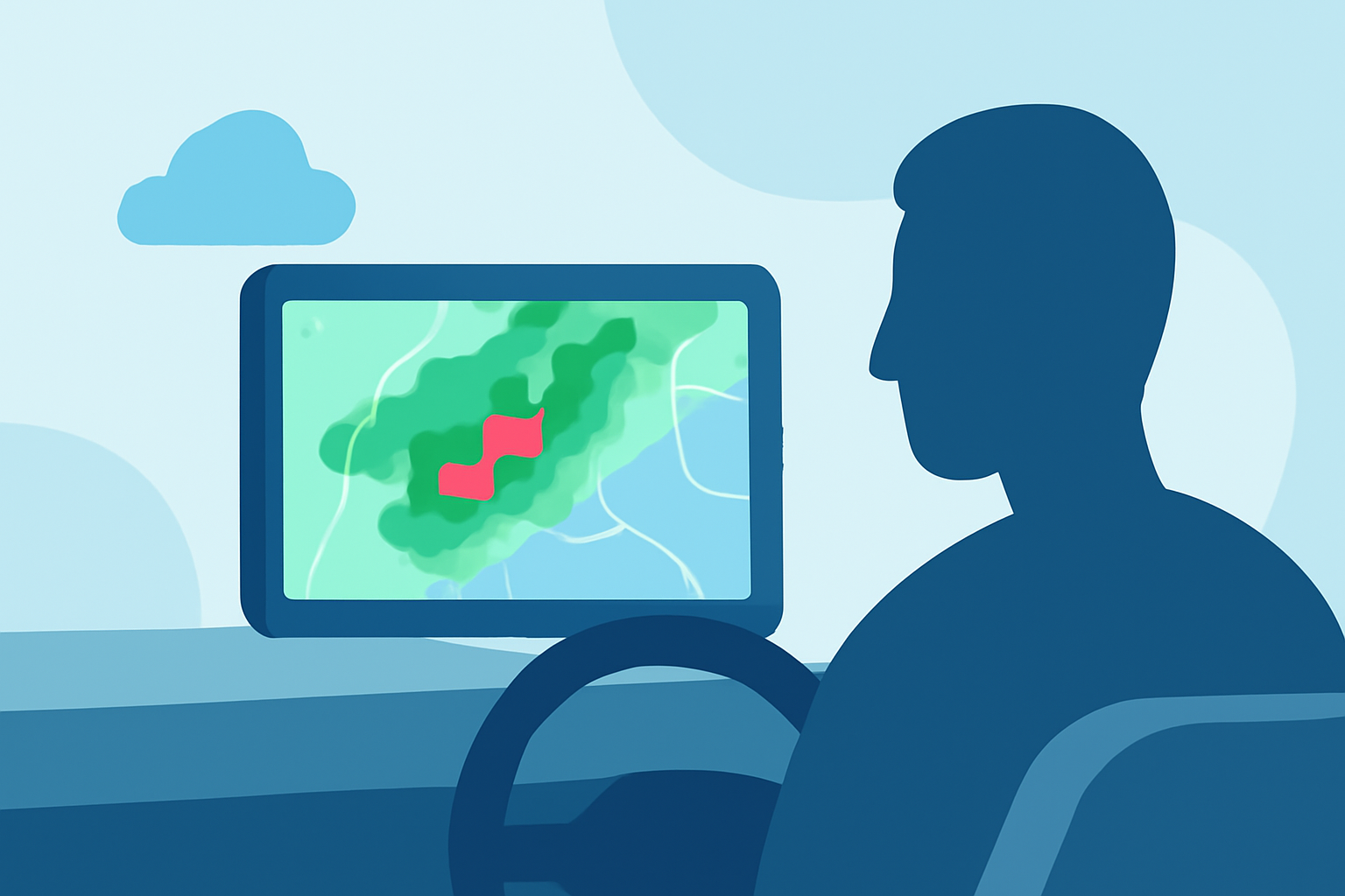
Composite reflectivity maps are essential tools for monitoring weather conditions, especially when traveling. These maps display the maximum reflectivity values from various radar angles, providing a comprehensive view of precipitation intensity and storm structure. Understanding how to interpret these maps can significantly enhance your ability to anticipate weather changes and make informed decisions on the road.
What Are Composite Reflectivity Maps?
Composite reflectivity maps combine data from multiple radar scans at different elevation angles to present the highest reflectivity values observed within a specific area. This approach offers a more complete picture of precipitation intensity and storm development compared to single-angle scans. By integrating information from various angles, these maps help identify the most intense portions of thunderstorms and monitor larger-scale weather systems, such as squall lines or multicell storms. (windy.com)
How Do Composite Reflectivity Maps Differ from Base Reflectivity?
While base reflectivity maps display precipitation intensity at a single elevation angle, composite reflectivity maps aggregate data from multiple angles to highlight the strongest echoes within a storm column. This method allows for the detection of higher-altitude precipitation that may not be visible in base reflectivity scans, providing a more comprehensive assessment of storm strength and potential impact. (prod-01-alb-www-noaa.woc.noaa.gov)
Interpreting Composite Reflectivity Maps in Your Vehicle
When using composite reflectivity maps for in-car weather monitoring, consider the following tips:
-
Monitor Storm Intensity: Look for areas with high reflectivity values, indicating intense precipitation or severe weather conditions.
-
Assess Storm Movement: Observe the direction and speed of storm movement to anticipate potential impacts on your route.
-
Identify Severe Weather Features: Be aware of features such as hook echoes, which can indicate tornado development, and bounded weak echo regions (BWERs), associated with strong updrafts and severe weather. (weather.gov)
Limitations of Composite Reflectivity Maps
While composite reflectivity maps are valuable for assessing storm intensity, they have certain limitations:
-
Vertical Structure Masking: These maps may obscure the vertical structure of storms, making it challenging to detect features like hook echoes or outflow boundaries that are visible in base reflectivity scans. (prod-01-alb-www-noaa.woc.noaa.gov)
-
Data Update Frequency: Composite reflectivity maps are typically produced after the radar has completed a volume scan, which can take several minutes. This delay may affect the timeliness of the information. (prod-01-alb-www-noaa.woc.noaa.gov)
Enhancing In-Car Weather Monitoring with Clime
For real-time weather monitoring in your vehicle, Clime offers a comprehensive solution that integrates composite reflectivity maps with live weather data. Clime's platform provides up-to-date radar imagery, detailed storm tracking, and customizable alerts, ensuring you stay informed about changing weather conditions during your travels. By leveraging Clime's features, you can enhance your situational awareness and make safer driving decisions.
Conclusion
Understanding and effectively interpreting composite reflectivity maps is crucial for in-car weather monitoring. By utilizing these maps, along with Clime's advanced features, you can stay informed about weather conditions, anticipate potential hazards, and make well-informed decisions to ensure a safe journey.