Avoiding Mistakes with Composite Reflectivity Maps for Commuters
Last updated: 2023-09-07
When using composite reflectivity maps for daily commuting, it’s essential to recognize their strengths and limitations. While these maps provide a helpful overview of precipitation, they should be used alongside other radar types for more accurate situational awareness.
Summary
- Composite reflectivity maps summarize precipitation over time, enabling users to visualize weather patterns.
- While helpful, they do not display ground-level data effectively, which can lead to misinterpretation.
- Using both composite and base reflectivity maps together offers a comprehensive assessment.
- Available on platforms like Clime, these tools enhance awareness of severe weather conditions.
What is Composite Reflectivity and How Does It Work?
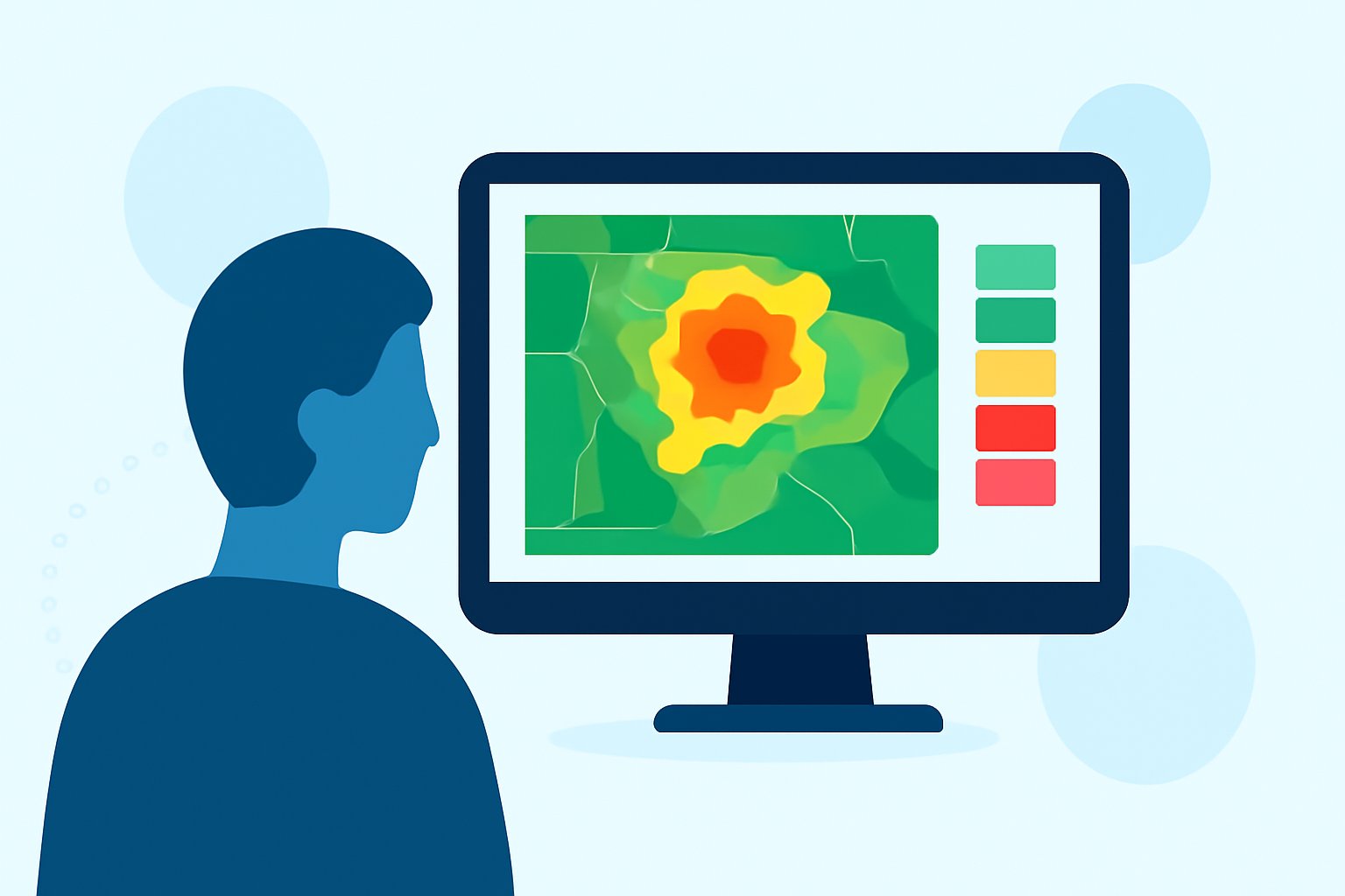
Composite reflectivity combines data from various radar elevation angles to create a single image that represents precipitation intensity. This method captures echoes from multiple altitudes, producing an image that highlights the highest intensity areas, which is useful for broad situational awareness, especially during severe weather. However, it’s critical to note that the data displayed is at various heights, potentially overlooking ground conditions.
Common Mistakes to Avoid
Relying Solely on Composite Reflectivity
Many commuters make the error of depending exclusively on composite reflectivity. This map doesn’t reflect the precise conditions at ground level, which can be crucial for making travel decisions. Instead, consider using base reflectivity maps alongside composite reflectivity, as the former gives a clearer, ground-level view of precipitation.
Misinterpreting High Altitude Data
You may be attracted to areas highlighted in the composite reflectivity map, thinking they represent conditions at your specific location. Keep in mind that these peaks in intensity could be at higher altitudes. For example, a radar signal 248 nautical miles from the radar might capture precipitation that is significant but occurring far above your head, affecting road visibility or safety.
Using Composite Reflectivity Wisely
Integration with Other Data
To fully understand the weather’s impact on your commute, integrate composite reflectivity data with other radar products, such as real-time alerts and base reflectivity. Many digital tools, including Clime, provide options to layer different data types, giving you a more accurate picture.
Real-Time Updates During Severe Weather
Especially during severe weather events, up-to-the-minute radar updates can make a significant difference. Utilizing applications that refresh these images frequently allows you to be aware of dynamic changes, which can be invaluable for commuters needing to navigate quickly changing conditions.
Limitations of Composite Reflectivity
Lack of Detail at Ground Level
One of the key limitations is that composite reflectivity doesn’t provide the granularity needed for activities closely related to ground-level conditions. For example, while it may suggest heavy precipitation, it fails to indicate road flooding or wind conditions, both of which are crucial for safe commuting.
Overlooking Smaller Weather Systems
Composite reflectivity can sometimes mask smaller, localized storms that may have severe impacts on a commute. A brief but intense storm may not show up prominently on these maps.
A Practical Example of Combining Maps
Suppose you're planning a commute when a storm is forecasted. By checking the composite reflectivity for a general understanding and then switching to base reflectivity or a regional weather forecast, you can pinpoint more accurate road conditions and make informed decisions about whether to alter your route.
What We Recommend
- Use both composite and base reflectivity maps for a balanced view of precipitation.
- Regularly check real-time weather updates, especially during severe weather.
- Utilize applications like Clime that provide dynamic layering of different radar types and alerts.
- Be cautious of interpreting data points that represent high altitudes; always consider ground-level impacts, particularly in dense urban areas.
Understanding the nuances of composite reflectivity maps will aid in making more informed commuting decisions, ensuring safety and efficiency on the road. By utilizing the appropriate tools and data, commuters can navigate varying weather conditions with greater confidence.