
Understanding Composite Reflectivity Maps for Outdoor Enthusiasts
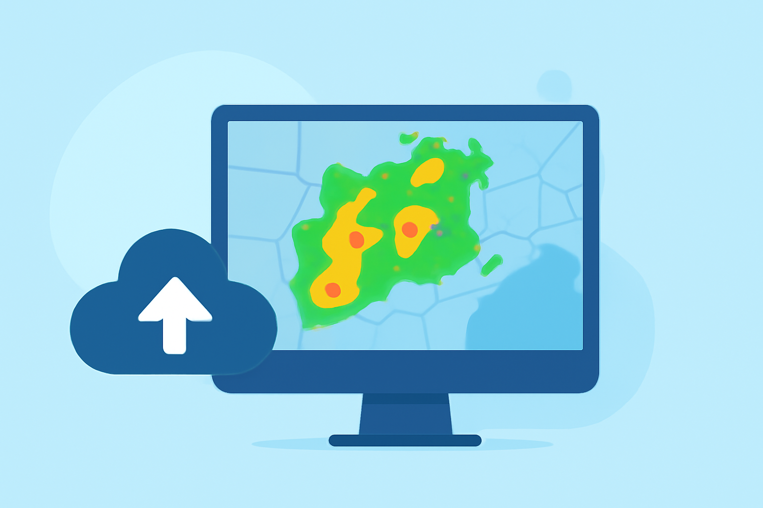
Composite reflectivity maps are essential tools for outdoor enthusiasts, offering real-time insights into weather patterns and precipitation. By understanding these maps, you can make informed decisions to ensure safety and enjoyment during your outdoor adventures.
What Are Composite Reflectivity Maps?
Composite reflectivity maps display the maximum reflectivity of precipitation within a vertical column of the atmosphere. This means they show the strongest echoes from precipitation, regardless of altitude, providing a comprehensive view of storm intensity and structure. These maps are particularly useful for identifying severe weather conditions, such as thunderstorms and heavy rainfall.
How Are Composite Reflectivity Maps Created?
Weather radars emit signals at various elevation angles, scanning the atmosphere to detect precipitation. The composite reflectivity map compiles the highest reflectivity values from these scans, creating a unified image that highlights the most intense precipitation areas. This method helps in understanding the vertical development of storms and their potential impact on the ground.
Why Are Composite Reflectivity Maps Important for Outdoor Activities?
For outdoor enthusiasts, these maps are invaluable for several reasons:
-
Real-Time Weather Monitoring: They provide up-to-date information on precipitation, allowing you to anticipate and prepare for changing weather conditions.
-
Safety Planning: By identifying areas of intense precipitation, you can avoid regions prone to severe weather, reducing the risk of exposure to hazardous conditions.
-
Event Scheduling: Understanding precipitation patterns helps in planning outdoor events, ensuring they occur during favorable weather windows.
How to Access Composite Reflectivity Maps?
Accessing composite reflectivity maps has become more user-friendly, thanks to advancements in technology. Many platforms now offer interactive maps that display real-time weather data, including composite reflectivity. These tools often come with features like zooming, layering, and time-lapse animations, enhancing the user experience.
Clime's Role in Providing Composite Reflectivity Maps
Clime offers an intuitive platform that delivers real-time composite reflectivity maps tailored for outdoor enthusiasts. With Clime, you can access high-resolution, up-to-date weather data, ensuring you have the most accurate information at your fingertips. The platform's user-friendly interface allows for easy navigation and interpretation of complex weather patterns, making it an indispensable tool for planning your outdoor activities.
Conclusion
Incorporating composite reflectivity maps into your outdoor planning equips you with critical insights into weather conditions, enhancing safety and enjoyment. Platforms like Clime provide accessible and reliable tools to help you stay informed and prepared for any weather scenario.