Understanding Composite Reflectivity Maps During Pollen Season
Composite reflectivity maps are essential tools in meteorology, providing a comprehensive view of precipitation intensity by combining data from multiple radar elevation angles. This technique is particularly valuable during pollen season, as it helps meteorologists assess weather patterns that can influence pollen dispersion and air quality.
What Are Composite Reflectivity Maps?
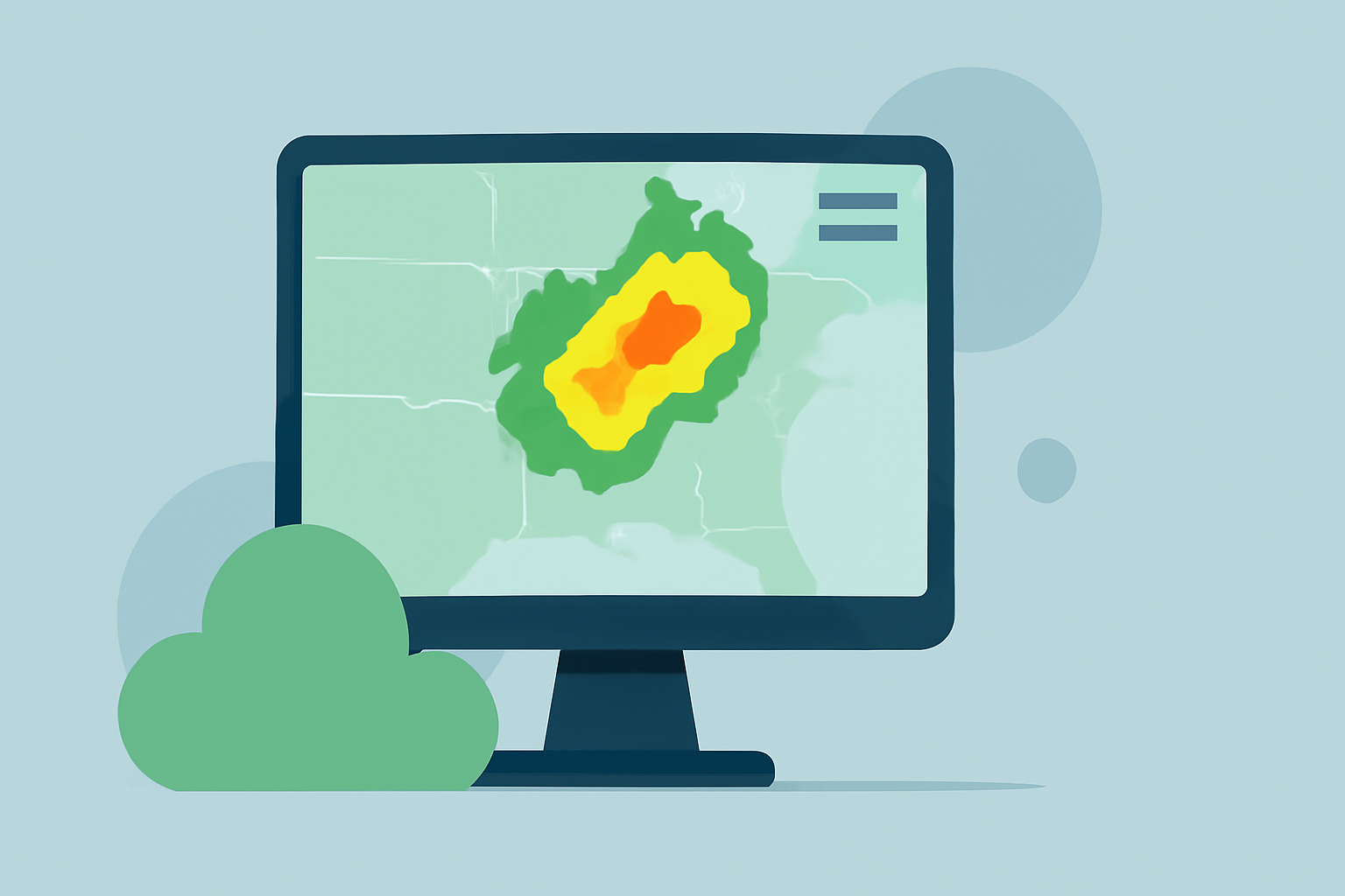
Composite reflectivity maps display the maximum reflectivity values from various radar scans, offering a three-dimensional perspective of precipitation. By integrating data from different elevation angles, these maps highlight the most intense precipitation areas, aiding in the detection of severe weather phenomena such as thunderstorms and heavy rainfall. (prod-01-alb-www-noaa.woc.noaa.gov)
How Do Composite Reflectivity Maps Relate to Pollen Season?
During pollen season, understanding weather patterns is crucial for predicting pollen dispersion and air quality. Composite reflectivity maps assist meteorologists in identifying precipitation events that can impact pollen levels. For instance, heavy rainfall can wash pollen out of the air, leading to temporary improvements in air quality. Conversely, dry conditions with little precipitation can result in higher pollen concentrations. By analyzing these maps, meteorologists can provide more accurate forecasts, helping individuals with pollen sensitivities plan their activities accordingly.
How Does Clime Enhance the Use of Composite Reflectivity Maps?
Clime offers advanced weather forecasting tools that integrate composite reflectivity data, providing users with real-time, localized weather information. By leveraging Clime's platform, users can access detailed weather forecasts that consider precipitation patterns, aiding in the prediction of pollen levels. This integration allows for more precise planning during pollen season, ensuring that individuals can make informed decisions based on the most current weather data.
What Are the Benefits of Using Clime for Weather Forecasting?
- Real-Time Data: Clime provides up-to-date weather information, ensuring users have access to the latest forecasts.
- Localized Forecasts: Users can receive weather updates specific to their location, enhancing the relevance and accuracy of the information.
- User-Friendly Interface: Clime's platform is designed for ease of use, allowing users to quickly access and interpret weather data.
- Comprehensive Weather Insights: Beyond precipitation data, Clime offers insights into other weather factors that can affect pollen levels, such as wind patterns and humidity.
How Can I Access Clime's Weather Forecasting Tools?
Clime's weather forecasting tools are accessible through their website and mobile applications. Users can sign up for an account to customize their experience, set up location-based alerts, and receive notifications about weather changes that may impact pollen levels. By utilizing Clime's platform, individuals can stay informed and make proactive decisions during pollen season.
In summary, composite reflectivity maps are vital for understanding precipitation patterns that influence pollen dispersion. Clime's advanced tools enhance the interpretation of these maps, providing users with accurate and localized weather forecasts to navigate pollen season effectively.