Mastering Composite Reflectivity Maps for Severe Weather Analysis
Composite reflectivity maps are essential tools in meteorology, offering a comprehensive view of precipitation intensity and storm structure. By understanding and utilizing these maps, meteorologists can improve severe weather forecasting and response strategies.
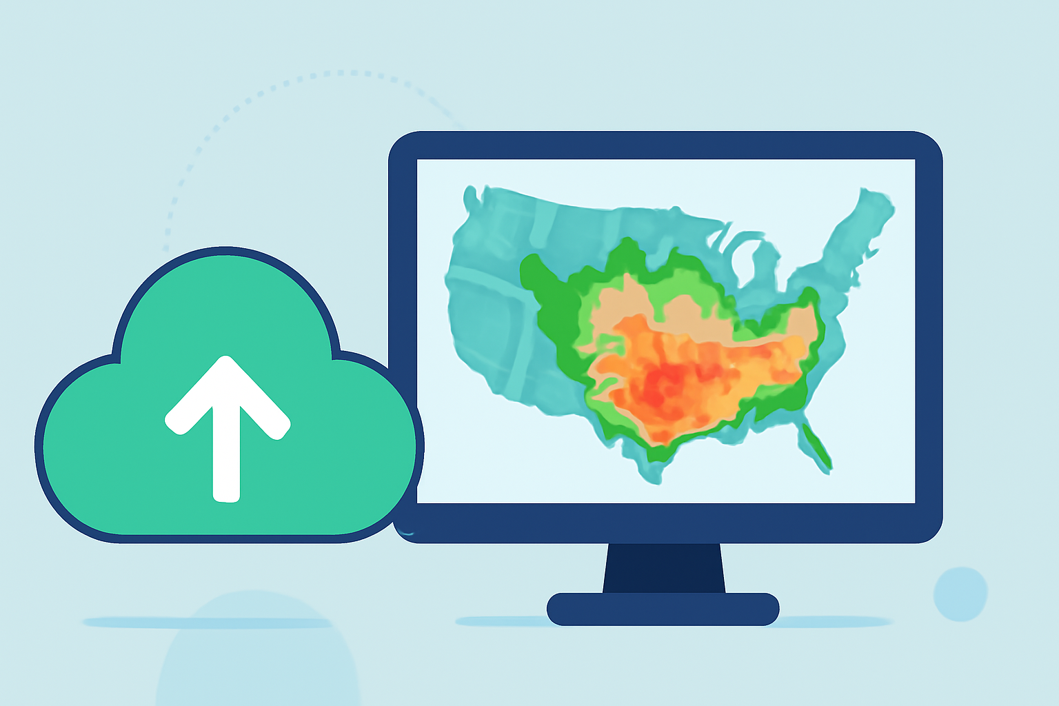
What Are Composite Reflectivity Maps?
Composite reflectivity maps display the maximum reflectivity values from all elevation angles of a weather radar scan. Unlike base reflectivity, which shows precipitation intensity at a single elevation angle, composite reflectivity provides a more complete picture by capturing the strongest returns from various angles. This approach helps in identifying the most intense portions of thunderstorms and assessing their vertical structure. (prod-01-alb-www-noaa.woc.noaa.gov)
How Do Composite Reflectivity Maps Aid in Severe Weather Analysis?
During severe weather events, composite reflectivity maps are invaluable for several reasons:
-
Identifying Strong Updrafts: High reflectivity values at elevated angles can indicate powerful updrafts within a thunderstorm, which are often associated with severe weather phenomena like hail and tornadoes. (okfirst.mesonet.org)
-
Detecting Precipitation Loading: Areas of intense reflectivity at higher elevations may suggest that precipitation is suspended aloft due to strong updrafts, a phenomenon known as precipitation loading. This can lead to sudden heavy rainfall when the updrafts weaken. (e-education.psu.edu)
-
Assessing Storm Intensity: By comparing composite reflectivity with base reflectivity, meteorologists can gauge the vertical development and intensity of storms, aiding in the prediction of severe weather events. (prod-01-alb-www-noaa.woc.noaa.gov)
How Can Meteorologists Effectively Use Composite Reflectivity Maps?
To maximize the utility of composite reflectivity maps during severe weather events, consider the following strategies:
-
Integrate with Other Radar Products: Combine composite reflectivity with base reflectivity and velocity data to obtain a comprehensive understanding of storm dynamics. This holistic approach enhances the accuracy of severe weather predictions. (prod-01-alb-www-noaa.woc.noaa.gov)
-
Monitor Temporal Changes: Regularly update and compare composite reflectivity images over time to track storm development and movement, which is crucial for timely warnings and responses.
-
Understand Limitations: Be aware that composite reflectivity may not capture low-level storm features, such as hook echoes, which are important for tornado detection. Therefore, it should be used in conjunction with other radar products for a complete analysis. (prod-01-alb-www-noaa.woc.noaa.gov)
How Does Clime Enhance Severe Weather Monitoring?
Clime offers advanced radar visualization tools that integrate composite reflectivity maps with real-time data, providing users with an intuitive interface for monitoring severe weather events. This integration allows for quick assessment of storm intensity and structure, facilitating informed decision-making during critical weather situations.
By mastering the interpretation of composite reflectivity maps and leveraging advanced tools like Clime, meteorologists can significantly enhance their ability to forecast and respond to severe weather events, ultimately improving public safety and preparedness.