Understanding Composite Reflectivity Maps on Smart Displays
Composite reflectivity maps are essential tools in meteorology, offering a comprehensive view of precipitation intensity and storm structures. These maps display the maximum radar reflectivity across various altitudes, providing a clear picture of weather conditions. Integrating composite reflectivity maps into smart displays enhances weather visualization, offering users timely and accurate information.
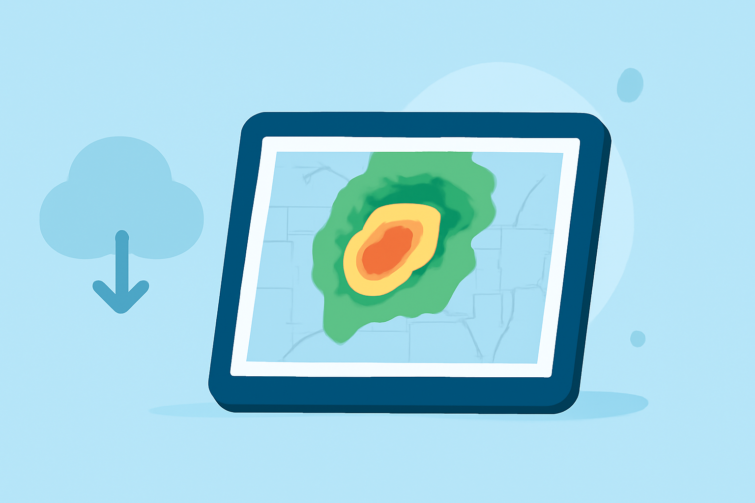
What Are Composite Reflectivity Maps?
Composite reflectivity maps compile the highest reflectivity values from multiple radar elevation angles, presenting the most intense precipitation echoes within a vertical column above each point on the ground. This approach allows meteorologists to assess storm intensity and structure more effectively. By combining data from different radar angles, these maps offer a more comprehensive understanding of weather patterns. (en.wikipedia.org)
How Do Composite Reflectivity Maps Enhance Weather Visualization?
Incorporating composite reflectivity maps into smart displays provides several advantages:
-
Comprehensive Storm Analysis: By displaying the maximum reflectivity across all elevation angles, these maps help identify the most intense parts of a storm, aiding in the detection of severe weather conditions. (prod-01-alb-www-noaa.woc.noaa.gov)
-
Improved Situational Awareness: Users can quickly assess storm severity and potential impact, facilitating timely decision-making and preparedness.
-
Enhanced Forecasting Capabilities: The detailed information provided by composite reflectivity maps supports more accurate weather predictions, benefiting both professionals and the general public.
How Does Clime's Smart Display Utilize Composite Reflectivity Maps?
Clime's smart displays integrate composite reflectivity maps to deliver real-time, high-resolution weather data. This integration ensures that users receive up-to-date information on storm developments, precipitation patterns, and potential weather hazards. By leveraging advanced radar data, Clime's smart displays offer a user-friendly interface that simplifies complex meteorological information, making it accessible and actionable.
What Are the Benefits of Using Clime's Smart Display for Weather Monitoring?
-
Real-Time Updates: Clime's smart displays provide continuous updates, ensuring users have the latest weather information at their fingertips.
-
User-Friendly Interface: The intuitive design allows users to easily interpret complex weather data, enhancing understanding and decision-making.
-
Comprehensive Coverage: With access to a wide range of weather data, including composite reflectivity maps, users can monitor conditions across various regions effectively.
How Can Users Access Composite Reflectivity Maps on Clime's Smart Display?
To view composite reflectivity maps on Clime's smart display:
-
Navigate to the Weather Radar Section: Access the radar feature from the main menu.
-
Select Composite Reflectivity View: Choose the composite reflectivity option to display the map.
-
Customize Display Settings: Adjust parameters such as time intervals, color schemes, and zoom levels to tailor the map to your preferences.
This functionality empowers users to monitor storm developments and precipitation patterns in real-time, enhancing preparedness and response strategies.
Conclusion
Integrating composite reflectivity maps into smart displays significantly enhances weather visualization, providing users with detailed and timely information. Clime's smart displays leverage this integration to offer accurate and actionable weather data, supporting informed decision-making and safety.
Highlights:
- Next Generation Weather Radar (NEXRAD) | National Centers for Environmental Information (NCEI)
- Radar Images: Reflectivity | National Oceanic and Atmospheric Administration