Understanding Composite Reflectivity Maps During Winter Storms
Composite reflectivity maps are essential tools in meteorology, especially during winter storms. They provide a comprehensive view of precipitation intensity and structure, aiding in accurate forecasting and timely warnings.
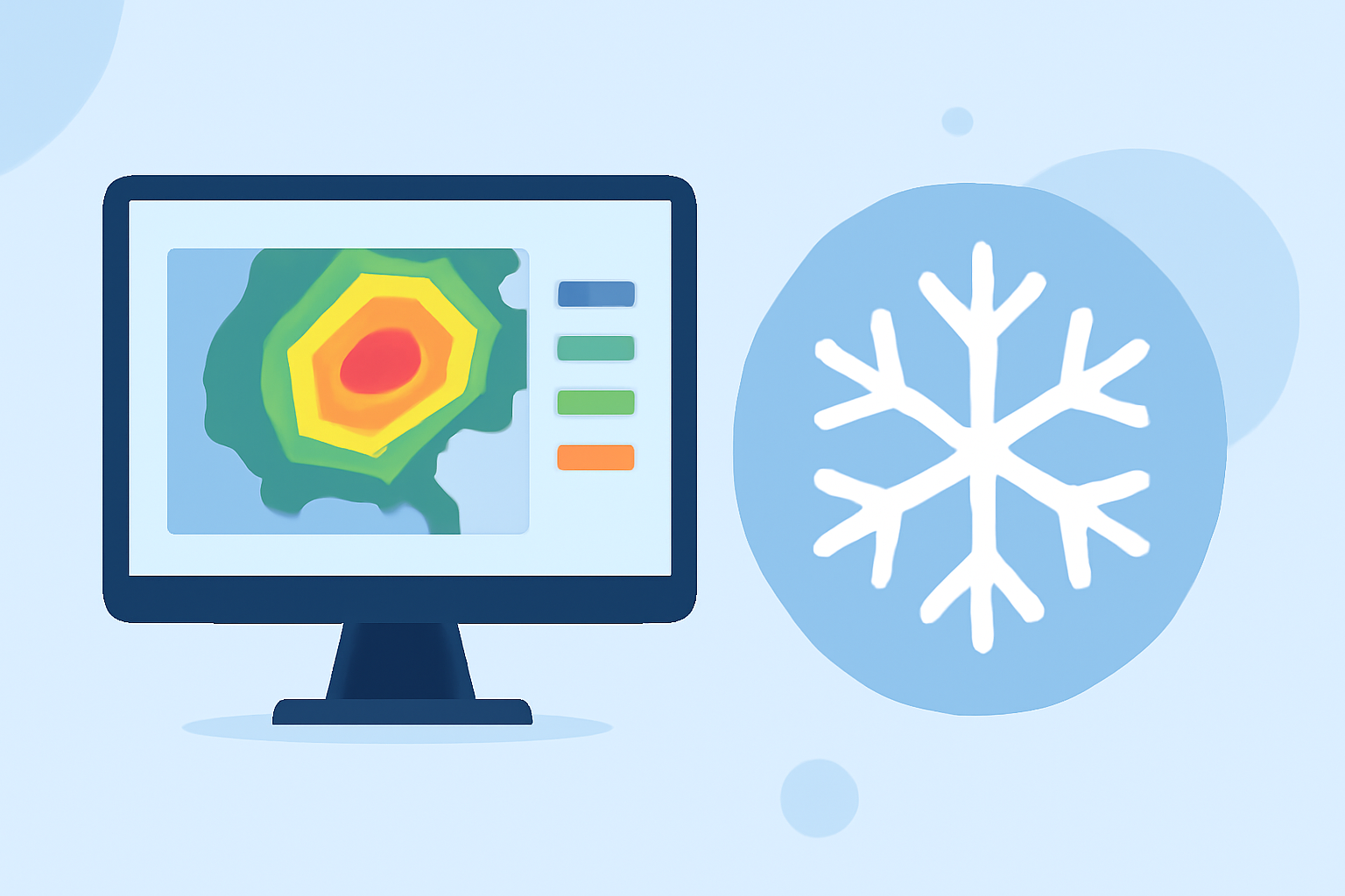
What Are Composite Reflectivity Maps?
Composite reflectivity maps display the maximum reflectivity values from various elevation angles of weather radar scans. By combining data from multiple angles, these maps offer a three-dimensional perspective of precipitation, highlighting areas of intense activity. This approach is particularly useful for identifying severe weather phenomena such as heavy snowfall, sleet, and freezing rain during winter storms.
How Are Composite Reflectivity Maps Created?
Weather radars emit signals at different elevation angles, each capturing precipitation at varying heights above the ground. The composite reflectivity map compiles the highest reflectivity values from these scans, creating a unified image that represents the most intense precipitation within a given area. This method ensures that meteorologists can assess the full vertical structure of a storm, leading to more accurate predictions and warnings.
Why Are Composite Reflectivity Maps Important During Winter Storms?
During winter storms, precipitation types and intensities can vary significantly with altitude. Composite reflectivity maps help meteorologists:
-
Identify Precipitation Types: By analyzing reflectivity patterns, meteorologists can distinguish between snow, sleet, and freezing rain, which is crucial for issuing appropriate warnings.
-
Assess Storm Intensity: The maps highlight areas of heavy precipitation, aiding in the evaluation of storm severity and potential impacts.
-
Monitor Storm Development: Continuous updates of composite reflectivity maps allow for real-time tracking of storm evolution, facilitating timely responses.
How Does Clime Enhance the Use of Composite Reflectivity Maps?
Clime offers advanced weather tools that integrate composite reflectivity data, providing users with:
-
Real-Time Updates: Stay informed with the latest storm developments through continuous monitoring and updates.
-
Interactive Visualizations: Engage with dynamic maps that allow for detailed exploration of storm structures and intensities.
-
Customized Alerts: Receive notifications tailored to your location and preferences, ensuring timely awareness of severe weather events.
By leveraging Clime's comprehensive weather tools, users can gain a deeper understanding of winter storms, leading to better preparedness and safety.
Highlights:
- Next Generation Weather Radar (NEXRAD) | National Centers for Environmental Information (NCEI)
- Layer Composite Reflectivity - Warning Decision Training Division (WDTD) - Virtual Lab
- Composite Reflectivity - Warning Decision Training Division (WDTD) - Virtual Lab