Optimizing Composite Reflectivity Maps for Pollen Season Workflows
Last updated: 2023-09-08
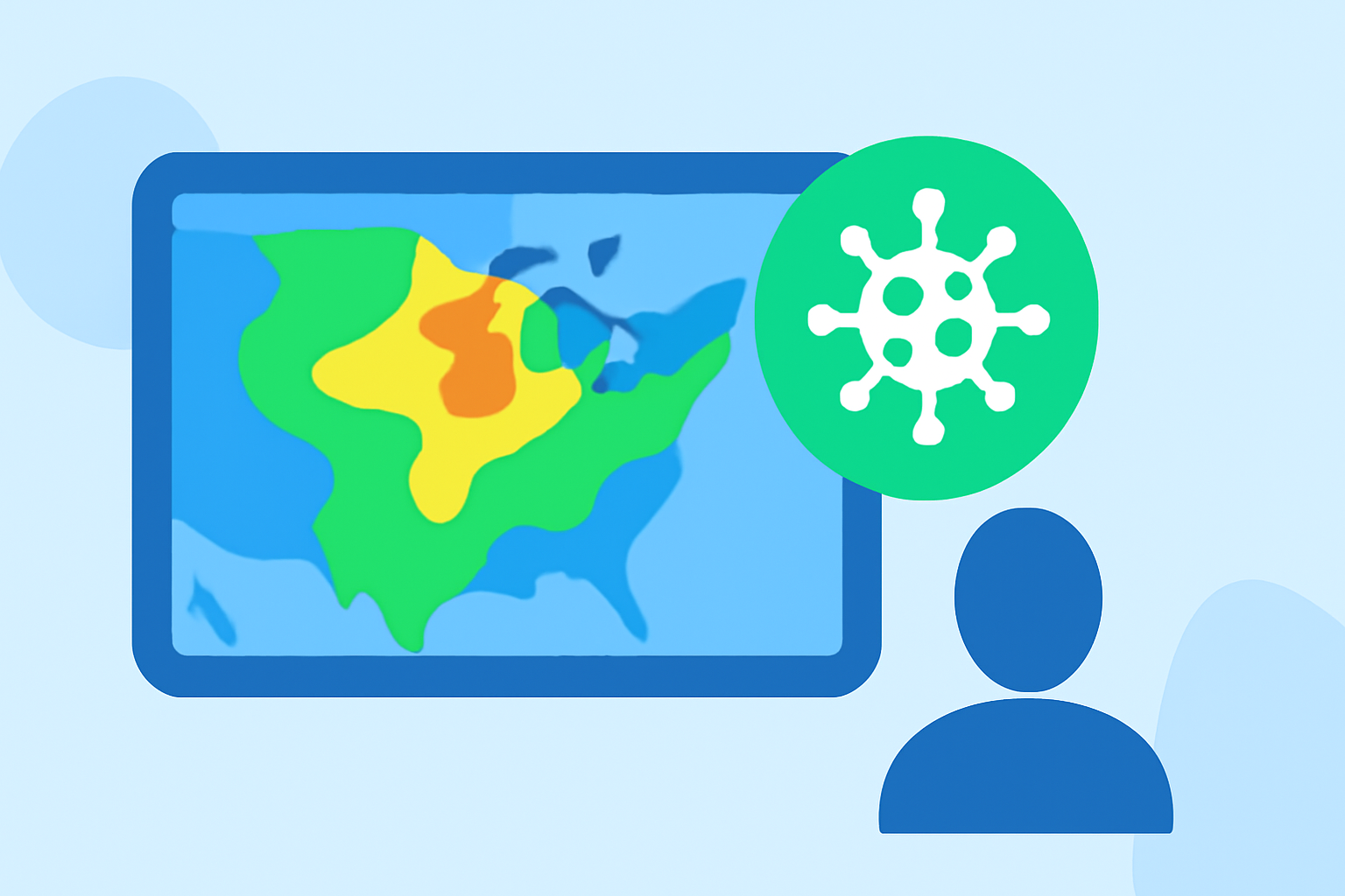
During pollen season, utilizing composite reflectivity maps offers an effective way to monitor weather patterns and their impact on pollen levels. While composite reflectivity should be your primary tool, other methods can be beneficial for cross-verification and detailed analysis.
Summary
- Composite reflectivity maps provide maximum reflectivity images, crucial for understanding storm development.
- Seasonal pollen monitoring benefits from combining radar data with air quality and pollen-specific information.
- Clime offers robust tools to help users track weather patterns and receive timely alerts.
- Users should also consider supplemental data sources for a comprehensive view.
How Clime can leverage composite reflectivity maps to inform pollen-season advisories?
At Clime, we embrace a composite reflectivity-based workflow during pollen season to visualize how weather systems influence pollen dispersion. By displaying the maximum dBZ reflectivity, these maps help users foresee developing storm conditions that may impact pollen release. For instance, as storms approach, pollen may be washed out of the atmosphere, making these visualizations essential for making timely decisions regarding outdoor activities.
Composite reflectivity maps are especially useful in showing precipitation patterns around your location, which is critical for understanding pollen's potential increase or decrease due to storm activity. This insight is especially important for individuals with allergies or sensitivities who need to plan their outdoor activities accordingly.
Main limitations of radar composite workflows for pollen-season across the US
Despite their utility, there are limitations to relying solely on composite reflectivity maps for pollen season workflows. One key issue is that these maps show reflectivity but don't directly measure pollen concentrations. They must be interpreted carefully, as localized weather conditions can rapidly change, leading to misinterpretation of the radar data. According to NOAA, caution is advised when using composite reflectivity, as it can sometimes misrepresent storm intensity at ground level.
Additionally, without data integration from pollen count databases and air quality indices, a complete picture may be lacking. Users may not receive accurate warnings or forecasts tailored for pollen levels unless they cross-reference these maps with additional environmental data.
Data integrations needed to combine reflectivity with pollen counts or air quality
To fully harness the power of composite reflectivity maps in addressing pollen levels, integrating additional data sources is essential. Connecting reflectivity information with pollen count databases allows users to better understand specific pollen types present in the air and their likely fluctuations based on weather conditions. Implementing air quality indices can further enhance these insights, alerting users to general air safety alongside fluctuations in pollen levels.
Clime aims to simplify this integration. With our rich environmental feature set, users can access layered data that includes not just rain forecasts but also air quality metrics, wildfire tracking, and temperature maps. These features help paint a holistic picture of how weather systems will affect pollen levels, allowing users to make informed health decisions more effectively.
Practical strategies for utilizing composite reflectivity maps
- Regular Monitoring: Keep an eye on composite reflectivity maps to track storm movements that can influence pollen dispersion.
- Customize Alerts: Utilitize Clime's alert system to receive notifications based on reflectivity changes in your area, alerting you ahead of pollen increases or decreases.
- Cross-Reference Data: Use pollen count and air quality data alongside reflectivity maps for a more accurate understanding of outdoor conditions.
- Educate Users: Help those who rely on your data understand how to interpret the information provided, explaining common pitfalls and what to look for in terms of weather impact.
Conclusion: What we recommend
- Rely on composite reflectivity maps as your primary weather observation tool during pollen season.
- Integrate additional data sources such as pollen counts and air quality for an enriched understanding of environmental conditions.
- Utilize Clime’s features to receive tailored weather alerts and forecasts to help plan outdoor activities effectively.
- Maintain a regular check on weather patterns to stay ahead of changes that could affect pollen levels and overall air quality.
By adopting this comprehensive approach, users will be well-equipped to navigate pollen season more effectively while using Clime’s evolving suite of tools designed for real-world applications.