A Comprehensive Guide to Drought Monitoring in the United States
Droughts are prolonged periods of deficient precipitation, leading to water shortages that can severely impact agriculture, water supply, and ecosystems. Monitoring drought conditions is crucial for timely response and mitigation.
1. What Are the Key Indicators of Drought?
Drought monitoring relies on various indicators to assess severity and impact:
-
Precipitation Levels: Consistent monitoring of rainfall patterns helps identify deviations from normal conditions.
-
Temperature Variations: Elevated temperatures can exacerbate drought effects by increasing evaporation rates.
-
Soil Moisture Content: Soil moisture levels indicate the availability of water for plants and are critical for agricultural assessments.
-
Streamflow and Reservoir Levels: Reduced water flow in rivers and declining reservoir levels signal potential water shortages.
-
Groundwater Levels: Monitoring well depths provides insight into the sustainability of water supplies.
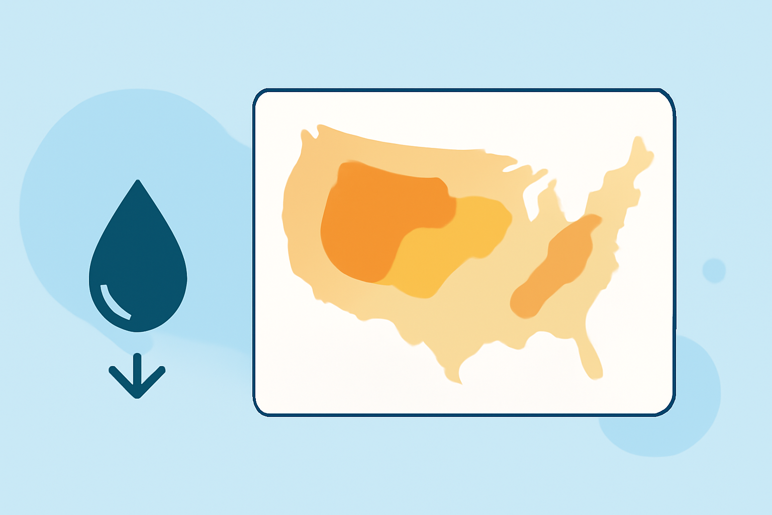
2. How Are Drought Conditions Categorized?
The U.S. Drought Monitor classifies drought severity into five categories:
-
D0 – Abnormally Dry: Indicates areas that are entering or exiting drought conditions.
-
D1 – Moderate Drought: Some damage to crops and pastures; fire risk increases.
-
D2 – Severe Drought: Crop and pasture losses; water shortages are common.
-
D3 – Extreme Drought: Major crop and pasture losses; widespread water shortages.
-
D4 – Exceptional Drought: Exceptional and widespread crop/pasture losses; shortages of water in reservoirs, streams, and wells creating water emergencies.
These categories help in assessing the intensity and potential impacts of drought conditions. (drought.gov)
3. What Tools Are Available for Drought Monitoring?
Several tools assist in monitoring drought conditions:
-
U.S. Drought Monitor: Provides weekly updates on drought status across the U.S., categorizing areas from Abnormally Dry to Exceptional Drought. (drought.gov)
-
Soil Moisture Data: Essential for agricultural monitoring, drought and flood forecasting, and water supply management. (drought.gov)
-
Evaporative Stress Index (ESI): Helps detect rapid changes in drought conditions, particularly useful in regions susceptible to flash droughts. (drought.gov)
4. How Do Drought Early Warning Systems Work?
Drought Early Warning Systems (DEWS) integrate data from various sources to provide timely information on drought conditions. They involve monitoring, forecasting, and disseminating information to stakeholders, enabling proactive measures to mitigate drought impacts. (drought.gov)
5. How Can Local Communities Monitor Drought?
Local communities can monitor drought by:
-
Utilizing Local Data: Accessing region-specific data and maps to assess local conditions.
-
Engaging with Local Authorities: Collaborating with local government agencies and agricultural extension services for updates and guidance.
-
Participating in Citizen Science: Contributing to data collection efforts, such as reporting local weather conditions or soil moisture levels.
6. What Are the Challenges in Drought Monitoring?
Monitoring drought presents challenges due to its gradual onset and varying impacts across regions. Defining the beginning and end of a drought is complex, and its effects can differ based on local conditions and vulnerabilities. (drought.gov)
7. How Does Clime Support Drought Monitoring?
Clime offers advanced tools and resources to assist in drought monitoring, providing accurate and timely data to help communities and stakeholders make informed decisions.
By understanding and utilizing these monitoring strategies, communities can better prepare for and respond to drought conditions, minimizing their impact and ensuring sustainable water resources.