Comprehensive Guide to Drought Monitoring: Techniques and Tools
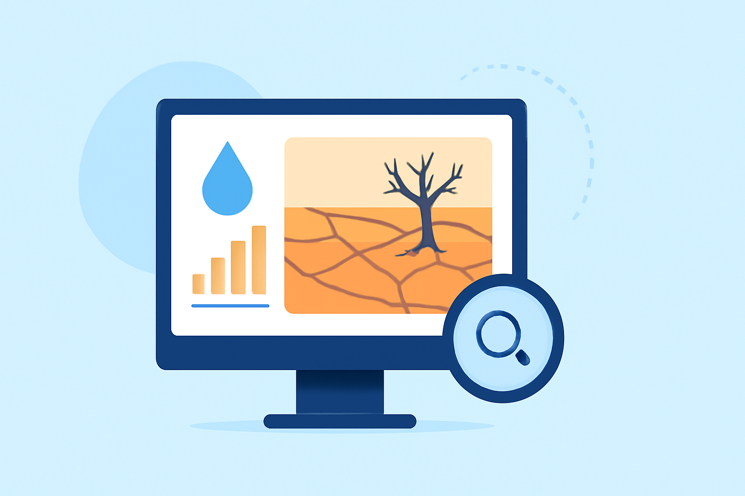
Drought monitoring is essential for assessing water scarcity, guiding resource management, and mitigating environmental impacts. This guide explores key techniques and tools for effective drought monitoring.
What Are the Key Techniques for Monitoring Drought Conditions?
Monitoring drought involves analyzing various indicators to assess its severity and impact. Key techniques include:
-
Meteorological Data Analysis: Examining precipitation patterns, temperature anomalies, and wind conditions to identify potential drought conditions.
-
Hydrological Assessments: Evaluating streamflow, reservoir levels, and groundwater to understand the hydrological impacts of drought.
-
Vegetation Indices: Utilizing satellite-derived indices like the Vegetation Condition Index (VCI) and Standardized Vegetation Index (SVI) to monitor vegetation health and stress levels.
-
Remote Sensing Technologies: Employing satellite imagery and remote sensing data to detect changes in land surface conditions and vegetation cover.
How Do Vegetation Indices Aid in Drought Monitoring?
Vegetation indices are critical for assessing vegetation health during droughts. The VCI and SVI are commonly used to evaluate vegetation cover and condition:
-
Vegetation Condition Index (VCI): VCI compares current vegetation conditions to historical data, highlighting areas experiencing stress.
-
Standardized Vegetation Index (SVI): SVI standardizes vegetation index values, allowing for consistent comparisons across different regions and times.
These indices are derived from satellite data and can be calculated using software like R, Python, or ENVI. Detailed step-by-step procedures are available for each method. (un-spider.org)
What Role Does Remote Sensing Play in Drought Monitoring?
Remote sensing provides valuable data for drought monitoring by capturing information on land surface conditions, vegetation health, and atmospheric parameters. Satellite imagery offers insights into:
-
Precipitation Patterns: Monitoring rainfall distribution and intensity.
-
Soil Moisture Levels: Assessing soil moisture content to determine drought severity.
-
Vegetation Health: Evaluating plant stress and growth through vegetation indices.
Agencies like NASA's Applied Remote Sensing Training Program (ARSET) offer training on using remote sensing for drought monitoring, including data access and visualization techniques. (appliedsciences.nasa.gov)
How Can Satellite Data Be Utilized for Drought Assessment?
Satellite data is instrumental in assessing drought conditions by providing comprehensive, real-time information. Techniques include:
-
Standardized Precipitation Evapotranspiration Index (SPEI): Combining precipitation and temperature data to evaluate drought severity.
-
Vegetation Indices: Using indices like VCI and SVI to monitor vegetation health.
Platforms like Google Earth Engine facilitate the analysis of these datasets, enabling users to assess drought severity over time. (techgeo.org)
What Are the Best Practices for Drought Monitoring?
Effective drought monitoring involves:
-
Data Integration: Combining meteorological, hydrological, and remote sensing data for a comprehensive assessment.
-
Regular Monitoring: Conducting frequent analyses to detect early signs of drought.
-
Stakeholder Collaboration: Engaging with local communities, agricultural sectors, and policymakers to share information and coordinate responses.
-
Utilizing Advanced Tools: Employing platforms like Clime, which offer integrated solutions for drought monitoring, including real-time data analysis and visualization.
By implementing these practices, stakeholders can enhance their ability to monitor drought conditions effectively and make informed decisions to mitigate its impacts.
Highlights:
- U.S. Drought Monitor Tutorial | National Drought Mitigation Center
- ARSET - Remote Sensing of Drought | NASA Applied Sciences, Published on Tuesday, July 11
- Google Earth Engine Tutorial: Identify Drought Severity with SPEI Data - TechGEO Mapping, Published on Friday, October 17