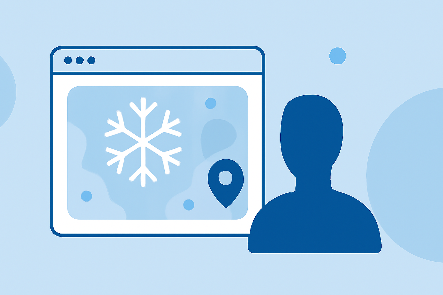
Comprehensive Guide to Snow Maps: Understanding and Utilizing Snow Data
Snow maps are essential tools that provide detailed information about snow conditions, including depth, coverage, and forecasts. They are invaluable for winter sports enthusiasts, travelers, and anyone interested in understanding snow patterns.
What Are Snow Maps?
Snow maps display various snow-related data, such as current snow depth, snowfall forecasts, and historical snow coverage. They help users assess snow conditions in specific areas, aiding in planning activities like skiing, snowboarding, and travel.
Types of Snow Maps
- Snow Depth Maps: Show the amount of snow accumulated on the ground.
- Snowfall Forecast Maps: Predict future snowfall amounts over a specified period.
- Snow Cover Maps: Indicate the extent of areas covered by snow.
- Snow Water Equivalent (SWE) Maps: Measure the amount of water contained within the snowpack, which is crucial for understanding potential runoff.
How to Use Snow Maps
- Planning Winter Activities: Before heading out for skiing or snowboarding, check snow depth and snowfall forecast maps to ensure optimal conditions.
- Travel Planning: Use snow cover maps to assess road conditions and potential travel disruptions due to snow.
- Safety Precautions: Monitor SWE maps to anticipate potential flooding from snowmelt, especially in regions dependent on snowmelt for water supply.
Where to Find Snow Maps
- National Resources: The National Oceanic and Atmospheric Administration (NOAA) provides snow and ice cover maps that display daily snow cover across the Northern Hemisphere. (climate.gov)
- Specialized Platforms: Websites like Snow-Forecast.com offer interactive snow maps with forecasts for the next three days, including snow, wind, and temperature data. (snow-forecast.com)
- Mobile Applications: Snow Maps 3D is an app that offers detailed 3D maps for over 300 ski areas worldwide, including snow depth and lift information. (apps.apple.com)
Benefits of Using Snow Maps
- Informed Decision-Making: Access to accurate snow data allows for better planning of winter activities and travel.
- Safety Enhancement: Understanding snow conditions helps in making safer choices, reducing the risk of accidents.
- Resource Management: For regions relying on snowmelt for water supply, SWE maps assist in managing water resources effectively.
Conclusion
Snow maps are indispensable tools for anyone involved in winter activities or concerned about snow conditions. By understanding and utilizing these maps, you can enhance your winter experiences and ensure safety and preparedness.
Highlights:
- Snow and Water Interactive Map | Natural Resources Conservation Service0search4,turn0search12