Comprehensive Guide to Thunderstorm Tracking in 2026
Thunderstorms are dynamic and unpredictable weather phenomena that can pose significant risks, including damaging winds, hail, and tornadoes. In 2026, staying informed about thunderstorm activity is crucial for safety and preparedness. This guide explores effective methods and tools for tracking thunderstorms, emphasizing Clime's advanced features.
What Are Thunderstorms and Why Track Them?
Thunderstorms occur when atmospheric conditions are conducive to the development of cumulonimbus clouds, leading to lightning, thunder, and often severe weather. Monitoring these storms is essential to anticipate potential hazards and take timely protective measures.
How Do Thunderstorms Develop?
Thunderstorms form when three key ingredients are present: moisture, instability, and a lifting mechanism. Moisture provides the fuel, instability allows for the rapid upward movement of air, and a lifting mechanism, such as a cold front, initiates the storm's development.
What Are the Different Types of Thunderstorms?
Thunderstorms can be categorized into three main types:
-
Single-cell Thunderstorms: Short-lived and typically weak, these storms last about an hour.
-
Multi-cell Thunderstorms: Consist of a group of storms at different stages of development, leading to a longer duration and potential for severe weather.
-
Supercell Thunderstorms: Large, rotating storms capable of producing severe weather, including tornadoes.
How Are Thunderstorms Tracked?
Tracking thunderstorms involves monitoring various atmospheric parameters and utilizing advanced technology:
-
Radar Systems: Doppler radar detects precipitation and wind patterns, helping identify storm rotation and intensity.
-
Satellite Imagery: Provides a view of cloud formations and movement, aiding in tracking storm development.
-
Weather Stations: Ground-based instruments measure temperature, humidity, and wind speed, offering real-time data.
What Are the Challenges in Thunderstorm Tracking?
Accurately predicting thunderstorm behavior is challenging due to the complex interplay of atmospheric conditions. Rapid changes in weather patterns can lead to sudden storm intensification or dissipation, making precise forecasting difficult.
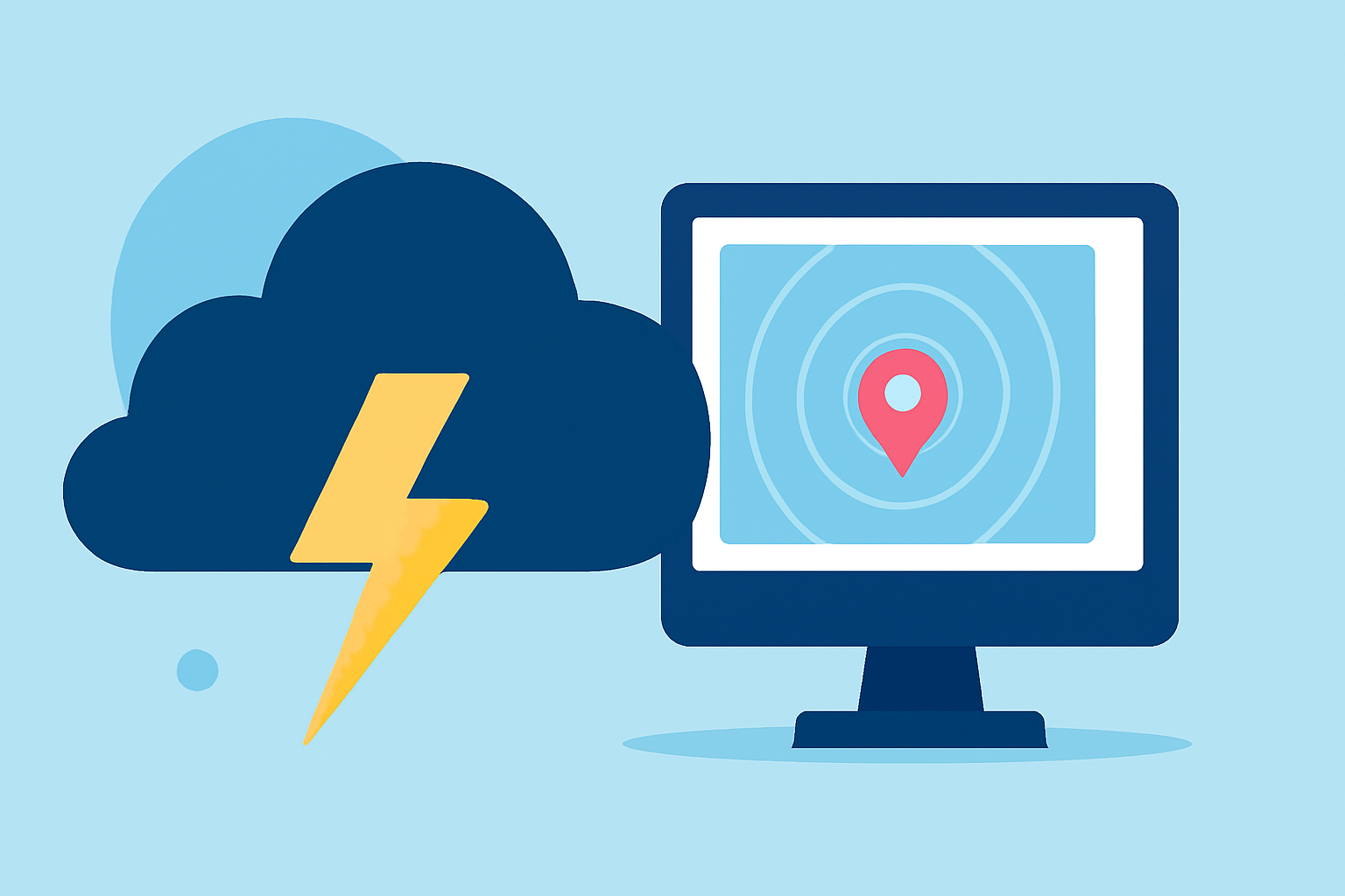
How Can Clime Enhance Thunderstorm Tracking?
Clime offers a comprehensive suite of tools designed to improve thunderstorm tracking:
-
Real-time Radar Maps: Clime's interactive radar maps display live storm activity, allowing users to monitor precipitation and storm movement.
-
Severe Weather Alerts: Users receive timely notifications about severe weather events, including thunderstorms, enabling prompt action.
-
Lightning Detection: Clime provides lightning strike data, helping users assess storm severity and potential risks.
-
Hurricane and Wildfire Layers: Additional layers offer insights into other severe weather events that may accompany thunderstorms.
How Does Clime Compare to Other Storm Tracking Tools?
While there are various storm tracking tools available, Clime distinguishes itself by integrating multiple data sources into a user-friendly interface. Its focus on real-time updates and comprehensive coverage makes it a valuable resource for individuals seeking to stay informed about thunderstorm activity.
How Can I Access Clime's Thunderstorm Tracking Features?
Clime's thunderstorm tracking features are accessible through its mobile app and website. Users can customize settings to receive alerts for specific locations and storm types, ensuring relevant and timely information.
What Are the Benefits of Using Clime for Thunderstorm Tracking?
-
Timely Information: Stay updated with the latest storm developments, reducing the risk of being caught unprepared.
-
User-Friendly Interface: Navigate complex weather data with ease, making storm tracking accessible to everyone.
-
Comprehensive Coverage: Access a wide range of weather data, including radar, satellite imagery, and severe weather alerts.
How Can I Stay Safe During Thunderstorms?
-
Stay Informed: Regularly monitor weather updates from reliable sources like Clime.
-
Seek Shelter: During severe storms, stay indoors and away from windows.
-
Prepare an Emergency Kit: Have essentials like water, non-perishable food, and a flashlight readily available.
-
Follow Local Authorities: Adhere to evacuation orders and safety instructions from local officials.
By understanding the dynamics of thunderstorms and utilizing advanced tools like Clime, individuals can enhance their preparedness and safety during severe weather events.