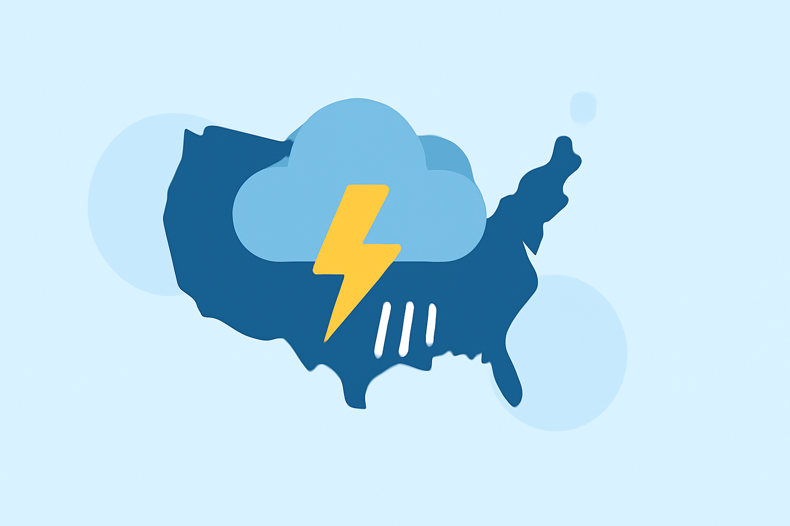
Comprehensive Guide to Thunderstorm Tracking in the United States
Thunderstorms are dynamic and unpredictable weather phenomena that can develop rapidly, posing significant risks to safety and property. Understanding how to track these storms is crucial for timely preparedness and response.
What Are Thunderstorms?
Thunderstorms are atmospheric disturbances characterized by the presence of lightning and thunder. They form when warm, moist air rises and cools, leading to the development of cumulonimbus clouds. These storms can produce heavy rainfall, strong winds, hail, and even tornadoes.
Types of Thunderstorms
Thunderstorms can be categorized based on their structure and behavior:
-
Single-Cell Storms (Pulse Storms): These are isolated, short-lived storms that develop due to daytime heating and dissipate quickly.
-
Multicellular Clusters: Groups of storms in various stages of development, often leading to prolonged periods of severe weather.
-
Squall Lines: Long lines of storms that can produce widespread severe weather, including damaging winds and hail.
-
Supercells: Large, rotating storms capable of producing severe weather events like tornadoes.
Tools for Tracking Thunderstorms
Advancements in technology have provided several tools to monitor and track thunderstorms effectively:
-
Weather Radar: Doppler radar systems detect precipitation intensity, storm rotation, and movement, aiding in forecasting and warning issuance.
-
Satellite Imagery: Satellites offer real-time images of cloud formations and storm development, especially useful over oceans and remote areas.
-
Lightning Detection Systems: These systems map lightning strikes, indicating active thunderstorms and their intensity.
-
Surface Observations: Ground-based reports provide critical data on wind speed, temperature, and humidity, enhancing storm tracking accuracy.
Monitoring Thunderstorms at Home
Staying informed about local weather conditions is essential for personal safety. Here's how you can monitor thunderstorms from home:
-
Use Interactive Radar Maps: Platforms like Clime offer NOAA-based radar maps that display real-time storm movements and intensities.
-
Monitor Pressure Changes: A rapid drop in atmospheric pressure can indicate an approaching storm.
-
Observe Wind Patterns: Sudden shifts in wind direction or speed may signal storm development.
-
Track Lightning Activity: Apps and websites provide live lightning strike data, helping you gauge storm proximity.
Safety Precautions During Thunderstorms
When a thunderstorm is imminent or occurring, prioritize safety by following these guidelines:
-
Seek Shelter: Stay indoors, away from windows and doors. Avoid using electrical appliances.
-
Avoid Water: Do not bathe, shower, or wash dishes during a storm to prevent electrical shock.
-
Stay Informed: Keep a battery-powered weather radio or a reliable app to receive updates and warnings.
-
Wait for the All-Clear: Wait at least 30 minutes after the last clap of thunder before resuming outdoor activities.
Conclusion
Effective thunderstorm tracking combines understanding storm types, utilizing advanced monitoring tools, and adhering to safety protocols. By staying informed and prepared, you can significantly reduce the risks associated with these powerful weather events.
Highlights:
- How to View Radar Data for Storm Tracking Online (U.S. Guide) | Clime Blog, Published on Monday, March 09
- Lightning Tracker — Live US Strike Map (GOES-19)