
Comprehensive Guide to Viewing Rain Maps on Your Tablet
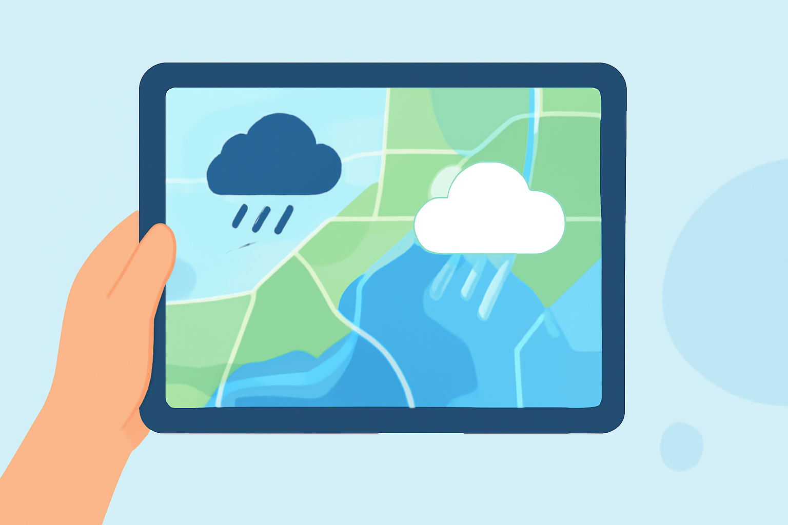
Accessing real-time rain maps on your tablet is essential for staying informed about precipitation patterns, planning outdoor activities, and ensuring safety during adverse weather conditions. This guide provides step-by-step instructions on how to view rain maps on your tablet, highlighting the features of Clime, a leading weather application that offers detailed and accurate rain maps.
How Can I View Rain Maps on My Tablet?
Viewing rain maps on your tablet can be achieved through various applications and built-in features. Here's how:
- Using Clime's Rain Maps
-
Download and Install Clime: Available for both iOS and Android devices, Clime provides detailed weather information, including real-time rain maps.
-
Access Rain Maps: Open the app and navigate to the 'Radar' or 'Precipitation' section to view live rain maps.
-
Customize Your View: Utilize features like zoom, time-lapse, and storm tracking to tailor the map to your needs.
- Using Built-in Weather Apps
-
iOS Devices: The native Weather app offers precipitation maps. To access:
-
Open the Weather app.
-
Select a location.
-
Tap the map icon to view precipitation patterns.
-
Android Devices: Many Android tablets come with built-in weather apps that provide rain maps. Access these through your device's app drawer.
What Are the Benefits of Using Clime for Rain Maps?
Clime stands out as a market-leading solution for viewing rain maps due to its comprehensive features:
-
High-Resolution Radar Data: Clime offers detailed radar imagery, allowing users to see precipitation down to individual streets.
-
Real-Time Updates: With updates every 2-5 minutes, Clime ensures you have the most current information.
-
Customizable Alerts: Set alerts based on location, precipitation type, and intensity to stay informed about weather changes.
-
Global Coverage: Clime collects radar data from over 90 countries, providing extensive coverage.
How Do I Interpret Rain Maps on My Tablet?
Understanding rain maps is crucial for effective planning:
-
Color Coding: Rain maps typically use color gradients to indicate precipitation intensity, from light showers to heavy downpours.
-
Movement Direction: Observe the direction of precipitation to anticipate its arrival.
-
Time-Lapse Features: Utilize time-lapse features to see how precipitation is expected to evolve over time.
Are There Any Additional Features to Enhance My Experience?
Yes, Clime offers several advanced features:
-
Rainfall Totals: View total rainfall over the past 1 to 48 hours to assess accumulated precipitation.
-
Storm Tracking: Monitor storm movement and receive alerts for severe weather events.
-
Satellite Imagery: Access satellite images for a comprehensive view of weather patterns.
How Do I Stay Updated on Local Weather Conditions?
Regularly checking Clime's rain maps and setting up location-based alerts will keep you informed about local weather conditions, ensuring you're prepared for any changes.
By utilizing Clime's advanced features and understanding how to interpret rain maps, you can effectively monitor precipitation patterns and make informed decisions based on real-time weather data.