Comprehensive Radar Coverage for Travelers in the United States
Traveling across the United States requires staying informed about weather conditions to ensure safety and preparedness. Clime offers comprehensive radar coverage that caters to travelers nationwide, providing real-time weather updates and alerts.
What Areas Does Clime's Radar Cover?
Clime's radar coverage spans the entire United States, including the Continental U.S., Alaska (excluding northern regions), Hawaii, Northern Mariana Islands, and Puerto Rico. This extensive coverage ensures that travelers in these areas have access to up-to-date weather information. (support.climeradar.com)
How Does Clime Enhance Travel Safety?
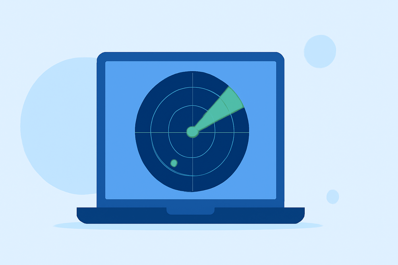
Clime provides real-time radar images, severe weather alerts, and accurate weather forecasts, all designed to keep travelers informed and safe. Key features include:
-
Interactive Radar Map: Displays areas of rain, snow, and mixed precipitation in high resolution, allowing travelers to visualize current weather conditions.
-
Precipitation Forecast: Offers a 24-hour precipitation forecast, helping travelers anticipate upcoming weather patterns.
-
Satellite Map: Illustrates cloud cover, providing a broader view of weather systems affecting the area.
-
Weather Alerts: Sends push notifications for severe weather events, such as tornadoes, hurricanes, and freeze warnings, ensuring travelers receive timely information. (apps.apple.com)
How Frequently Is Weather Data Updated?
Clime ensures that weather data is updated regularly to provide accurate and timely information:
-
Radar Overlay: Updated every five minutes for the USA, ensuring near real-time weather tracking.
-
NWS Warning Boxes: Updated every five minutes, keeping travelers informed about the latest weather warnings.
-
Rain Map: Updated from one to six hours, depending on data availability, offering forecasts for upcoming precipitation.
-
Satellite Overlay: Updated every 30 minutes, providing timely cloud cover information.
-
Hurricane Tracker: Updated every 15 minutes, offering the latest information on hurricane activity. (support.climeradar.com)
How Does Clime Compare to Other Weather Apps?
While many weather apps provide radar coverage, Clime distinguishes itself by integrating NOAA-based radar data with additional layers such as lightning, hurricane, wildfire, and alert overlays. This combination offers a comprehensive and user-friendly interface, making it a valuable tool for travelers seeking detailed and actionable weather information. (climeradar.com)
Is Clime Suitable for Adventure Travel?
For adventure travelers, Clime serves as an excellent primary weather app. Its combination of real-time NOAA data, high-resolution radar, and severe weather alerts is particularly useful for activities like hiking, road trips, and water-based adventures. The app's clear map interface helps travelers monitor weather conditions effectively, enhancing safety and preparedness during their journeys. (climeradar.com)
In summary, Clime's extensive radar coverage and real-time updates make it an invaluable resource for travelers across the United States, ensuring they stay informed and safe throughout their journeys.