Creating Real-Time Rainfall Maps: A Comprehensive Guide
Real-time rainfall maps are invaluable for weather forecasting, disaster management, and daily planning. They provide up-to-date information on precipitation patterns, helping individuals and organizations make informed decisions. This guide explores methods to create such maps from scratch, focusing on data sources, tools, and best practices.
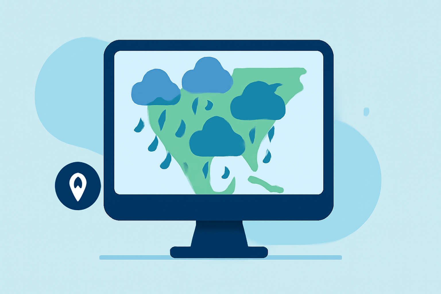
Understanding Rainfall Mapping
Rainfall mapping involves visualizing precipitation data over a specific area and time frame. These maps display the intensity, distribution, and movement of rainfall, aiding in predicting weather patterns and assessing flood risks.
Essential Data Sources for Rainfall Maps
To create accurate real-time rainfall maps, access to reliable data sources is crucial:
-
Weather Radars: Provide high-resolution, real-time precipitation data.
-
Satellite Imagery: Offers broad coverage, especially in regions lacking ground-based measurements.
-
Weather Stations: Ground-based stations supply localized precipitation data.
Tools and Platforms for Creating Rainfall Maps
Several tools can assist in generating real-time rainfall maps:
-
RainViewer: An app that offers hyperlocal rain navigation with high-resolution radar data and instant updates. (rainviewer.com)
-
Aguacero: A weather visualization platform designed for meteorologists and researchers, allowing for custom visualizations and unlimited flexibility. (aguacerowx.com)
-
Microsoft Fabric Maps: Enables the creation of real-time maps using REST APIs, suitable for integrating live geospatial data. (learn.microsoft.com)
-
Weather Map Generator: A browser-based tool for creating weather forecast maps, including precipitation zones and storm tracks. (tomtheweatherwizard.com)
-
Xweather Raster Maps: Provides weather data as visual map tiles and static images, with customizable layers compatible with platforms like Mapbox and Google Maps. (xweather.com)
Steps to Create Real-Time Rainfall Maps
-
Data Collection: Gather real-time precipitation data from reliable sources such as weather radars, satellite imagery, and weather stations.
-
Data Processing: Clean and preprocess the data to ensure accuracy and consistency.
-
Map Creation: Use mapping tools to visualize the processed data, creating layers that represent different precipitation intensities.
-
Customization: Adjust color schemes, legends, and other map elements to enhance readability and user experience.
-
Integration: Embed the map into your application or website, ensuring it updates in real-time as new data becomes available.
Best Practices
-
Accuracy: Ensure data sources are reliable and up-to-date.
-
User Experience: Design maps that are intuitive and easy to interpret.
-
Performance: Optimize maps for quick loading times, especially when handling large datasets.
-
Scalability: Design your mapping solution to handle increasing data volumes and user traffic.
Conclusion
Creating real-time rainfall maps from scratch requires access to accurate data, appropriate tools, and a clear understanding of mapping techniques. By following the outlined steps and best practices, you can develop effective rainfall maps that serve various applications, from daily weather updates to critical disaster response planning.
Highlights:
- From Drops to Grid: Noise-Aware Spatio-Temporal Neural Process for Rainfall Estimation, Published on Thursday, May 07
- RAIN: Real-time Animation of Infinite Video Stream, Published on Thursday, December 26