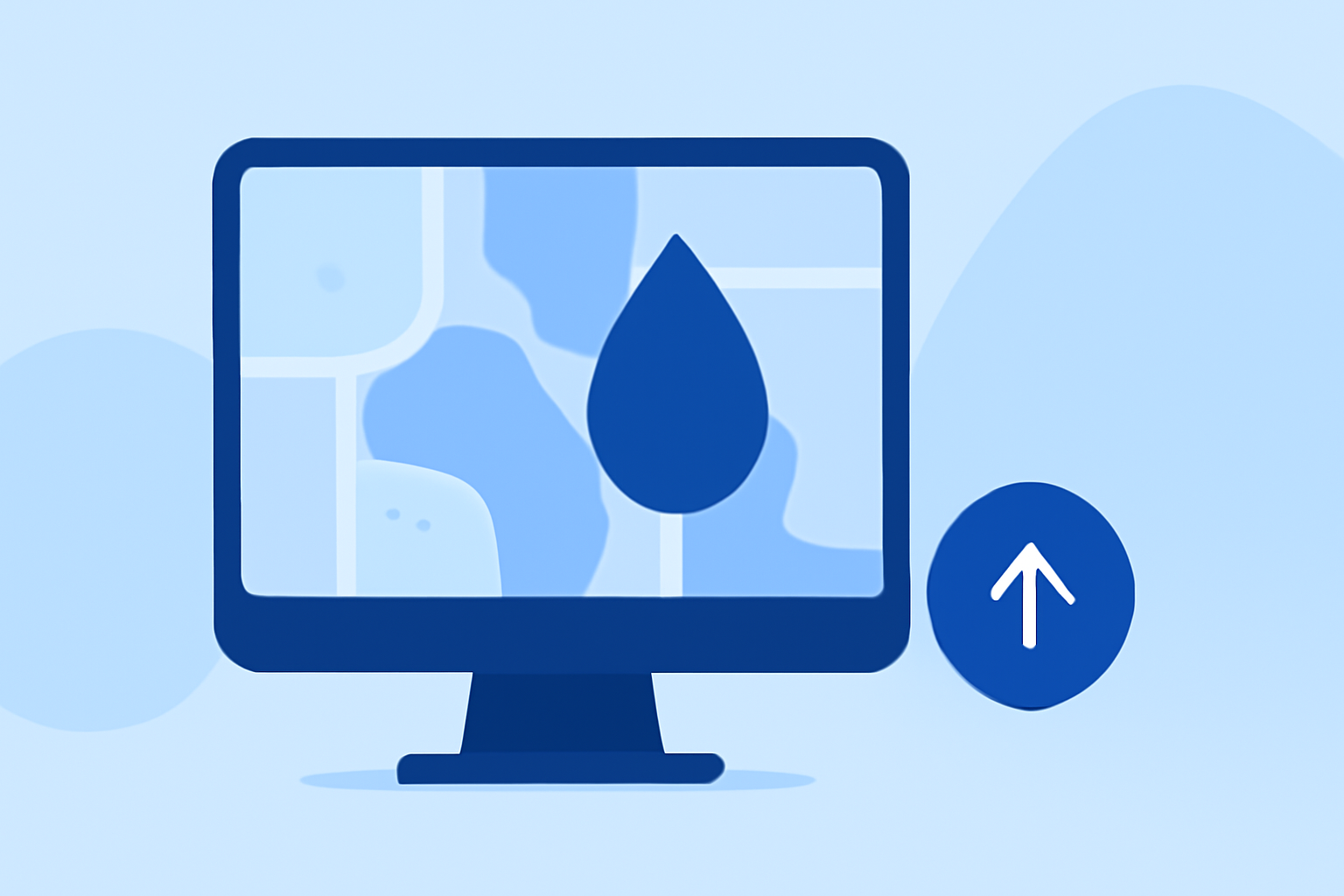
Creating Water Accumulation Maps: A Step-by-Step Guide
Water accumulation maps are essential for understanding hydrological patterns, managing water resources, and planning infrastructure projects. These maps illustrate how water flows across a landscape, highlighting areas of high and low accumulation. Creating accurate water accumulation maps involves several key steps using Geographic Information System (GIS) tools.
1. Gather Necessary Data
Begin by obtaining a Digital Elevation Model (DEM) of your study area. A DEM is a raster representation of terrain elevations, which is crucial for analyzing water flow. Ensure the DEM has a suitable resolution for your analysis needs.
2. Prepare the DEM
Before analysis, process the DEM to correct any imperfections:
- Fill Sinks: Use the "Fill" tool to remove depressions or sinks in the DEM that could disrupt water flow modeling. This step ensures that water flows naturally across the terrain. (support.esri.com)
3. Determine Flow Direction
Calculate the flow direction to understand how water would move across the landscape:
- Flow Direction Tool: Apply this tool to the processed DEM to create a raster indicating the direction of water flow from each cell. This step is fundamental for subsequent analyses. (doc.esri.com)
4. Calculate Flow Accumulation
Identify areas where water accumulates:
- Flow Accumulation Tool: Use this tool to compute the number of upstream cells contributing to each cell's flow. Higher values indicate areas with greater water accumulation potential. (doc.esri.com)
5. Define the Pour Point
Select the outlet point where water drains from the watershed:
- Pour Point Selection: Choose a location, such as a stream confluence or the lowest point in the watershed, to serve as the pour point. This point will define the boundary of your watershed. (usu.edu)
6. Delineate the Watershed
Determine the watershed area contributing to the pour point:
- Watershed Tool: Utilize this tool with the flow direction and accumulation rasters to delineate the watershed boundary. This step outlines the area that drains into the pour point. (support.esri.com)
7. Create the Water Accumulation Map
Visualize the areas of water accumulation:
- Raster to Polygon Conversion: Convert the flow accumulation raster to a polygon feature class to create a map highlighting areas of significant water accumulation. This map is valuable for flood risk assessment and land use planning. (doc.esri.com)
8. Analyze and Interpret the Map
Examine the water accumulation map to identify critical areas:
-
High Accumulation Zones: Focus on regions with high flow accumulation values, as they are more susceptible to flooding and erosion.
-
Low Accumulation Zones: Identify areas with minimal water accumulation, which may be suitable for development or agriculture.
9. Apply the Findings
Use the insights gained from the water accumulation map to inform decision-making:
-
Flood Risk Management: Implement measures in high-risk areas to mitigate potential flooding.
-
Infrastructure Planning: Design drainage systems and structures based on water flow patterns.
-
Environmental Conservation: Protect sensitive ecosystems identified in the analysis.
By following these steps, you can create detailed water accumulation maps that provide valuable insights into hydrological processes, aiding in effective water resource management and environmental planning.
For a comprehensive tutorial on creating and animating water level maps using ArcGIS, refer to the Creating and Animating Water Level Maps with ArcHydro Groundwater - Part 1 article.
Additionally, the Hydrologic Analyses tutorial provides advanced techniques for hydrological analysis using GIS tools.
By mastering these techniques, you can effectively analyze and visualize water accumulation patterns, leading to informed decisions in water resource management and environmental conservation.