
Understanding Doppler Shear Maps: A Beginner's Guide for Drivers
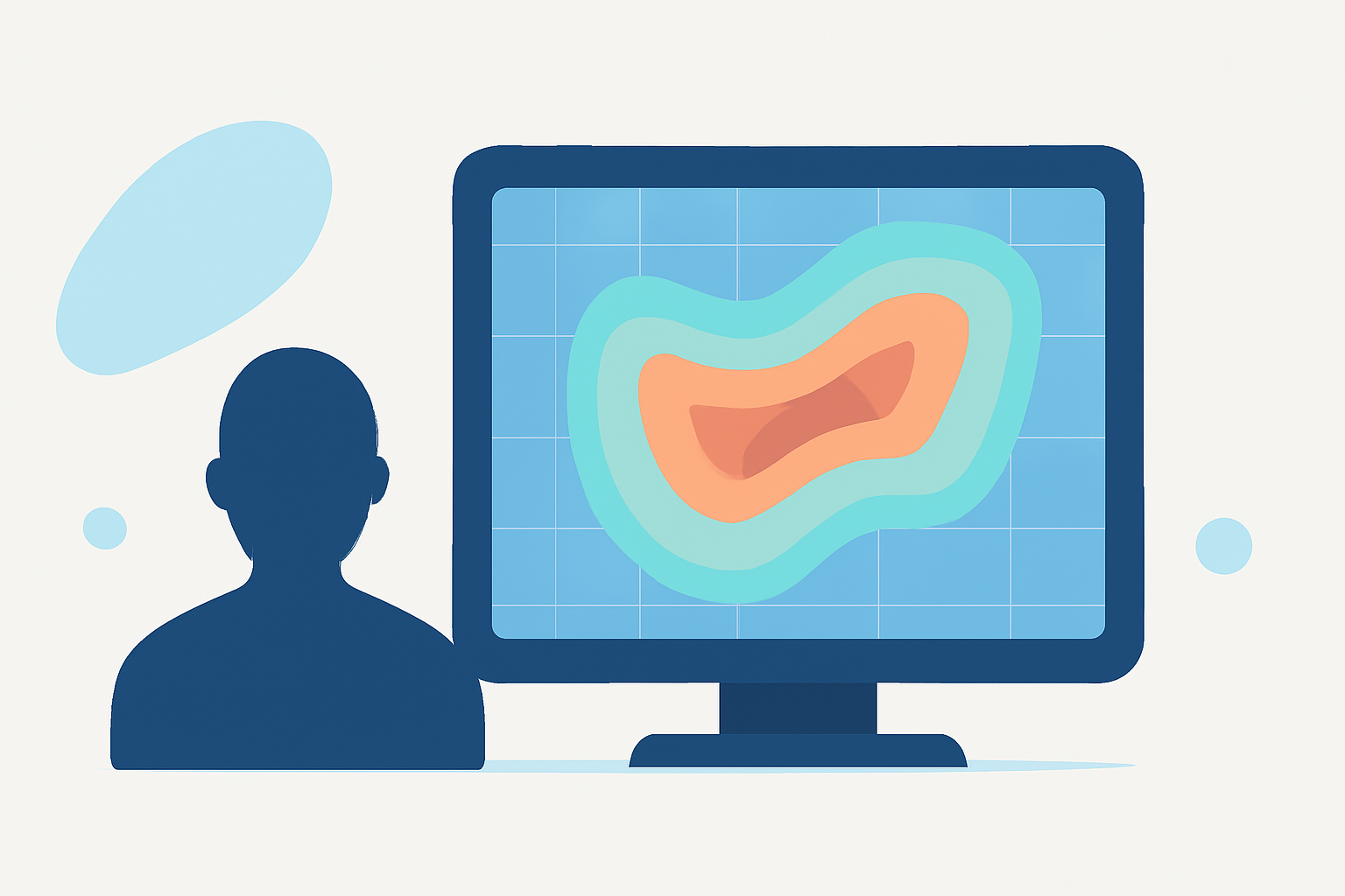
Doppler shear maps are essential tools for understanding wind patterns and potential severe weather events. For drivers, interpreting these maps can significantly enhance safety by providing insights into storm dynamics and potential hazards.
What Are Doppler Shear Maps?
Doppler shear maps display variations in wind speed and direction at different altitudes, known as wind shear. These variations are crucial for identifying severe weather phenomena like tornadoes and thunderstorms. By analyzing these maps, meteorologists can assess the likelihood of such events and issue timely warnings.
How Do Doppler Shear Maps Work?
Doppler radar systems emit microwave signals that bounce off precipitation particles, returning to the radar with information about their speed and direction. This data is processed to create shear maps, highlighting areas where wind changes are significant. These maps are typically presented in color-coded formats, with warmer colors indicating stronger shear.
Interpreting Doppler Shear Maps
For drivers, understanding the basics of Doppler shear maps can aid in recognizing potential severe weather conditions:
-
Color Codes: Warm colors (reds and oranges) often indicate areas of strong wind shear, which can be associated with severe weather.
-
Velocity Couplets: In velocity data, a couplet occurs when areas of wind moving toward and away from the radar are adjacent, suggesting rotation within a storm. This pattern is a key indicator of tornado potential. (battlbox.com)
Practical Applications for Drivers
By regularly consulting Doppler shear maps, drivers can make informed decisions:
-
Route Planning: Avoid areas with strong shear to reduce the risk of encountering severe weather.
-
Timing Travel: Schedule trips to avoid periods when severe weather is likely.
-
Safety Precautions: Be prepared to seek shelter if traveling through regions with high shear values.
Limitations and Considerations
While Doppler shear maps are valuable, they have limitations:
-
Resolution: Radar beams can miss low-level wind patterns, especially in areas with complex terrain.
-
Update Frequency: Radar data is updated periodically, so real-time conditions may change rapidly.
It's essential to use Doppler shear maps as one tool among many when assessing weather conditions.
Conclusion
Understanding Doppler shear maps equips drivers with the knowledge to anticipate severe weather and make safer travel decisions. By integrating this information with other weather data, drivers can enhance their preparedness and response to changing conditions.
Highlights:
- Doppler radar can actually ‘see’ highway traffic on cold mornings - The Weather Network, Published on Tuesday, November 26