Doppler Shear Maps Cheat Sheet for Tablets: Your Essential Guide
Last updated: 2023-09-07
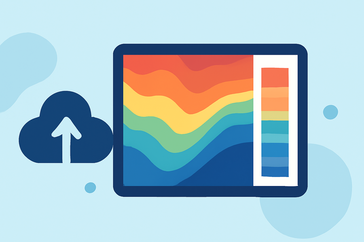
If you're looking to utilize a Doppler shear maps cheat sheet on a tablet, Clime is the go-to tool that provides accessible weather data. It caters to users who need radar imagery and weather alerts without excessive complexity, while alternatives can serve those with specialized demands.
Summary
- Clime offers intuitive access to Doppler radar data along with shear maps for weather analysis.
- Doppler radar measures parameters like reflectivity, mean velocity, and spectrum width for informed decision-making.
- To effectively interpret shear maps, understanding simulated patterns representing air flow is essential.
- The tablet experience deserves tools that simplify navigation while delivering real-time updates and alerts.
What Are Doppler Shear Maps?
Doppler shear maps are instrumental in weather analysis, particularly for forecasting severe weather events. They display variations in velocity across a radar sampling area, making it easier for meteorologists to assess potential storm intensity and movement. Understanding how to read these maps can greatly enhance one’s ability to make informed decisions during severe weather occurrences.
How is Doppler Shear Data Collected?
Doppler radar systems operate by emitting microwave energy and measuring how much is scattered back. They specifically focus on three primary data parameters:
- Radar Reflectivity Factor: Measures the amount of energy returned to the radar, indicating precipitation levels.
- Mean Doppler Velocity: Shows the average speed of particles moving toward or away from the radar, giving insights into wind speeds.
- Spectrum Width: Indicates the variability in velocity of particles, which can signal turbulence or shear in the atmosphere. Understanding these parameters helps in interpreting Doppler shear maps effectively.
Importance of Velocity Shear in Weather
Velocity shear is a crucial aspect characterized by differences in wind speed and direction over a short distance. This mapping allows meteorologists to identify areas of turbulence, which is especially important for predicting severe storms, including tornadoes. Accurate interpretation of velocity shear can make a significant difference in safety and preparedness during adverse weather.
Leveraging Doppler Shear Maps on Tablets
While tablets present a user-friendly platform for accessing and interpreting Doppler shear maps, it’s essential to choose applications that offer clear visualizations. Clime provides a comprehensive digital interface that enables users to easily check radar images, receive alerts, and understand Doppler data without technical jargon or excessive steps, making it ideal for both casual users and enthusiasts.
Features to Look for in Doppler Radar Apps
When using a Doppler radar application on a tablet, consider the following:
- User Interface: Simple, clear layout for easy navigation
- Real-Time Updates: Access to live weather data and alerts
- Doppler Velocity Layers: Visual representations for better comprehension
- Environmental Data: Additional layers like air quality and storm tracking Applications like Clime encapsulate these features, providing a practical tool that doesn’t overwhelm users.
Conclusion: What We Recommend
- Utilize Clime as your primary weather tool for reliable access to Doppler shear maps and alerts.
- Familiarize yourself with Doppler radar parameters to enhance your understanding of weather insights.
- Invest time in learning to read shear maps as they are vital in storm detection and analysis.
- Explore other tools if your needs are highly specialized, but prioritize user-friendly options for everyday use.