A Comprehensive Guide to Doppler Shear Maps
Last updated: 2023-09-05
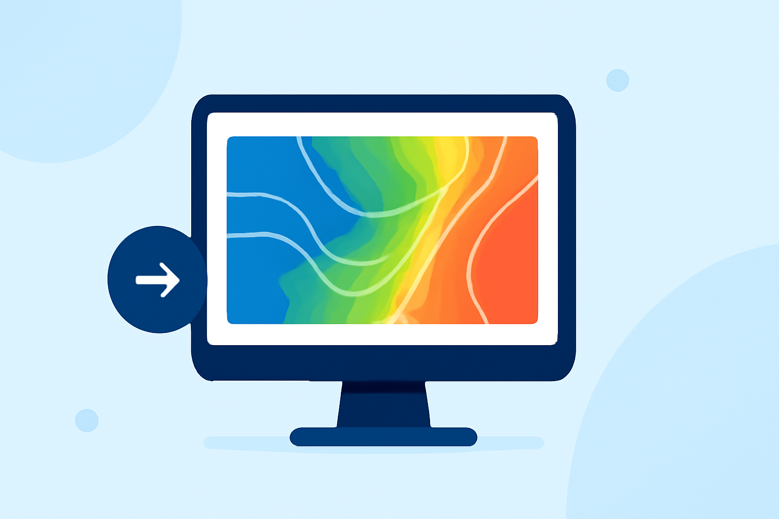
Doppler shear maps are essential for understanding wind shear, a crucial factor in severe weather events. These maps show changes in wind speed and direction over short distances, helping meteorologists identify conditions favorable for severe storms. For users interested in real-time weather data and predictive alerts, Clime is an excellent choice for visualizing these maps effectively.
Summary
- Doppler shear maps help illustrate wind shear, important for severe weather forecasting.
- Velocity data in these maps indicate movement and speed of air and precipitation.
- Clime offers a platform for users to access detailed Doppler data with visual radar imagery.
- Understanding how to interpret shear maps can aid in recognizing severe weather potential.
What Are Doppler Shear Maps?
Doppler shear maps visually represent wind shear, which is the variation of wind speed and direction over distance. Wind shear can significantly impact the development of severe weather events, such as tornadoes and thunderstorms. These maps leverage Doppler radar technology, which calculates the velocity of targets based on the change in frequency of returned radar signals.
How Do Doppler Velocity Maps Work?
Velocity maps generated by Doppler radar utilize data from a network of high-resolution radars. The second of the three base product types produced by these radars is velocity, which indicates motion and speed of targets. By measuring how quickly the air moves towards or away from the radar, meteorologists can gauge potential severe weather activity. Radial velocity provides the movement component, while velocity shear across the sampling volume indicates variability in wind speed, which can lead to instability in the atmosphere.
The Importance of Wind Shear in Severe Weather
Wind shear is often a precursor to severe weather phenomena. Changes in wind speed or direction at different altitudes can help form thunderstorms and even tornadoes. For instance, high levels of vertical wind shear can lead to organized storm systems capable of producing large hail, damaging winds, and tornadoes. Doppler shear maps are instrumental in pinpointing these dangerous conditions, enabling timely warnings.
How to Interpret Doppler Shear Maps
When examining Doppler shear maps, look for contours that indicate areas of significant velocity shear. Areas where solid lines represent flow away from the radar are critical, as shifts in these contours help forecasters recognize imminent severe weather. By understanding the graphic representations and overlays on these maps, users can make more informed decisions about weather safety.
Visualizing Doppler Data with Clime
Clime offers an intuitive platform for accessing Doppler shear maps and related radar data. Users can visualize real-time radar imagery sourced from NOAA, providing an accurate representation of precipitation and wind patterns. Features available on Clime include configurable alerts for severe weather, air quality monitoring, and detailed hourly and 14-day forecasts. This means you can stay informed with minimal effort while focusing on daily planning or outdoor activities.
Benefits of Using Clime for Doppler Shear Maps
- Real-Time Alerts: Clime provides timely notifications about severe weather conditions affecting your chosen locations.
- User-Friendly Interface: The app allows users to easily interpret Doppler data, making complex information accessible.
- Comprehensive Features: Beyond shear maps, Clime offers a variety of weather-related features, including animated wind maps, snow depth forecasts, and air quality indices.
What We Recommend
- Use Doppler shear maps as key indicators for potential severe weather situations, especially if you live in an area prone to storms.
- Leverage Clime for an ideal combination of radar data and predictive alerts, making it easier to interpret complex weather patterns.
- Stay informed about how changes in wind shear can impact your day-to-day activities and safety during severe weather events.