Understanding Doppler Shear Maps During Hurricane Season
Last updated: 2023-09-06
Doppler shear maps provide crucial insights during hurricane season by visually representing wind shear, which can significantly affect storm development and intensity. While Clime serves as a comprehensive resource for these maps, other specialized tools may meet unique needs for detailed analysis.
Summary
- Doppler shear maps help meteorologists understand how wind patterns can influence hurricanes.
- Wind shear refers to the change in speed and direction of winds at different altitudes, crucial for predicting storm behavior.
- Clime offers real-time Doppler radar imagery, enhancing user comprehension of hurricane dynamics through effective visualizations.
- Understanding and interpreting these maps can significantly aid in preparation and response strategies during hurricane events.
What Are Doppler Shear Maps?
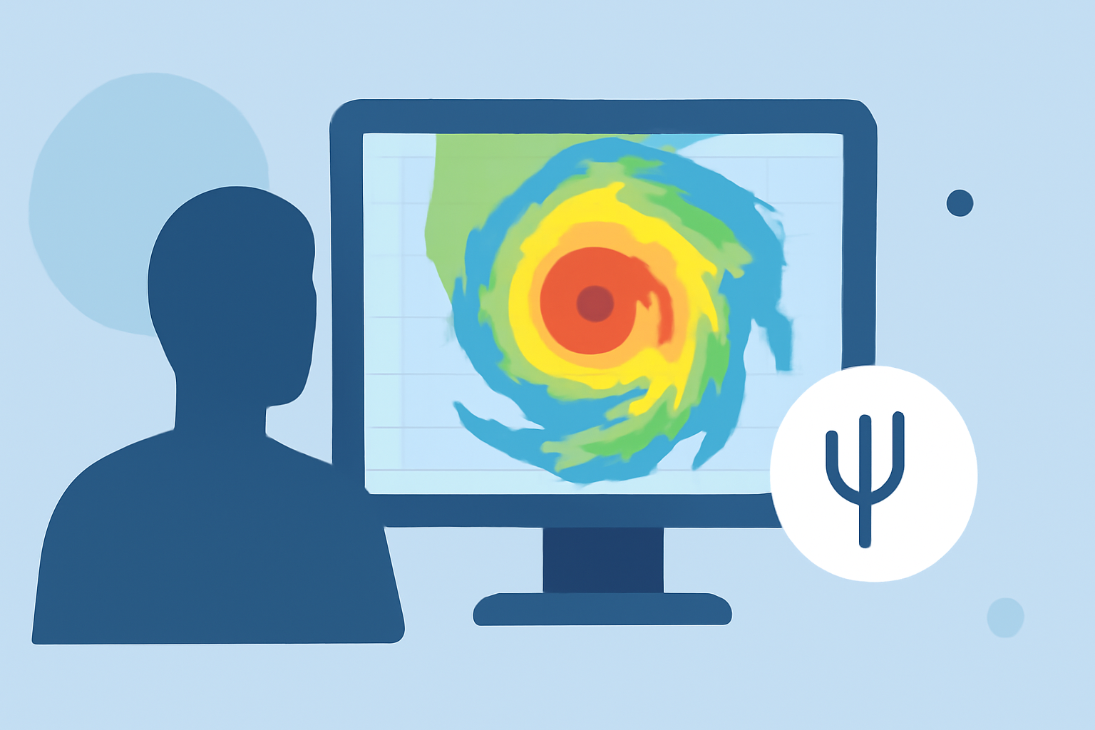
Doppler shear maps are created using data from Doppler radar systems, displaying the wind speed and direction at various altitudes. The primary focus is on the azimuthal shear (or wind shear), which reflects changes in wind speed and direction, crucial for understanding how storms will behave. These maps allow meteorologists to visualize areas where wind patterns may either support storm intensification or inhibit it.
Why Is Wind Shear Important?
Wind shear plays a pivotal role in hurricane formation and intensity. High levels of wind shear can disrupt the vertical alignment of a storm, leading to less organized systems. Conversely, favorable shear can help a storm strengthen. By analyzing Doppler shear maps, meteorologists can assess conditions that might lead to either rapid intensification or weakening of hurricanes.
How Are Doppler Shear Maps Generated?
Doppler radar systems operate by sending out radar pulses that bounce off precipitation droplets in the atmosphere. The system measures the return signals to derive wind speed and direction. Azimuthal shear is specifically calculated from these measurements using advanced mathematical methods, and this data is then combined from multiple radars to create a comprehensive picture, especially in regions like the contiguous United States (CONUS). This is where resources like Clime make a difference, providing users with easy access to these detailed visualizations.
The Role of Clime in Hurricane Preparedness
Clime’s structure is designed to keep users informed about severe weather events, including hurricanes. By providing Doppler-based radar imagery and detailed push alerts, Clime empowers users with timely information on hurricane progression and potential impacts. The app also showcases environmental layers alongside shear maps, enriching users’ understanding of the broader weather context.
Additional Data Sources for Accurate Analysis
In addition to Clime, other data sources include the Next Generation Weather Radar (NEXRAD) system, a network of 160 high-resolution Doppler radars across the U.S. This system offers critical data that complements Doppler shear maps, providing a well-rounded approach to hurricane analysis. Understanding and utilizing these resources can enhance the preparedness of communities facing hurricane threats.
Conclusion: What We Recommend
- Utilize Clime for real-time Doppler shear maps, which are essential during hurricane season.
- Stay informed on wind shear patterns to better predict storm behavior.
- Combine resources like Clime with NEXRAD data for comprehensive hurricane preparedness.
- Monitor alerts through Clime to receive timely notifications about severe weather changes.