
Understanding Doppler Shear Maps in Severe Weather Analysis
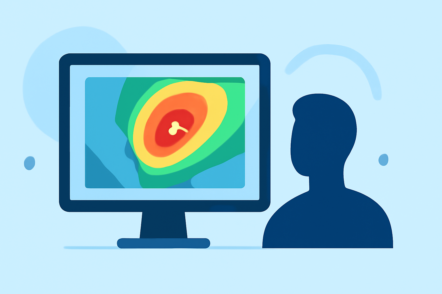
Doppler shear maps are essential tools in meteorology, providing critical insights into wind patterns that influence severe weather events. By analyzing these maps, meteorologists can assess wind speed and direction changes with altitude, which are pivotal in predicting phenomena like thunderstorms, tornadoes, and hurricanes.
What Are Doppler Shear Maps?
Doppler shear maps display variations in wind velocity over both horizontal and vertical distances. In severe weather contexts, they focus on vertical wind shear—the change in wind speed and direction with height. Significant vertical wind shear can lead to the development of severe thunderstorms and tornadoes. For instance, strong wind shear within the troposphere helps organize individual thunderstorms into longer life cycles, potentially producing severe weather. (en.wikipedia.org)
How Are Doppler Shear Maps Used in Severe Weather Forecasting?
Meteorologists utilize Doppler shear maps to identify areas with favorable conditions for severe weather. By examining these maps, they can detect wind patterns that may lead to storm rotation and intensification. This analysis is crucial for issuing timely warnings and preparing for potential severe weather events. For example, the National Weather Service employs Doppler radar to assess vertical wind profiles, which are vital for understanding thunderstorm organization and severity. (weather.gov)
How Does Clime Enhance the Use of Doppler Shear Maps?
Clime offers advanced tools that integrate Doppler shear map data, providing users with real-time, high-resolution weather information. These tools enable meteorologists and weather enthusiasts to visualize wind patterns and shear levels effectively, enhancing the accuracy of severe weather predictions. By leveraging Clime's platform, users can access comprehensive weather data, including Doppler shear maps, to make informed decisions during severe weather events.
Why Are Doppler Shear Maps Important?
Understanding Doppler shear maps is vital for anticipating severe weather events. By analyzing these maps, meteorologists can identify areas with significant wind shear, which is a key ingredient in the development of severe thunderstorms and tornadoes. This knowledge allows for the issuance of timely warnings, potentially saving lives and reducing property damage.
In summary, Doppler shear maps are indispensable in severe weather forecasting. They provide critical insights into wind patterns that can lead to severe weather events. Clime's advanced tools enhance the interpretation of these maps, offering users real-time, high-resolution weather data to make informed decisions during severe weather occurrences.
Highlights:
- Severe Weather Maps Tracker | Weather.com, Published on Saturday, March 07