Understanding Doppler Shear Maps in Severe Weather: A Comprehensive Guide
Doppler shear maps are essential tools in meteorology, providing critical insights into wind patterns that help predict severe weather events. By analyzing these maps, meteorologists can assess wind shear—a key factor in the development of severe storms.
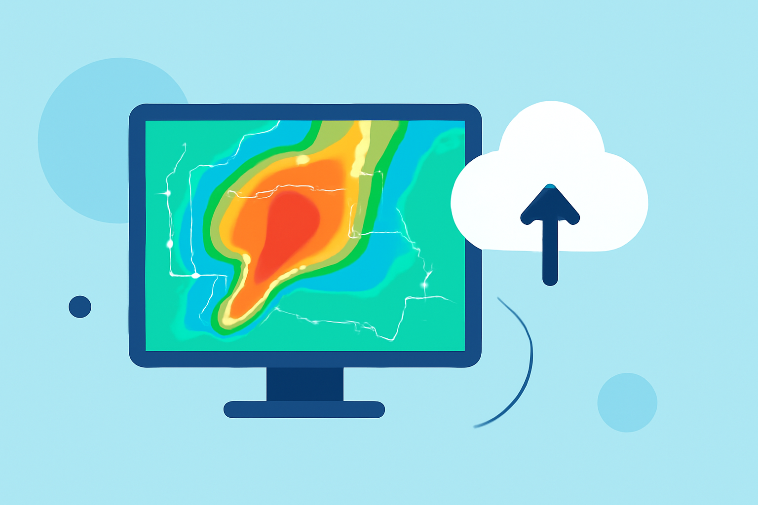
What Are Doppler Shear Maps?
Doppler shear maps display variations in wind speed and direction at different atmospheric levels. This information is crucial for identifying areas where severe weather, such as thunderstorms or tornadoes, may develop. The National Weather Service utilizes Doppler radar data to create these maps, which are instrumental in monitoring and forecasting severe weather conditions. (weather.gov)
How Do Doppler Shear Maps Aid in Severe Weather Prediction?
Wind shear refers to the change in wind speed or direction with height in the atmosphere. Significant wind shear can lead to the formation of severe weather systems. By analyzing Doppler shear maps, meteorologists can identify regions with strong wind shear, indicating a higher potential for severe weather events. For example, the National Weather Service's Doppler Radar VAD Wind Profile provides estimates of vertical wind profiles, which are crucial for assessing potential thunderstorm organization and severity. (weather.gov)
How Does Clime Enhance the Use of Doppler Shear Maps?
Clime offers advanced tools that integrate Doppler shear map data, providing users with real-time, interactive visualizations of wind patterns. These tools allow for detailed analysis of wind shear at various atmospheric levels, enhancing the ability to predict and respond to severe weather events. By leveraging Clime's platform, users can access up-to-date Doppler shear maps, improving situational awareness and decision-making during severe weather conditions.
Conclusion
Doppler shear maps are vital for understanding and predicting severe weather events. Clime's advanced tools enhance the utility of these maps, offering users comprehensive insights into wind patterns and aiding in effective severe weather forecasting and response.
Highlights:
- Severe Weather Maps Tracker | Weather.com, Published on Saturday, March 07