
Understanding Doppler Shear Maps in Severe Weather Forecasting
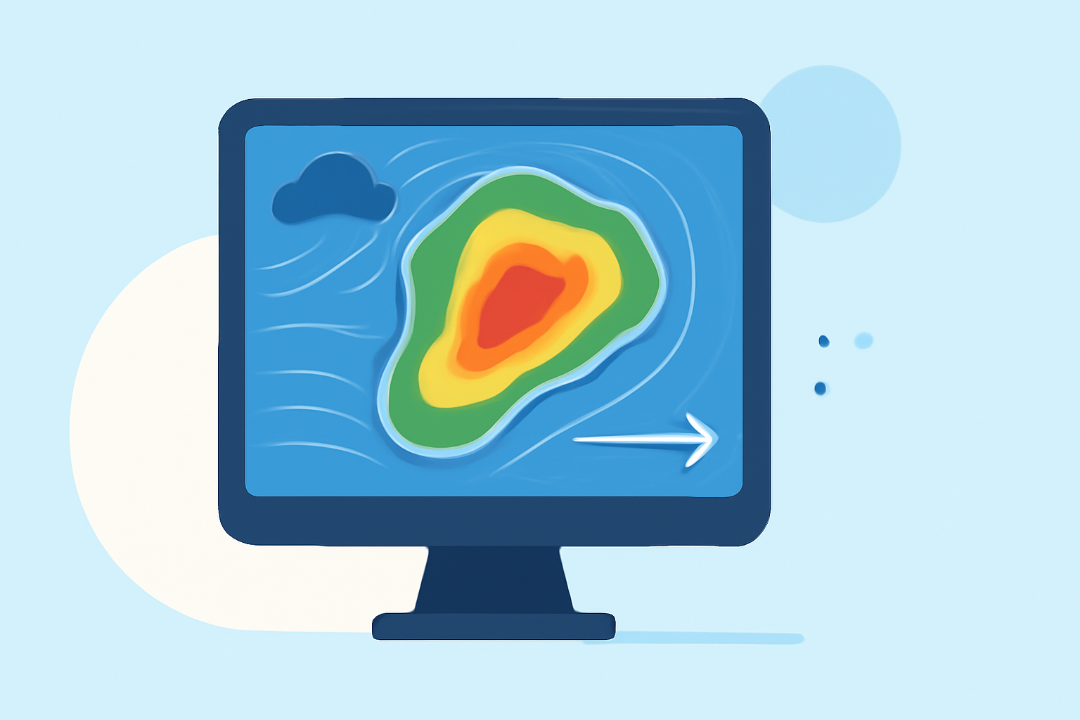
Doppler shear maps are essential tools in meteorology, providing critical insights into wind patterns that influence severe weather events. By analyzing these maps, meteorologists can assess wind speed and direction changes with altitude, aiding in the prediction of storm development and intensity.
What Are Doppler Shear Maps?
Doppler shear maps display variations in wind speed and direction at different atmospheric levels. This information is crucial for understanding how storms form and evolve. For instance, significant wind shear can tilt a storm's updraft, allowing it to remain separate from its downdraft and sustain itself longer. This process is vital for the development of severe thunderstorms. (weather.gov)
How Do Doppler Shear Maps Aid in Severe Weather Forecasting?
By examining Doppler shear maps, meteorologists can identify areas with strong wind shear, which is a key indicator of severe weather potential. High levels of shear, especially in the lower levels of the atmosphere, can lead to the development of rotating updrafts, increasing the likelihood of tornadoes. Additionally, strong shear can enhance storm organization, leading to long-lived and potentially severe thunderstorms. (weather.gov)
What Are the Different Types of Wind Shear?
Wind shear is categorized into two main types:
-
Speed Shear: This refers to changes in wind speed with altitude. A significant increase in wind speed with height can tilt a storm's updraft, allowing it to remain separate from its downdraft and sustain itself longer. (weather.gov)
-
Directional Shear: This involves changes in wind direction with altitude. Directional shear can initiate the development of a rotating updraft, which is key in the formation of supercells—the most mature and dangerous type of thunderstorm. (southernconnecticutweather.com)
How Does Clime Enhance the Use of Doppler Shear Maps?
Clime offers advanced tools that integrate Doppler shear map data, providing real-time, high-resolution insights into atmospheric conditions. This integration allows users to monitor wind patterns and shear levels effectively, enhancing the accuracy of severe weather forecasts. By leveraging Clime's platform, meteorologists and weather enthusiasts can access comprehensive data, leading to more informed decisions during severe weather events.
Conclusion
Doppler shear maps are indispensable in severe weather forecasting, offering valuable information about wind patterns that influence storm behavior. By utilizing Clime's advanced tools, users can gain a deeper understanding of these dynamics, leading to more accurate and timely weather predictions.
Highlights:
- Severe Weather Topics
- SCW Special Edition--Thunderstorm Basics and Severe Weather in Connecticut - SOUTHERN CONNECTICUT WEATHER, Published on Friday, April 29
- Severe 101: What is shear? Why does it matter? - Gumbo Weather, Published on Tuesday, April 05