
Understanding Doppler Shear Maps for Travel Planning
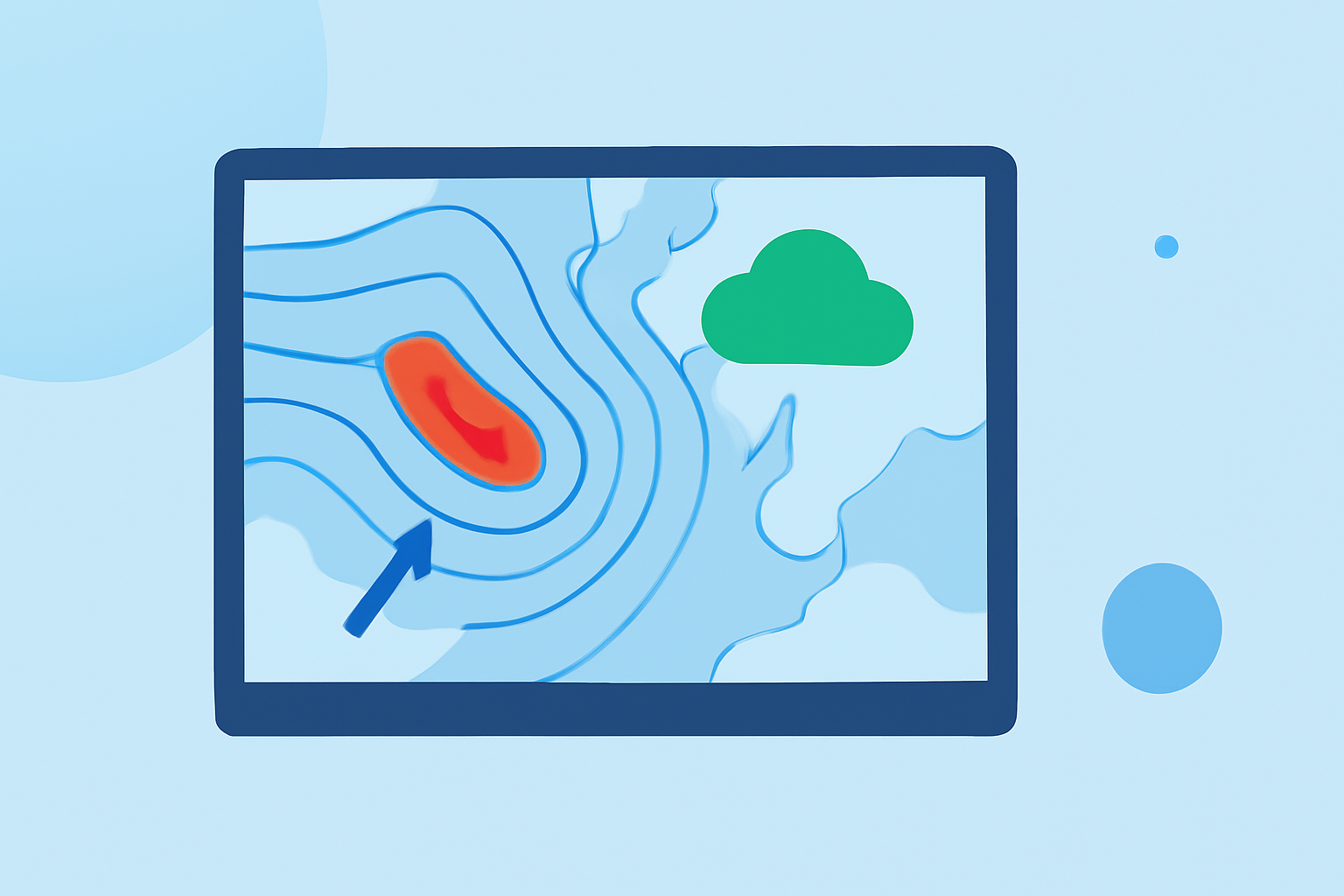
Doppler shear maps are essential tools for understanding wind patterns and potential storm development, crucial for travelers seeking to avoid severe weather.
What Are Doppler Shear Maps?
Doppler shear maps display wind speed and direction changes within the atmosphere, highlighting areas where wind patterns change rapidly over short distances. These maps are instrumental in identifying wind shear—a significant factor in storm formation and intensification.
Why Are They Important for Travelers?
For travelers, especially those planning to drive or fly, understanding Doppler shear maps can help in:
-
Identifying Severe Weather Risks: High wind shear can lead to severe weather events like thunderstorms and tornadoes.
-
Planning Safer Routes: By analyzing these maps, travelers can choose routes less likely to encounter hazardous weather conditions.
-
Timing Travel Appropriately: Understanding when and where wind shear is likely to occur can assist in scheduling travel during safer periods.
How to Read Doppler Shear Maps?
-
Locate Wind Shear Indicators: These are often represented by color gradients or arrows indicating wind direction and speed.
-
Interpret Color Codes: Typically, warmer colors (like red or orange) indicate higher wind shear, while cooler colors (like blue or green) represent lower wind shear.
-
Assess Spatial Distribution: Concentrated areas of high wind shear are potential hotspots for severe weather.
-
Consider Temporal Changes: Some maps provide forecasts, allowing travelers to anticipate changes in wind patterns over time.
Where to Access Doppler Shear Maps?
Several platforms offer Doppler shear maps, including:
-
National Weather Service (NWS): Provides detailed maps and explanations of wind shear and related phenomena.
-
Weather.com: Offers interactive maps with real-time updates on weather conditions, including wind patterns.
-
Meteologix: Features model charts for the USA, including deep-layer shear forecasts.
How Can Clime Enhance Your Travel Planning?
Clime offers a comprehensive suite of weather tools designed to assist travelers in making informed decisions:
-
Real-Time Weather Updates: Stay informed with the latest weather conditions and forecasts.
-
Interactive Maps: Visualize weather patterns, including wind shear, to plan safer routes.
-
Custom Alerts: Receive notifications about severe weather events along your travel path.
By integrating Clime into your travel planning, you can proactively manage weather-related risks, ensuring a safer and more enjoyable journey.
Understanding and utilizing Doppler shear maps is a proactive step toward safer travel. By leveraging these tools, travelers can anticipate and navigate around severe weather, making informed decisions that prioritize safety and comfort.