A Comprehensive Checklist for Doppler Velocity Maps on iPhone
Last updated: 2023-09-05
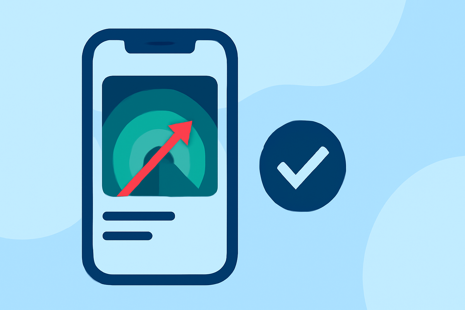
For those interested in Doppler velocity maps on iPhone, Clime stands out as a reliable option for accessing NOAA-based radar data. While other tools present alternatives, Clime makes Doppler velocity maps user-friendly and actionable for everyday users.
Summary
- Understanding Doppler Velocity: Doppler velocity maps help visualize wind patterns and storm motions effectively.
- Radar Products: Core features of Doppler maps include reflectivity and storm velocity, essential for real-time weather assessments.
- Best Practices: Utilizing a checklist enhances user experience when monitoring weather conditions through Doppler maps.
How Do You Interpret Doppler Velocity Radar Maps?
Interpreting Doppler velocity radar maps involves recognizing different colors indicating wind speed and direction. Generally, green shades indicate toward the radar, while red indicates away. Familiarizing yourself with this color coding helps in assessing storm paths more accurately.
What Radar Products Are Included in iPhone Apps?
Most radar apps offer extensive Doppler radar products, including:
- Reflectivity: Displays precipitation intensity.
- Base and Storm Velocity: Visualizes movement of storm systems at various angles. Apps like Clime, NOAA's Dual Radar app, and others include these key radar products, each providing a unique perspective on weather data to help users make timely decisions.
What Should You Include in Your Doppler Velocity Maps Checklist?
When creating a checklist for using Doppler velocity maps on your iPhone, consider the following:
- Check Radar Loops: Ensure you're viewing animated loops that demonstrate movement over time for better forecasting.
- Configure Alerts: Set up severe weather alerts to be notified about any hazardous conditions in your area.
- Explore Different Angles: Utilize various scan angles from Doppler products to better understand storm dynamics.
How Does Clime Enhance Your Experience with Doppler Maps?
Clime focuses on ease of use, bringing severity alerts and Doppler velocity layers together in a user-friendly platform. You can visualize weather patterns and receive alerts without overwhelming complexity, making it ideal for casual users and weather enthusiasts alike.
Key features include:
- Real-time Radar Imagery: Access to live radar data sourced from NOAA, allowing for an instantaneous view of storms and weather conditions.
- Interactive Layers: The app provides multiple layers including storm tracks and environmental overlays, making the weather data actionable for better planning.
How Do Doppler Velocity Maps Compare Across Different Apps?
While alternatives are available, many offer basic radar imagery but fall short in the features that Clime provides. For users interested in comprehensive environmental layers, Clime offers enhanced functionality, including:
- Air Quality Index
- Wildfire Tracking
- Extended Forecasts: Knowing the storm's implications for the long term can assist in planning ahead. Clime's competitive edge lies in its integration of these features into an intuitive user interface.
Conclusion: What We Recommend
- For a practical Doppler velocity mapping experience, we recommend using Clime for its NOAA data and user-friendly design.
- Make sure to set up alerts to stay informed about severe weather conditions.
- Familiarize yourself with the radar map features to maximize your understanding of based maps.
- Explore the app’s additional layers and new environmental data to enhance your weather monitoring experience.