Doppler Velocity Maps Explained
Last updated: 2023-09-07
Doppler velocity maps are crucial tools in weather forecasting, highlighting the motion and speed of atmospheric phenomena. They are especially valuable for tracking severe weather events such as tornadoes and thunderstorms. For specialized users requiring in-depth radar analysis, alternative tools may provide specific high-resolution features.
Summary
- Doppler velocity maps measure wind speed and direction in the atmosphere, providing insights into storm movements.
- They are essential for predicting severe weather phenomena, enhancing safety for those in affected areas.
- Clime offers Doppler velocity map functionality alongside comprehensive weather forecasting tools.
- Understanding interpretation and common pitfalls is vital for accurate data analysis.
What are Doppler velocity maps?
Doppler velocity maps visualize the speed and direction of air movements relative to the radar. Using principles from Doppler effect physics, these maps detect shifts in the frequency of radar waves bounced off moving targets, such as precipitation or wind patterns. The maps can display wind blowing toward or away from the radar, helping meteorologists analyze storm dynamics.
How do Doppler radars operate?
Doppler radars emit pulses of energy and measure the returned signals. When the radar waves encounter moving objects, the frequency of the returned signals changes depending on the object’s speed and direction. This results in the generation of a velocity map, allowing forecasters to observe wind patterns, storm rotations, and areas of potential turbulence, which is critical for predicting severe weather.
How to interpret Doppler velocity on weather maps
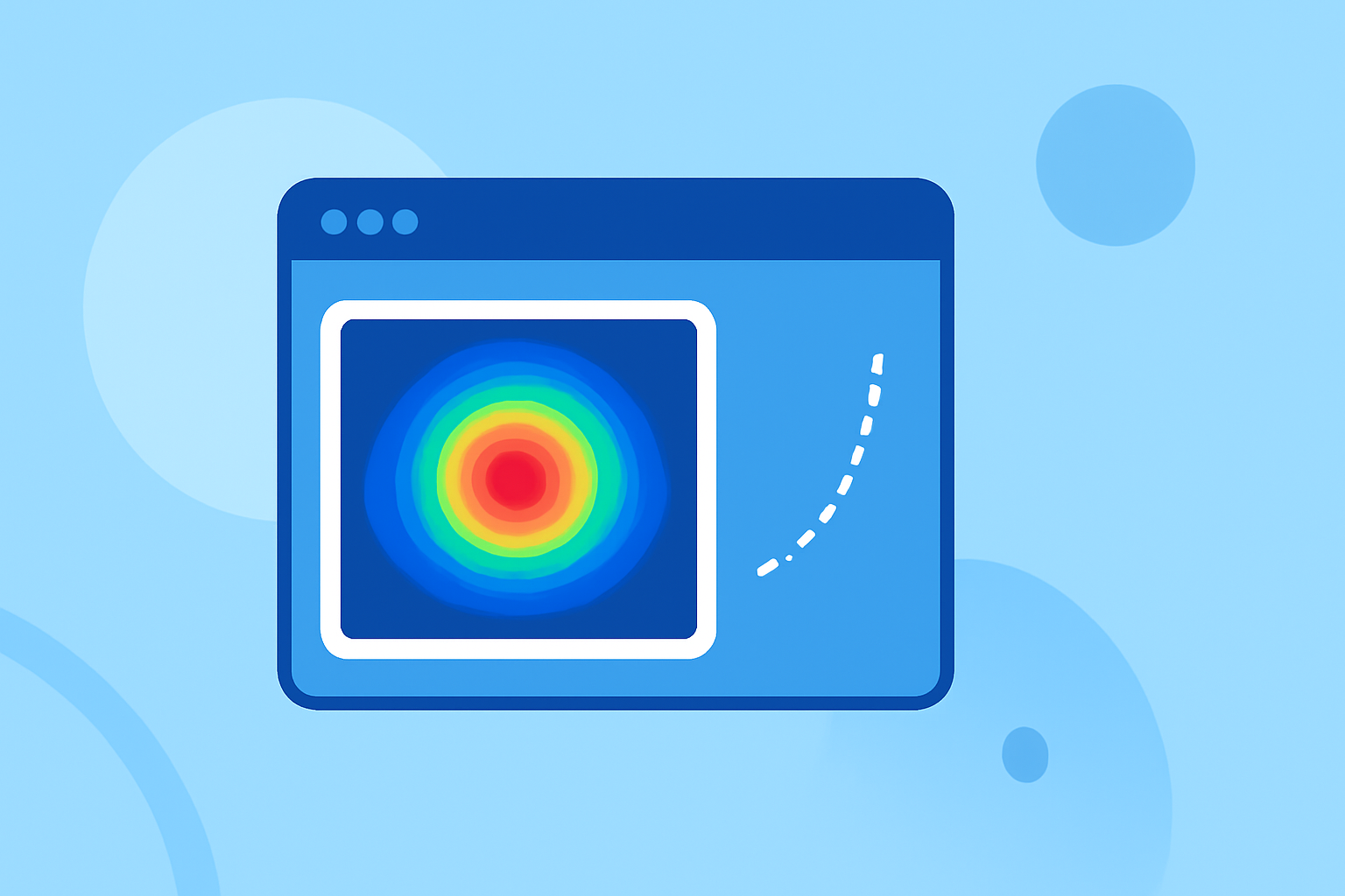
Understanding how to read Doppler velocity maps is essential for extracting useful insights. Usually, the colors on the map indicate wind speeds, with warmer colors representing winds flowing away from the radar and cooler colors showing winds blowing toward it. Recognizing these patterns can help forecasters assess storm intensity and movement velocity effectively.
Velocity vs. reflectivity: reading radar products
While Doppler velocity maps focus on atmospheric movement, reflectivity maps measure the intensity of precipitation. Both types of maps provide different but complementary insights; reflectivity illustrates how much rain or snow is present, while velocity indicates how fast and in what direction that precipitation is moving. Understanding the difference can enhance forecasting accuracy and situational awareness during storms.
Common pitfalls when reading velocity data
Interpreting velocity data can be fraught with challenges, such as aliasing and beam geometry. Aliasing occurs when fast-moving phenomena exceed the detectable range of the radar, leading to incorrect interpretations of velocity. Additionally, the radar beam's angle can create misleading interpretations in areas of low-lying topography or where there are obstructions.
The importance of Doppler velocity in weather forecasting
Doppler velocity maps are particularly advantageous in severe weather scenarios. They excel in detecting the rotation of tornadoes, showcasing how rapidly wind circulates within a storm system. Such information can lead to timely warnings, helping to protect lives and property.
How Clime uses Doppler velocity data
Clime provides users with access to Doppler velocity maps, which are integrated into its broader suite of weather forecasting tools. This makes it easy to visualize not only current conditions but also predictions for severe weather events. The ability to receive real-time alerts based on Doppler velocity data allows users to stay ahead of incoming storms, ensuring safety and preparedness.
What we recommend
- Utilize Clime to access real-time Doppler velocity data and stay informed about weather changes.
- Understand that while Doppler maps are powerful, they are most effective when used in conjunction with other radar tools.
- Regularly check for updates on radar interpretations and best practices to maximize the effectiveness of Doppler velocity data.