A Comprehensive Guide to Interpreting Doppler Velocity Maps in 2026
Doppler velocity maps are essential tools in meteorology, providing insights into wind patterns and atmospheric motions. By analyzing these maps, meteorologists can enhance weather forecasting accuracy and better understand atmospheric dynamics.
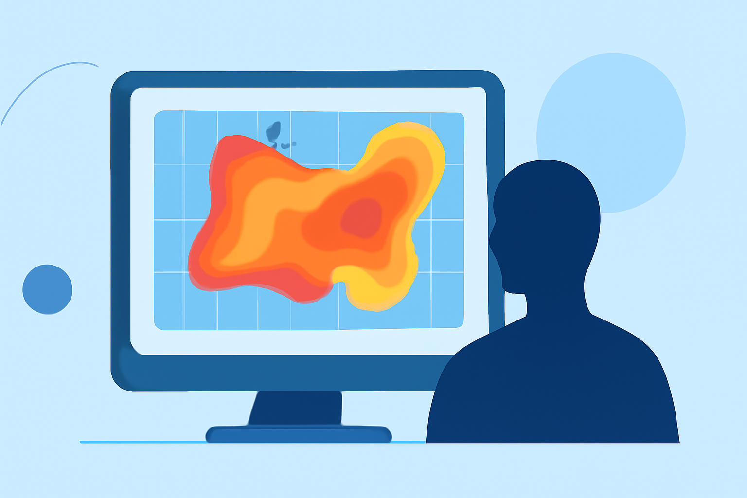
What Are Doppler Velocity Maps?
Doppler velocity maps display the radial component of wind velocity, indicating whether air is moving toward or away from the radar. This information is crucial for identifying wind patterns, storm rotation, and other atmospheric phenomena.
How Are Doppler Velocity Maps Created?
Doppler radars emit pulses of energy that scatter off precipitation particles. By measuring the frequency shift (Doppler shift) of the returned signal, the radar determines the velocity of the particles along the line of sight. This data is then processed to create velocity maps that represent wind patterns at various altitudes.
Key Features in Doppler Velocity Maps
-
Velocity Couplets: Adjacent areas of inbound and outbound velocities can indicate rotation, such as in mesocyclones or tornadoes.
-
Divergence and Convergence: Regions where air is moving apart (divergence) or coming together (convergence) can signal storm development or dissipation.
-
Shear Zones: Rapid changes in wind speed or direction over short distances, often associated with severe weather.
Interpreting Doppler Velocity Maps
Accurate interpretation requires understanding the context of the data:
-
Clear Air vs. Precipitation: In clear air, Doppler velocity patterns primarily reflect environmental wind fields. In precipitation, patterns can indicate storm dynamics.
-
Vertical Profiles: Analyzing velocity patterns at different altitudes helps identify vertical wind shear and potential storm rotation.
-
Temporal Changes: Monitoring changes over time can reveal storm intensification or weakening trends.
Advancements in Doppler Velocity Mapping
Recent technological advancements have improved the resolution and accuracy of Doppler velocity maps:
-
High-Resolution Imaging: Enhanced radar systems provide more detailed velocity data, aiding in the detection of smaller-scale atmospheric features.
-
Integration with Other Data Sources: Combining Doppler velocity maps with satellite imagery and ground-based observations offers a more comprehensive view of weather systems.
Applications in Weather Forecasting
Interpreting Doppler velocity maps is vital for:
-
Severe Weather Prediction: Identifying rotation patterns can lead to early warnings for tornadoes and other severe weather events.
-
Storm Structure Analysis: Understanding wind patterns within storms aids in predicting their development and movement.
-
Climate Studies: Long-term analysis of velocity patterns contributes to understanding climate variability and change.
Conclusion
Mastering the interpretation of Doppler velocity maps is crucial for meteorologists aiming to enhance weather forecasting accuracy. By staying informed about the latest advancements and continuously refining interpretative skills, professionals can provide more reliable and timely weather information.