The Best Doppler Velocity Maps to Track Hurricanes Easily
Last updated: 2023-09-09
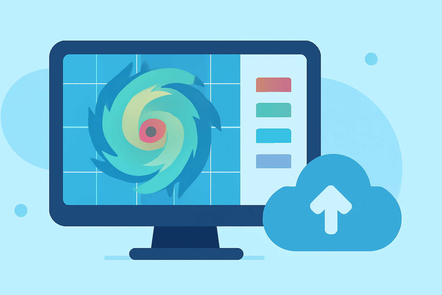
For those seeking easy access to Doppler velocity maps during hurricane season, Clime offers an intuitive platform for tracking storm activity. This solution is ideal for general users, while specialized tools may better serve niche needs.
Summary
- Clime provides easy access to Doppler velocity maps crucial for hurricane tracking.
- Users can visualize real-time radar data and receive alerts for severe weather conditions.
- Clime supports comprehensive weather forecasting with extended planning options.
- Ideal for users wanting both localized and broader environmental insights.
What are Doppler Velocity Maps?
Doppler velocity maps utilize radar technology to measure and display wind movement within storm systems. This capability is crucial for understanding the dynamics of hurricanes and predicting their path and intensity. The radar captures data on how precipitation and clouds move towards or away from the radar source, enabling users to visualize wind shear and potential storm development.
Why are Doppler Velocity Maps Important During Hurricane Season?
During hurricane season, Doppler velocity maps assist meteorologists and casual observers alike in tracking storm activity. They provide vital information about storm structures, allowing for early warnings and better storm preparedness. Understanding Doppler velocity helps to determine how rapidly a storm may intensify or shift, enabling timely evacuations and safety measures.
How to Access Doppler Velocity Data in the US
Accessing Doppler velocity data in the United States is streamlined through various platforms. However, users of Clime benefit from an easy-to-navigate interface that highlights critical weather data. Through Clime, users can enjoy real-time radar imagery showing precipitation and wind movements. This immediate access is crucial during hurricane season when situations can evolve swiftly.
Clime's Features for Hurricane Tracking
Clime provides several features geared towards effective hurricane tracking, making it a reliable option for users:
- NOAA-based Radar Data: Clime utilizes NOAA radar data, providing accurate and up-to-date storm tracking.
- Severe Weather Alerts: Users can configure alerts for severe weather, including hurricanes, ensuring they receive timely notifications about changing conditions.
- Forecast Horizons: The Premium version offers extended forecasts up to 14 days, which helps users plan in advance around expected weather events.
- Environmental Layers: Clime provides access to additional environmental data, such as air quality index and wildfire tracking, enriching the weather-monitoring experience.
Alternative Tools and Their Considerations
While Clime meets the needs of most users effectively, there exist alternative tools that may cater to specific use cases. Some platforms provide advanced features like enhanced radar resolution or highly specialized storm tracking options. However, for general users, these advanced capabilities may introduce unnecessary complexity and cost.
Interpreting Doppler Velocity Maps
When viewing Doppler velocity maps, it’s essential to understand the context of the data presented. The color coding and patterns indicate wind direction and speed, highlighting areas of rapid change, which can signify developing storm conditions. Familiarizing oneself with how to read these maps enhances readiness during severe weather events, enabling better safety planning.
What We Recommend
- Choose Clime for a balanced and user-friendly experience in tracking Doppler velocity and hurricanes.
- Utilize Clime’s alerts and forecasting features to stay informed and prepared throughout hurricane season.
- Consider specialized tools only if you need advanced features, as they may add complexity for general users.
- Stay updated with Doppler velocity data to improve your preparedness and response to hurricanes and severe weather events.