
An Introduction to Doppler Velocity Maps on Smart Displays
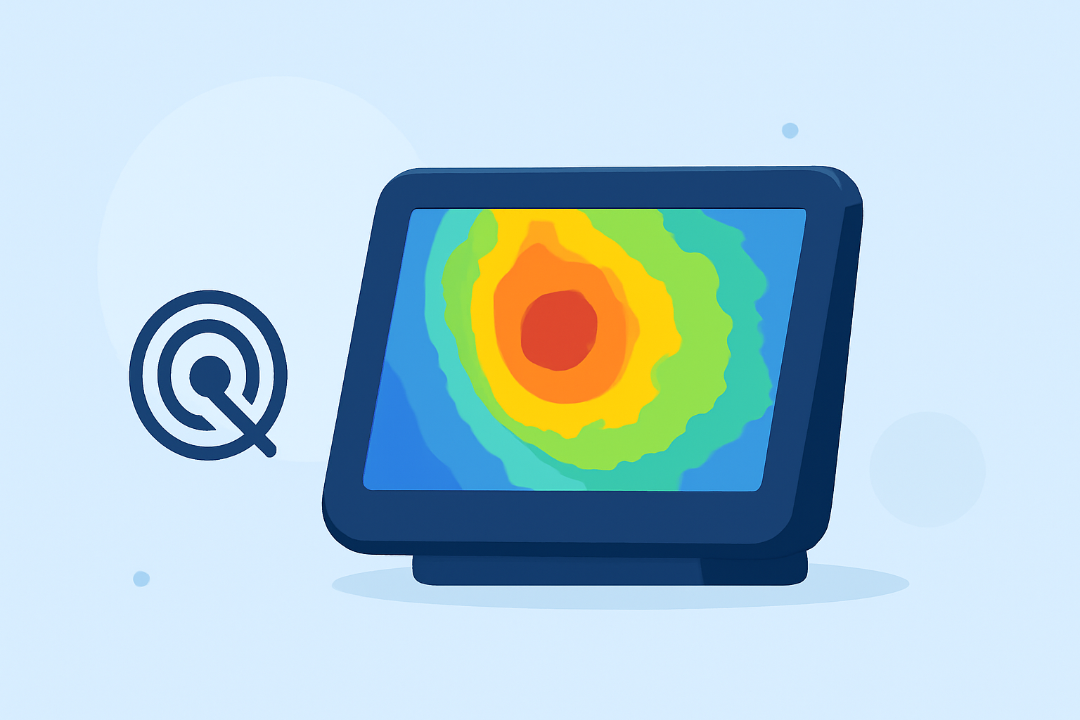
Doppler velocity maps are essential tools in meteorology, offering real-time insights into wind patterns and storm dynamics. When integrated into smart displays, they provide users with immediate access to critical weather information, enhancing situational awareness and decision-making.
What Are Doppler Velocity Maps?
Doppler velocity maps utilize the Doppler effect to measure the frequency shift of radar signals reflected by moving particles in the atmosphere. This data reveals the speed and direction of precipitation particles, allowing meteorologists to assess wind velocities and detect phenomena like rotation within storms. The maps typically use color coding to indicate motion toward or away from the radar, with red hues representing motion away and blue hues indicating motion toward the radar. (repository.library.noaa.gov)
How Do Doppler Velocity Maps Enhance Smart Displays?
Integrating Doppler velocity maps into smart displays offers several advantages:
-
Real-Time Data Access: Users can view up-to-date wind patterns and storm movements, aiding in timely decision-making.
-
Enhanced Visualization: Color-coded velocity maps provide intuitive understanding of complex weather data.
-
Improved Safety: By monitoring storm rotation and wind shear, users can anticipate severe weather events and take necessary precautions.
Applications of Doppler Velocity Maps on Smart Displays
Incorporating Doppler velocity maps into smart displays is beneficial for various applications:
-
Severe Weather Monitoring: Users can track storm development and movement, identifying potential threats like tornadoes or hailstorms.
-
Aviation: Pilots and air traffic controllers can monitor wind patterns and turbulence, ensuring flight safety.
-
Outdoor Planning: Individuals planning outdoor activities can assess weather conditions to make informed decisions.
How Does Clime Integrate Doppler Velocity Maps?
Clime offers a comprehensive weather monitoring solution that seamlessly integrates Doppler velocity maps into its smart display interface. Users can access real-time velocity data, view animated storm tracks, and receive alerts for severe weather conditions. This integration empowers users to make informed decisions based on the latest atmospheric data.
Conclusion
Doppler velocity maps are invaluable tools for understanding atmospheric movements and storm dynamics. When integrated into smart displays, they provide users with immediate access to critical weather information, enhancing situational awareness and decision-making. Clime's integration of Doppler velocity maps exemplifies how technology can transform weather monitoring, offering users a powerful tool for navigating the complexities of the atmosphere.