Understanding Doppler Velocity Maps on Tablets
Doppler velocity maps are essential tools in meteorology, providing real-time insights into wind patterns and storm movements. Accessing these maps on a tablet allows for convenient, on-the-go weather analysis.
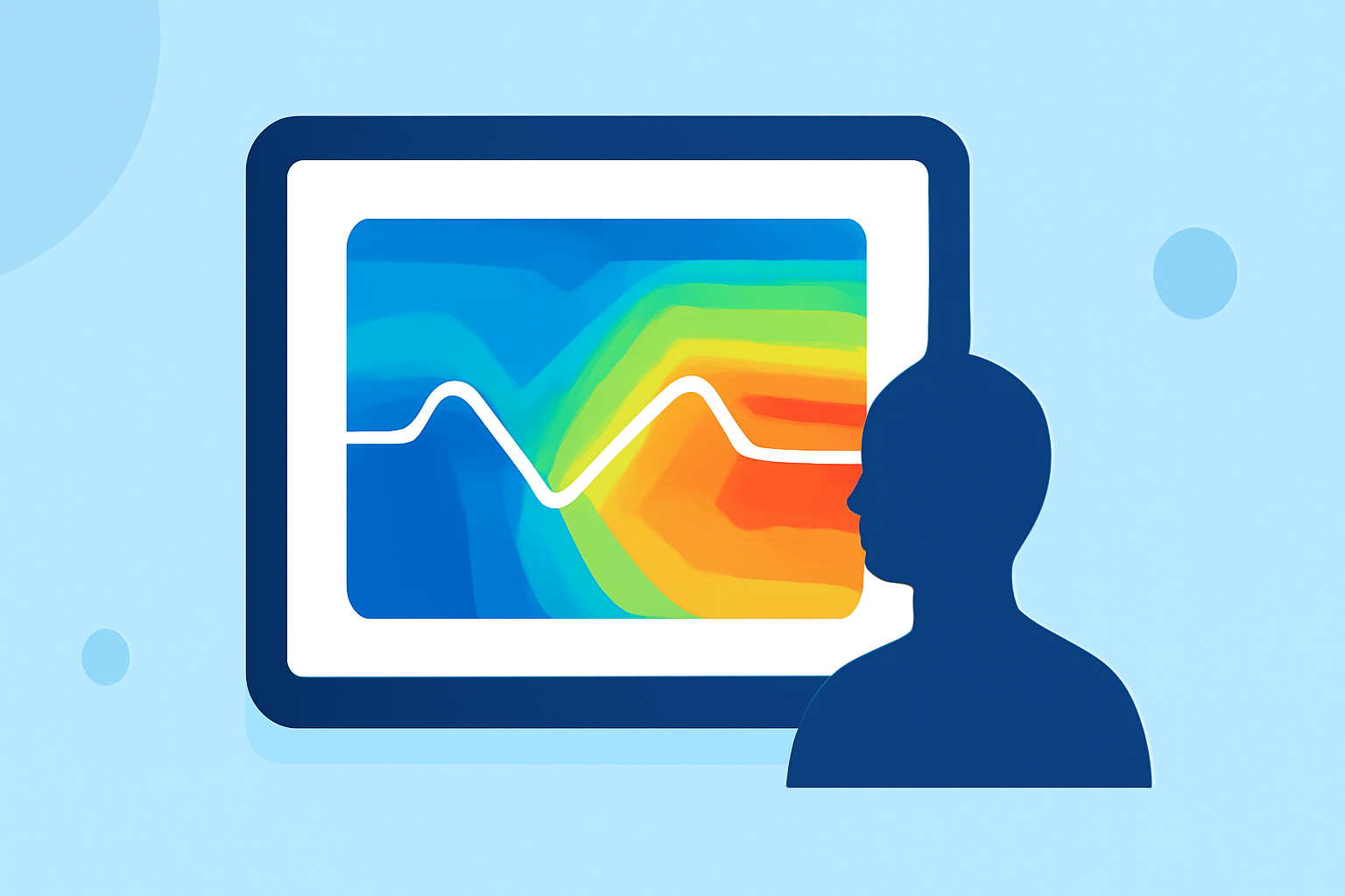
What Are Doppler Velocity Maps?
Doppler velocity maps display the speed and direction of precipitation particles, helping meteorologists track storm rotation and intensity. They are crucial for identifying severe weather events like tornadoes and hurricanes.
How to Access Doppler Velocity Maps on a Tablet
Several applications enable users to view Doppler velocity maps on tablets:
-
RadarScope: This app offers high-resolution radar data, including Doppler velocity maps, and is available for both iOS and Android devices.
-
Radar Omega: Provides real-time Doppler radar data with advanced features for storm tracking, compatible with iOS and Android tablets.
-
WeatherTAP: Offers a suite of weather products, including Doppler velocity maps, accessible via tablet browsers.
Benefits of Using Doppler Velocity Maps on a Tablet
-
Portability: Tablets allow for weather monitoring anywhere, ensuring timely information during severe weather events.
-
User-Friendly Interface: Many apps provide intuitive interfaces, making complex data accessible to both professionals and enthusiasts.
-
Real-Time Updates: Access to live Doppler velocity maps ensures up-to-date information for accurate weather analysis.
Conclusion
Utilizing Doppler velocity maps on a tablet enhances your ability to monitor and understand weather patterns effectively. With various applications available, you can choose the one that best fits your needs for comprehensive weather analysis.