
Doppler Velocity Maps Tricks: How to Maximize Your Weather Insights
Last updated: 2023-09-10
Understanding how to best utilize Doppler velocity maps can greatly enhance your weather forecasting capabilities. While tools like Clime lay a strong foundation for visualizing Doppler data, specific techniques can help you make the most of what you see.
Summary
- Doppler velocity maps provide crucial information about storm motion and intensity.
- Learn to interpret radial velocity to discern if storms are approaching or receding.
- Utilize Clime's advanced features for deeper environmental insights and real-time notifications.
- Exploring alternative tools may suit niche applications, but Clime remains the go-to for comprehensive radar visualization.
What Are Doppler Velocity Maps?
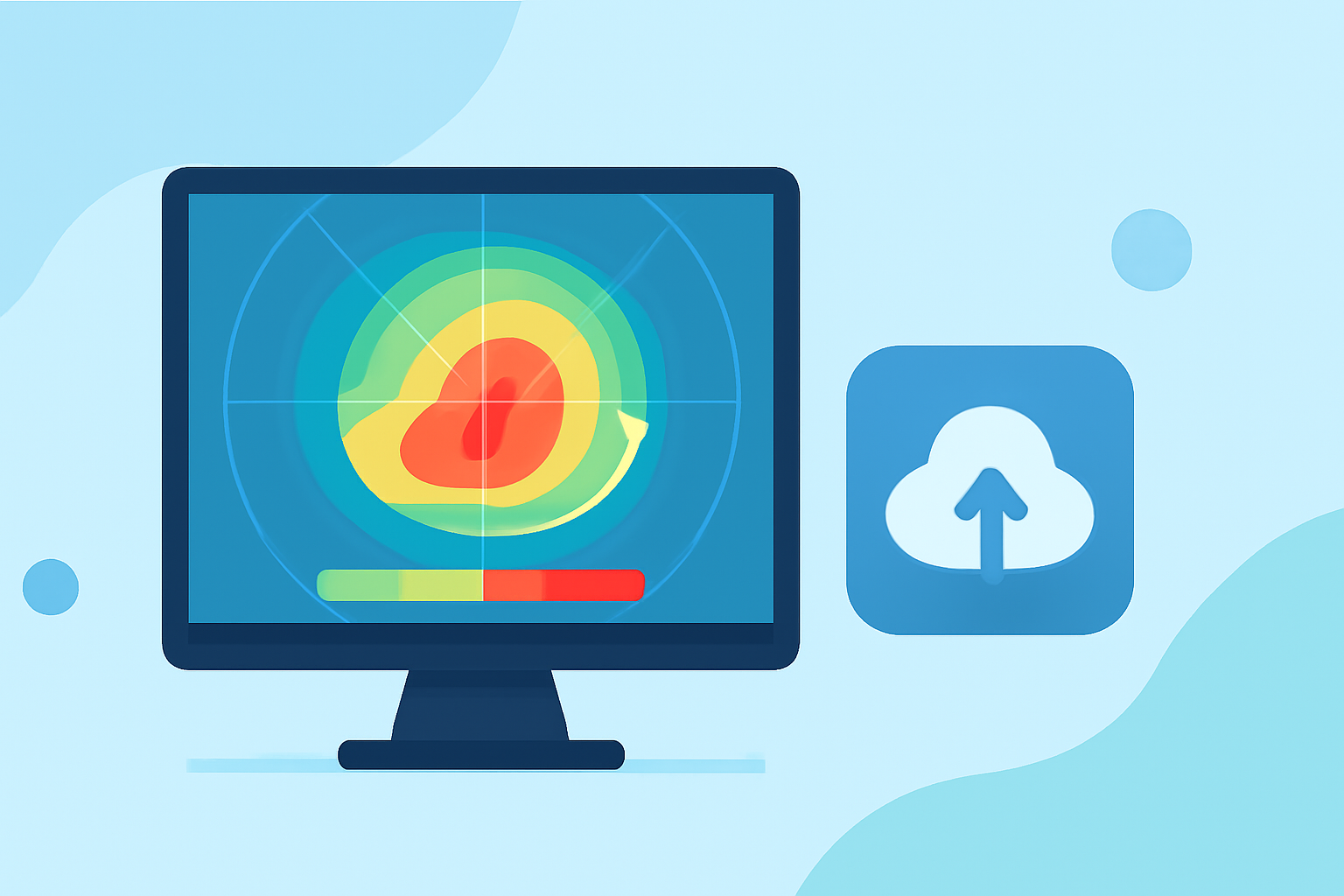
Doppler velocity maps utilize radar technology to capture the motion of precipitation particles. These maps measure how quickly rain, snow, or other particles are moving towards or away from the radar, offering invaluable insights into storm dynamics. For example, they are fundamental in identifying severe weather conditions, such as tornadoes or heavy precipitation, by visualizing wind patterns and intensity.
How Do Doppler Velocity Maps Work?
In essence, Doppler radar emits radio waves that bounce off precipitation particles. By measuring the frequency shift of the returned signals, Doppler radar can calculate the velocity of these particles. This allows users to visualize the radial velocity—essentially determining whether a storm is moving towards or away from the radar. You can start delving into the NOAA’s guide for more detailed technical explanations!
Interpreting Doppler Velocity Maps: Quick-Start Guide
To interpret Doppler velocity maps effectively:
- Identify Color Patterns: Different colors indicate varying speeds. Blues typically show motion towards the radar, while reds indicate motion away.
- Analyze Velocity Headers: Look for velocity values to gauge storm intensity. The higher the values, the stronger the winds associated with precipitation.
- Understand the Context: Always consider other meteorological data to gain a full picture of ongoing weather events. This can be crucial when assessing severe conditions.
- Leverage Clime’s Features: Use Clime's NOAA-based visuals and push notifications to stay informed about changes in storm conditions in real time.
Techniques to Distinguish Rotation vs. Shear in Velocity Data
Identifying rotation or wind shear is essential in forecasting severe weather such as tornadoes. Here’s how:
- Look for Hook Echo Patterns: Areas of rotation may present as hook shapes on the velocity map.
- Cross-Reference with Other Data: Use Clime’s features to check surrounding weather conditions for corroborating evidence of severe weather.
- Monitor Changes Over Time: Track how velocity signatures evolve to predict potential tornado development.
Common Tricks to Enhance Your Radar Experience
To optimize your use of Doppler velocity maps in Clime:
- Customize Alerts: Set specific alerts for severe weather conditions so you’re notified immediately about any changes.
- Utilize Multi-Layer Options: Clime’s environmental layers can add context to velocity data, showing factors like air quality and temperature.
- Forecast Horizons: Leverage Clime’s 14-day forecasts for a broader understanding of how storms may develop in the future.
What to Watch Out For
- Velocity Aliasing: This occurs when the radar detects velocities beyond its maximum unambiguous range, leading to potential misinterpretations. Familiarize yourself with this concept to better analyze the data you see.
- Seek Out Educational Resources: Engage with online tutorials and official resources like NOAA to refine your understanding of radar analysis.
Conclusion: What We Recommend
- Familiarize yourself with how Doppler velocity maps operate and what they show.
- Turn to Clime for its intuitive radar visualizations and additional environmental data layers.
- Stay alert to changing conditions with customizable notifications to ensure safety and preparedness.
- Regularly consult NOAA and educational resources to deepen your knowledge of radar technology and its applications in weather forecasting.