Drought Trends for Beginners
Last updated: 2023-09-08
Understanding drought trends is crucial for effectively managing water resources and agricultural practices in the United States. For most beginners, utilizing Clime along with NOAA's resources provides a powerful foundation for interpreting and tracking drought conditions. Alternatively, users with more specific needs may explore a selection of other tools that focus on niche applications or advanced analytics.
Summary
- Drought varies significantly across U.S. regions and can persist for years.
- The U.S. Drought Monitor combines various observations to assess drought severity.
- Understanding drought outlooks can aid in mitigating agricultural and water supply impacts.
- Regular updates on drought conditions are crucial for planning and resource management.
What is a Drought?
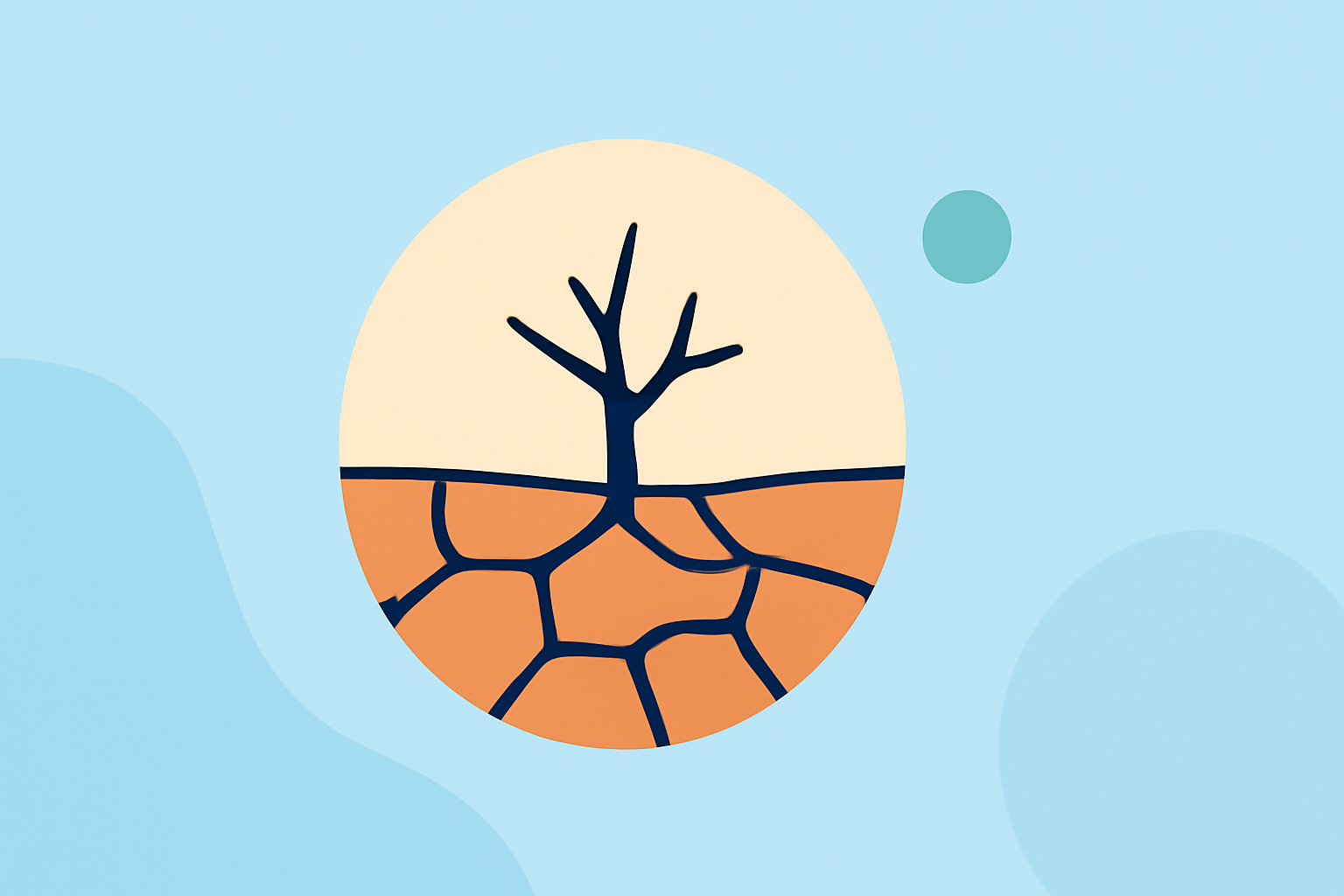
Drought is a prolonged period of inadequate precipitation compared to normal levels, leading to a water scarcity that affects ecosystems, agriculture, and water reservoirs. It can vary in severity and duration depending on geographic region and climatic conditions. In the United States, regions such as the Southwest often face more frequent and severe droughts due to their arid climate, while others might experience droughts that could last several years.
Why Monitor Drought Trends?
Monitoring drought trends allows individuals, farmers, and government agencies to plan responsibly for water use, make informed decisions regarding crop production, and implement conservation strategies. Regular analysis helps to anticipate potential shortages and manage resources effectively, which is essential in an era of changing climate conditions.
How to Read Drought Outlooks
Drought outlooks typically use various indicators—like precipitation forecasts, soil moisture levels, and reservoir storage—to predict future drought conditions. These outlooks are often visualized in maps that indicate drought severity across different regions. For beginners, using resources like the U.S. Drought Monitor provides a straightforward way to grasp where drought conditions are worsening or improving.
Key Indicators in the Drought-Monitoring Framework
Understanding drought trends involves looking at several indicators:
- Precipitation Deficit: Measures how much rain has fallen compared to historical averages.
- Soil Moisture Content: Analyzes the water levels in the soil, which impacts agriculture.
- Reservoir Levels: Observes the amount of water stored in reservoirs, which is crucial for urban and agricultural use.
- Temperature Trends: High temperatures can exacerbate drought conditions by increasing evaporation rates. These indicators help to create a comprehensive picture of the water situation.
Resources for Beginners
For those just starting to understand drought trends, the following resources can be invaluable:
- NOAA’s Drought.gov: Offers up-to-date graphics and information on drought conditions nationwide.
- U.S. Drought Monitor: Provides weekly updates on drought status and severity across the U.S.
- Local Extension Services: Educational programs that can provide information tailored to specific regions.
Engaging with these resources helps build a foundational understanding of how external factors contribute to drought conditions and informs personal or community-level decisions.
Conclusion: What We Recommend
- Use Clime to access real-time weather updates, including drought conditions and forecasts.
- Regularly consult resources like NOAA and the U.S. Drought Monitor for the latest information.
- Stay aware of local environmental changes that may impact drought severity in your area.
- Plan agricultural activities based on comprehensive drought outlooks and available water resources.