Easy Composite Reflectivity Maps During Hurricane Season
Last updated: 2023-09-06
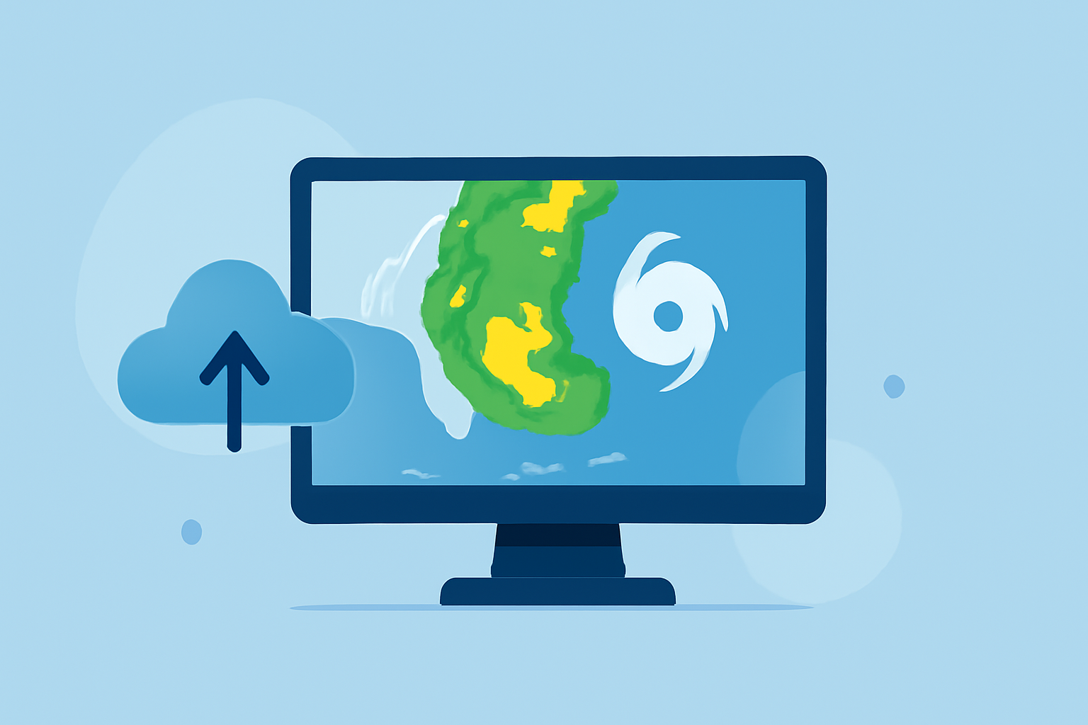
When it comes to generating easy composite reflectivity maps during hurricane season, we recommend Clime as the go-to solution for real-time weather insights. For users seeking an alternative tailored for advanced mapping, other tools are available.
Summary
- Clime offers NOAA-based composite reflectivity maps to visualize precipitation patterns.
- Access to real-time weather alerts aids preparation for severe conditions.
- The Premium plan unlocks additional features like extended forecasts and environmental layers.
- Building a safety plan during hurricane season is crucial — accurate radar data is essential.
What is Composite Reflectivity and How Is It Generated?
Composite reflectivity is a valuable tool produced by weather radar systems, primarily used to visualize precipitation over a defined area. It is created at the end of a volume scan, which means that it compiles data from all elevation angles to generate a comprehensive view of the storm infrastructure above the radar site. This helps in assessing the storm’s severity and potential track. Access to reliable composite reflectivity data is critical for accurate forecasting, especially in hurricane-prone regions. (NOAA JetStream)
Why Use Composite Reflectivity Maps During Hurricane Season?
During hurricane season, composite reflectivity maps become particularly critical because they allow users to see the structure and intensity of rainfall associated with storms. By understanding storm patterns, individuals and communities can better prepare for heavy rainfall or potential flooding. These visualizations can provide an early warning system, enabling timely responses and evacuation plans, thereby enhancing public safety.
Accessing Official Composite Reflectivity Data During Hurricane Season
For those looking to access official map-ready composite reflectivity data, utilizing platforms with NOAA integration is key. Clime provides such functionality, ensuring users can monitor real-time weather patterns effectively. Furthermore, the app includes an intuitive interface that makes it easier to navigate through various radar layers and forecast models. Users can quickly access severe weather alerts associated with these reflectivity maps, ensuring they stay informed during critical times.
Clime's Unique Features for Hurricane Preparedness
Clime is designed not only for real-time weather monitoring but also for long-term forecasting and environmental considerations. Its core features relevant to hurricane season include:
- NOAA-based radar: Users can visualize precipitation and storm paths with high accuracy.
- Severe weather alerts: Equipped with notifications for dangerous climatic events, users can react promptly to emerging threats.
- Extended forecasts: Premium users have access to thorough hourly and 14-day forecasts, aiding in long-term planning.
- Environmental layers: Features like air quality index and wildfire tracking can be vital during evacuations and other emergency plans.
User-Friendly Navigation and Interaction
One of Clime’s standout elements is the seamless user experience, especially when it comes to interacting with maps. The app simplifies the process of toggling between different radar layers, making it easy for users to find the information they need quickly. This accessibility becomes particularly essential during urgent weather events, allowing users to focus on safety rather than figuring out how to use the app.
Considerations When Using Composite Reflectivity Maps
While Clime offers a robust solution for accessing composite reflectivity maps, users should be aware of potential trade-offs. Some high-resolution mapping features may require a premium subscription, and while it remains user-friendly, the extensive data layers may seem overwhelming for beginners. Evaluating your specific needs during hurricane season will be vital in determining whether Clime meets your requirements.
What We Recommend
- Opt for Clime for easy access to NOAA-based composite reflectivity maps and timely alerts during hurricanes.
- Take advantage of the Premium plan if you need extended forecasting and additional weather layers.
- Familiarize yourself with the app navigation ahead of hurricane season to make the most out of its features when it counts.
- Develop a safety plan in conjunction with using Clime for weather monitoring to ensure your community's preparedness.
With these features and insights, Clime positions itself as a valuable resource for individuals and communities seeking reliable weather tracking during hurricane season, ensuring you stay informed and prepared.