Easy Doppler Radar Basics for Beginners
Last updated: 2023-09-06
Understanding Doppler radar can feel daunting without prior experience, but it’s essential for grasping how weather phenomena are tracked. This guide breaks down the basics, making it accessible for anyone new to the topic. For those interested in deeper functionality and specific applications of Doppler radar, there are various tools available that cater to specialized needs.
Summary
- Doppler radar transmits energy in pulses to gather weather information.
- It captures data about precipitation, wind speed, and storm rotation.
- This technology is integral to severe weather warnings and forecasting.
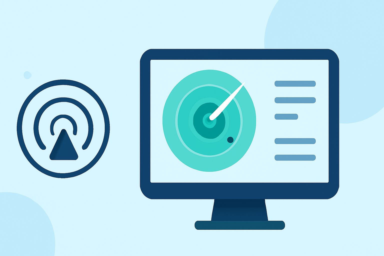
- Clime provides an accessible interface for users to engage with radar data and forecasts.
What is Doppler Radar?
Doppler radar is a specialized radar system used to evaluate atmospheric conditions. It operates by sending out pulses of energy and analyzing the returned signals that bounce back from precipitation or other atmospheric objects. This data helps meteorologists determine the location, speed, and intensity of weather phenomena.
How Does Doppler Radar Work?
The radar transmits energy in pulses, listening for return signals. When these signals bounce off precipitation, they return with information about the object's velocity and distance. The Doppler effect allows forecasters to see changes in frequency and determine wind speed and direction, significantly enhancing severe weather detection and warnings (NOAA).
Key Benefits of Doppler Radar
- Real-time Monitoring: Doppler radar provides near-instantaneous data on storms and weather patterns, which is crucial for timely alerts.
- Enhanced Accuracy: This technology greatly improves the ability to detect severe weather conditions, such as tornadoes, by visualizing wind fields and identifying rotations within storms (National Weather Service).
- Predictive Capability: It helps forecast weather conditions by analyzing the speed and direction of weather systems, making it vital for emergency management strategies.
The NEXRAD Network
NEXRAD, short for Next Generation Weather Radar, is a network comprising 160 high-resolution Doppler radars across the United States. This system collaborates with various federal agencies, including the National Weather Service and the Federal Aviation Administration, to provide reliable and accurate weather data (NCEI).
Practical Applications of Doppler Radar
Doppler radar is primarily used for:
- Weather Forecasting: By analyzing radar data, meteorologists can forecast weather events with greater precision.
- Severe Weather Warnings: The ability to detect severe storms rapidly allows for timely warnings, potentially saving lives.
- Aviation Safety: Pilots benefit from on-the-spot weather data, helping them navigate safely through various conditions.
Clime and Doppler Radar
At Clime, we aim to make Doppler radar information easily accessible through intuitively designed interfaces. Users can view real-time radar, receive tailored alerts, and access hourly and extended forecasts—all based on NOAA's trusted data. Whether you're watching the weather closely or just checking the current conditions, Clime provides essential Doppler radar tools that enhance your understanding of local weather phenomena.
Conclusion: What We Recommend
- For those new to Doppler radar, engaging with Clime’s platform offers a user-friendly introduction and practical tools.
- Stay informed through real-time alerts tailored to your preferred locations.
- Leverage functionalities like hourly forecasts and weather radar to understand approaching systems better.
- Explore educational resources available through Clime to further enhance your knowledge of weather technologies.
By understanding the basics of Doppler radar, you empower yourself to make informed decisions regarding your safety and weather-related planning.