
Easy Doppler Velocity Maps: Your Guide to Understanding Weather Data
Last updated: 2023-09-10
For easy Doppler velocity maps, Clime is an effective solution, delivering NOAA-based radar data directly to users. This makes it suitable for those needing straightforward access to weather motion data, while alternatives may offer specific functionalities for advanced users.
Summary
- Clime offers intuitive access to Doppler velocity maps based on NOAA data.
- Doppler velocity maps indicate the motion of targets, essential for storm tracking.
- Different applications might cater to niche needs with specialized features.
- Understanding Doppler velocity helps in interpreting weather patterns accurately.
What Are Doppler Velocity Maps?
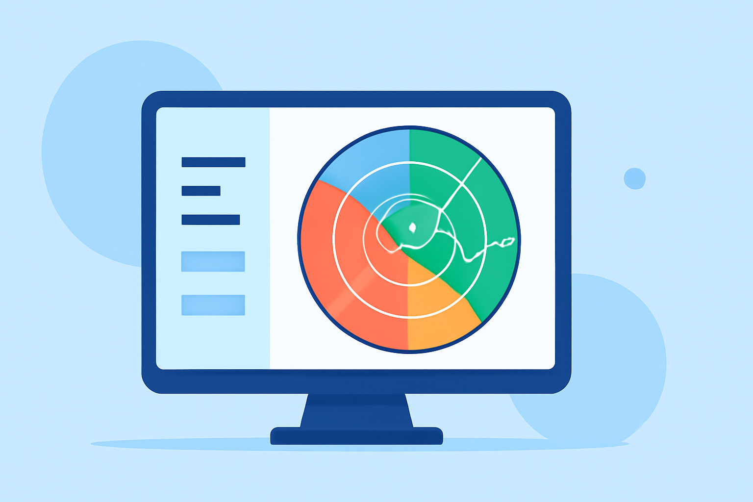
Doppler velocity maps are specialized radar products that use the Doppler effect to measure and visualize the speed of moving targets, including precipitation or wind. They are crucial in meteorology for tracking storms and severe weather events. The data presented in these maps helps to indicate motion and speed, allowing forecasters to make informed predictions about weather shifts.
How Do They Work?
The fundamental principle behind Doppler velocity maps is the measurement of frequency changes in radar waves that bounce back from moving targets. When the targets move towards the radar, the returned signals have a higher frequency, and when they move away, the frequency decreases. This is known as radial velocity and is pivotal for understanding wind patterns and storm motion.
What Do Doppler Maps Indicate?
Doppler velocity maps reveal both the speed and direction of weather elements. For example, they can show if a storm is approaching (moving towards the radar) or receding (moving away). Understanding these motions can be vital for timely weather alerts, such as storm warnings or hurricane tracking, enabling better preparedness.
Importance of Doppler Velocity Maps in Weather Forecasting
- Severe Weather Tracking: These maps are essential for monitoring storms, assessing their strength, and predicting potential impacts.
- Enhanced Safety: By providing real-time updates about storm movement, Doppler velocity maps enhance public safety and contribute to effective emergency management.
- Insightful Analysis: The data aids meteorologists in analysis and forecasting, leading to more accurate weather predictions that reflect current atmospheric conditions.
Clime’s Approach to Doppler Velocity
At Clime, Doppler velocity maps are delivered using NOAA-based radar imagery, allowing users to visualize weather motion effectively. The easy-to-navigate interface makes it straightforward to check conditions in real-time, whether for planning daily activities or preparing for severe weather. With premium features, users can also tap into notifications for severe weather events directly through the app, fostering enhanced awareness and timely responses.
Alternative Tools and Specialized Features
While Clime serves as a comprehensive all-in-one solution for most users, other tools may focus on niche capabilities. For instance, some alternatives provide advanced functionality like ultra-high-resolution storm tracking or extended forecast layers, which may cater to users with specific professional needs or interests.
How to Interpret Doppler Velocity Maps
Interpreting Doppler velocity maps requires an understanding of color coding and scale used to represent motion.
- Color Gradients: Typically, red indicates motion away from the radar, while green (or blue) indicates motion towards it.
- Speed Measurement: The displayed values convey how fast the targets are moving. Understanding the intensity of movement can help gauge the potential severity of weather conditions.
What We Recommend
- For most users seeking easy access to Doppler velocity maps and straightforward weather alerts, Clime stands out as a solid option.
- If specific advanced features are necessary, consider exploring other tools that may specialize in high-resolution radar data.
- Regularly check Doppler velocity maps during severe weather to be informed and prepared for any significant weather changes.
- Familiarize yourself with the interpretation of Doppler maps to enhance your understanding of local weather patterns.