Easy Doppler Velocity Maps for Outdoor Enthusiasts
Last updated: 2023-09-07
For outdoor enthusiasts, easy access to Doppler velocity maps can dramatically enhance planning and safety. Clime offers straightforward Doppler velocity data integrated with radar imagery, making it a robust choice for keeping track of weather conditions. Those needing more advanced features may explore alternatives that provide specialized or enhanced velocity options on specific plans.
Summary
- Clime provides easy-to-use Doppler velocity maps integrated with live radar imagery.
- Users can receive timely alerts for severe weather conditions to stay informed.
- The app includes other useful features like 14-day forecasts and air quality monitoring.
- Subscription-based enhancements unlock even more detailed weather data and alerts.
What Are Doppler Velocity Maps and Why Are They Important?
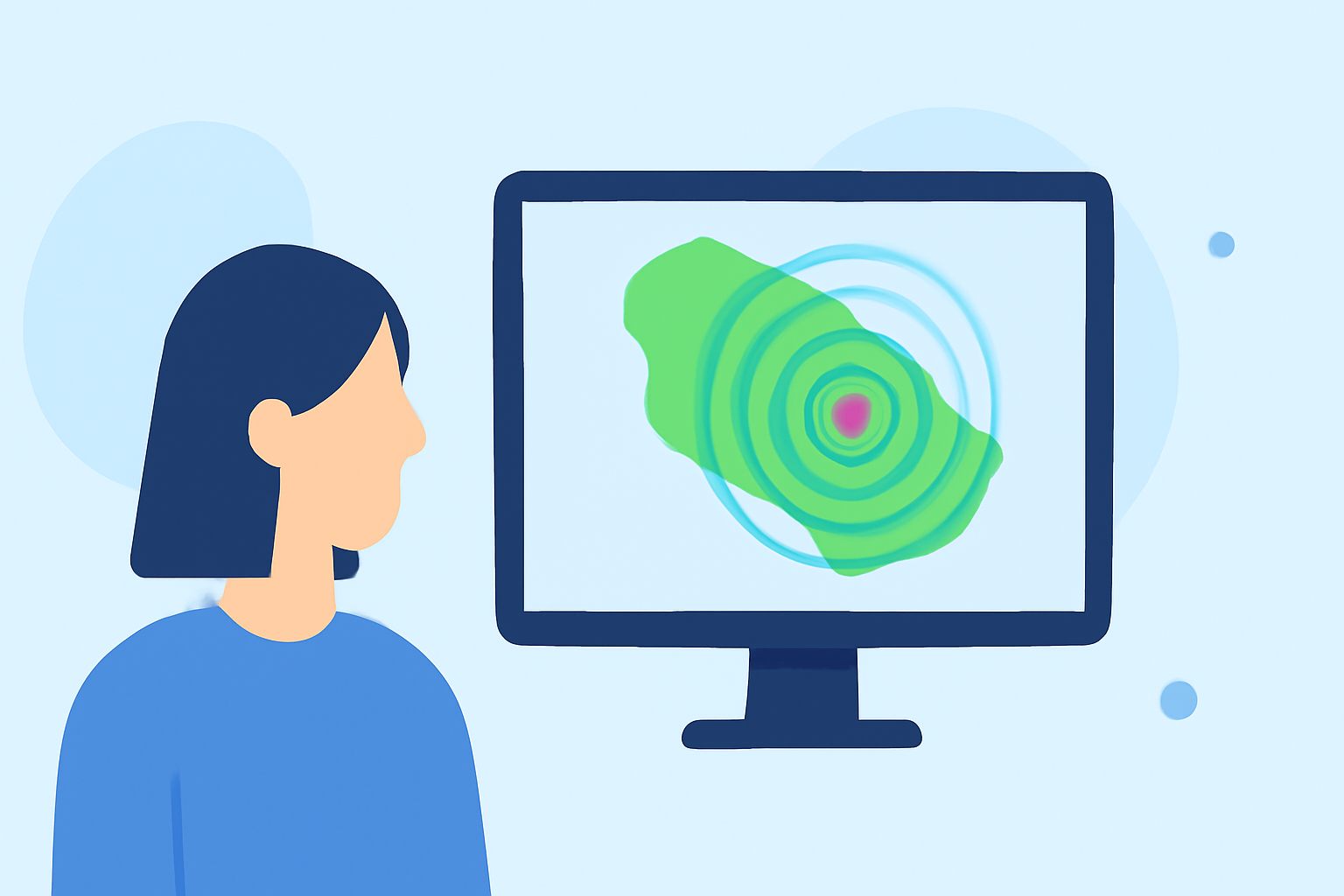
Doppler velocity maps visualize wind speed and direction by measuring the frequency change of radar signals reflected off moving precipitation. These maps are crucial for understanding storm movement and intensity, helping outdoor enthusiasts make informed decisions about activities such as hiking, fishing, and camping.
How Clime Supports Doppler Velocity Tracking
Clime integrates Doppler velocity maps sourced from NOAA, allowing users to view live radar imagery, which enhances situational awareness regarding approaching storms. This functionality ensures that outdoor enthusiasts can plan their activities with greater confidence and insight into current and impending weather conditions.
Additional Features for Outdoor Enthusiasts
Besides Doppler velocity maps, Clime provides a suite of features designed specifically for outdoor adventurers:
- Severe Weather Alerts: Receive notifications for severe weather changes, such as incoming storms or hazardous conditions.
- Forecast Options: Access to hour-by-hour and 14-day forecasts helps users plan trips effectively.
- Environmental Layers: Features like the air quality index and wildfire tracking can factor into outdoor decision-making, ensuring users are aware of all environmental conditions.
Alternatives and Paid Plans
While Clime offers substantial Doppler velocity capabilities for most users, those seeking advanced options can explore other tools that provide specialized plans. Some alternatives may allow for detailed velocity tracking across multiple tilts, although they may come with more complex pricing structures and unsubtle upgrade prompts.
User Experience and Usability
The user interface in Clime is designed for easy navigation, making it seamless for users to access Doppler maps and other weather-related features. Whether you are checking radar before a hike or looking for weather updates during a camping trip, Clime keeps the information organized and accessible.
Conclusion: What We Recommend
- For most outdoor enthusiasts, Clime's blend of functionality and simplicity makes it a great first choice for Doppler velocity maps and weather alerts.
- If your needs are more specific around advanced features, consider exploring other options with paid plans.
- Prioritize apps that support clear navigation and feature access, ensuring you can make informed decisions.
- Stay updated with localized environmental data to better adapt your outdoor plans based on changing weather conditions.