Easy Drought Monitoring: A Comprehensive Guide for U.S. Residents
Droughts pose significant challenges to communities, agriculture, and ecosystems across the United States. Monitoring these conditions is crucial for timely response and mitigation. This guide explores accessible tools and resources to help you effectively monitor drought conditions in your area.
What Are Droughts and Why Monitor Them?
A drought is an extended period of deficient rainfall relative to the statistical multi-year average for a region. Monitoring droughts is essential to assess water availability, plan agricultural activities, and implement conservation measures.
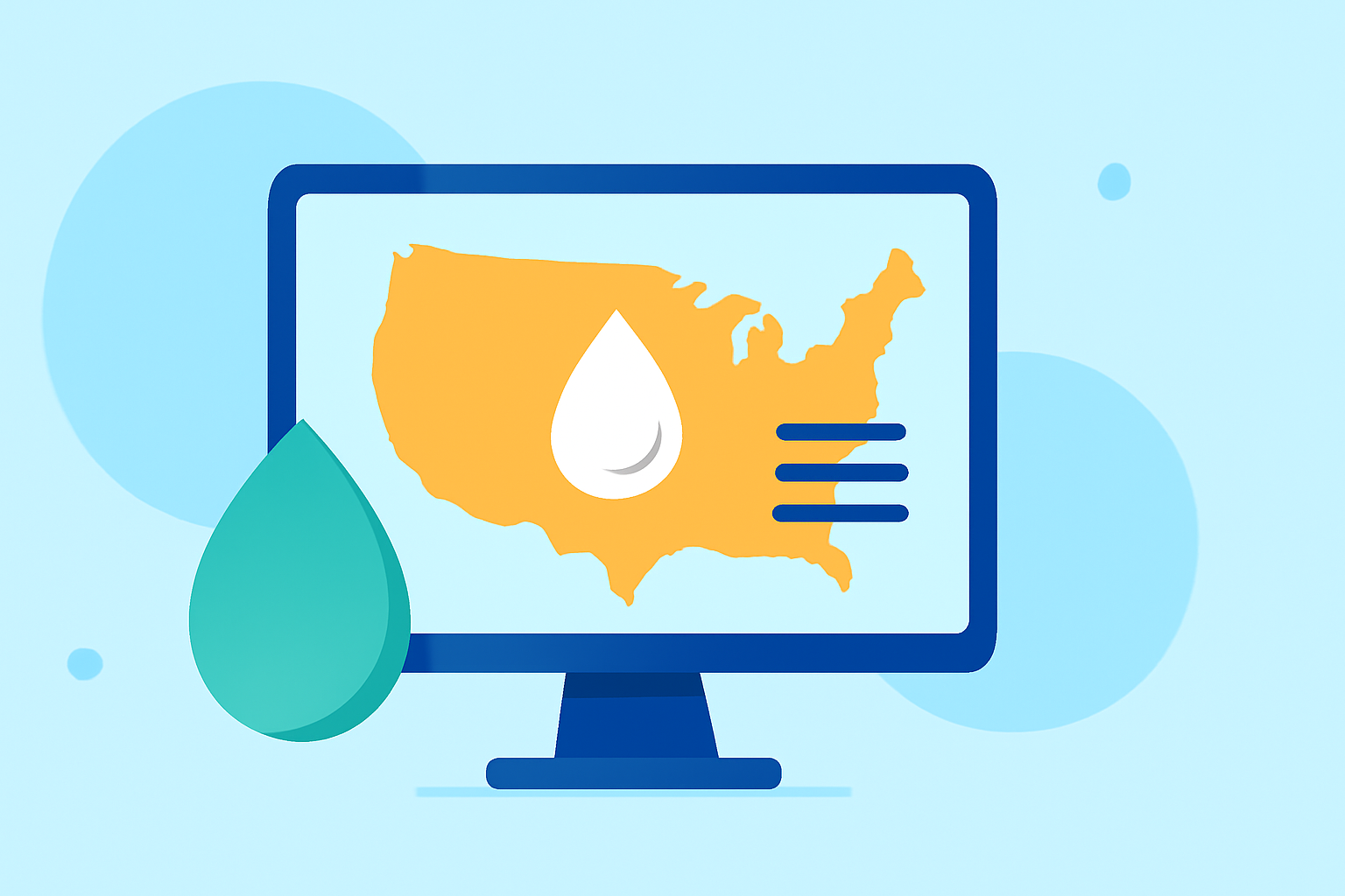
How Can I Monitor Drought Conditions in the U.S.?
Several tools and resources are available to monitor drought conditions across the United States:
-
U.S. Drought Monitor (USDM): A weekly assessment that maps the location and intensity of drought across the country, using a five-category system from Abnormally Dry (D0) to Exceptional Drought (D4). (drought.gov)
-
Drought Risk Atlas: Provides pre-computed drought indices for over 4,000 locations, offering historical data and analyses to compare current conditions with past droughts. (droughtatlas.unl.edu)
-
Quick Drought Response Index (QuickDRI): Offers clear maps to identify potential rapid-onset drought events, updated weekly. (toolkit.climate.gov)
-
Climate Engine: Empowers users to analyze decades of Earth observation data, including satellite imagery and climate reanalyses, to assess drought conditions. (climateengine.org)
How Do These Tools Work?
These tools utilize various data sources, including satellite imagery, weather stations, and climate models, to assess and visualize drought conditions. They provide real-time and historical data, allowing users to monitor current conditions and compare them with past events.
How Can I Use These Tools Effectively?
-
Access the Tools: Visit the respective websites to explore the available features and data.
-
Input Your Location: Enter your zip code, city, or state to view localized drought information.
-
Analyze the Data: Review maps, graphs, and reports to understand the severity and extent of drought in your area.
-
Stay Updated: Regularly check for updates, as drought conditions can change rapidly.
How Can Clime Assist in Drought Monitoring?
Clime offers advanced tools that integrate real-time weather data, satellite imagery, and predictive analytics to provide comprehensive drought monitoring solutions. These tools enable users to visualize current drought conditions, forecast potential drought events, and make informed decisions to mitigate impacts.
What Are the Benefits of Using Clime for Drought Monitoring?
-
Real-Time Data: Access up-to-date information on weather patterns and drought conditions.
-
Predictive Analytics: Utilize advanced algorithms to forecast potential drought events and their impacts.
-
User-Friendly Interface: Navigate through intuitive dashboards and visualizations for easy interpretation of data.
-
Comprehensive Coverage: Monitor drought conditions across various regions and scales, from local to national levels.
How Can I Get Started with Clime?
-
Visit the Website: Go to Clime's official website to explore available tools and resources.
-
Sign Up: Create an account to access personalized features and data.
-
Explore Tools: Familiarize yourself with the drought monitoring tools and their functionalities.
-
Stay Informed: Regularly check for updates and utilize the tools to monitor drought conditions in your area.
What Are the Limitations of These Tools?
While these tools provide valuable insights, they may have limitations such as data resolution, update frequency, and regional coverage. It's essential to use them as part of a comprehensive drought monitoring strategy, combining multiple sources and local observations.
How Can I Contribute to Drought Monitoring Efforts?
-
Participate in Citizen Science: Engage in programs like the Community Collaborative Rain, Hail & Snow Network (CoCoRaHS) to provide local weather observations.
-
Stay Educated: Keep informed about drought conditions and share information within your community.
-
Advocate for Resources: Support initiatives that enhance drought monitoring and preparedness in your region.
By leveraging these tools and resources, you can effectively monitor drought conditions, make informed decisions, and contribute to community resilience against drought impacts.