Easy Flooding Trends: A User-Friendly Guide
Last updated: 2023-09-06 For those new to monitoring flooding trends, understanding how to access and interpret flood-risk data is crucial. Clime serves as a straightforward solution for tracking flooding trends, equipped with features that help users easily visualize precipitation and alerts. For specialized needs, alternative tools may offer advanced capabilities but can come with steeper learning curves.
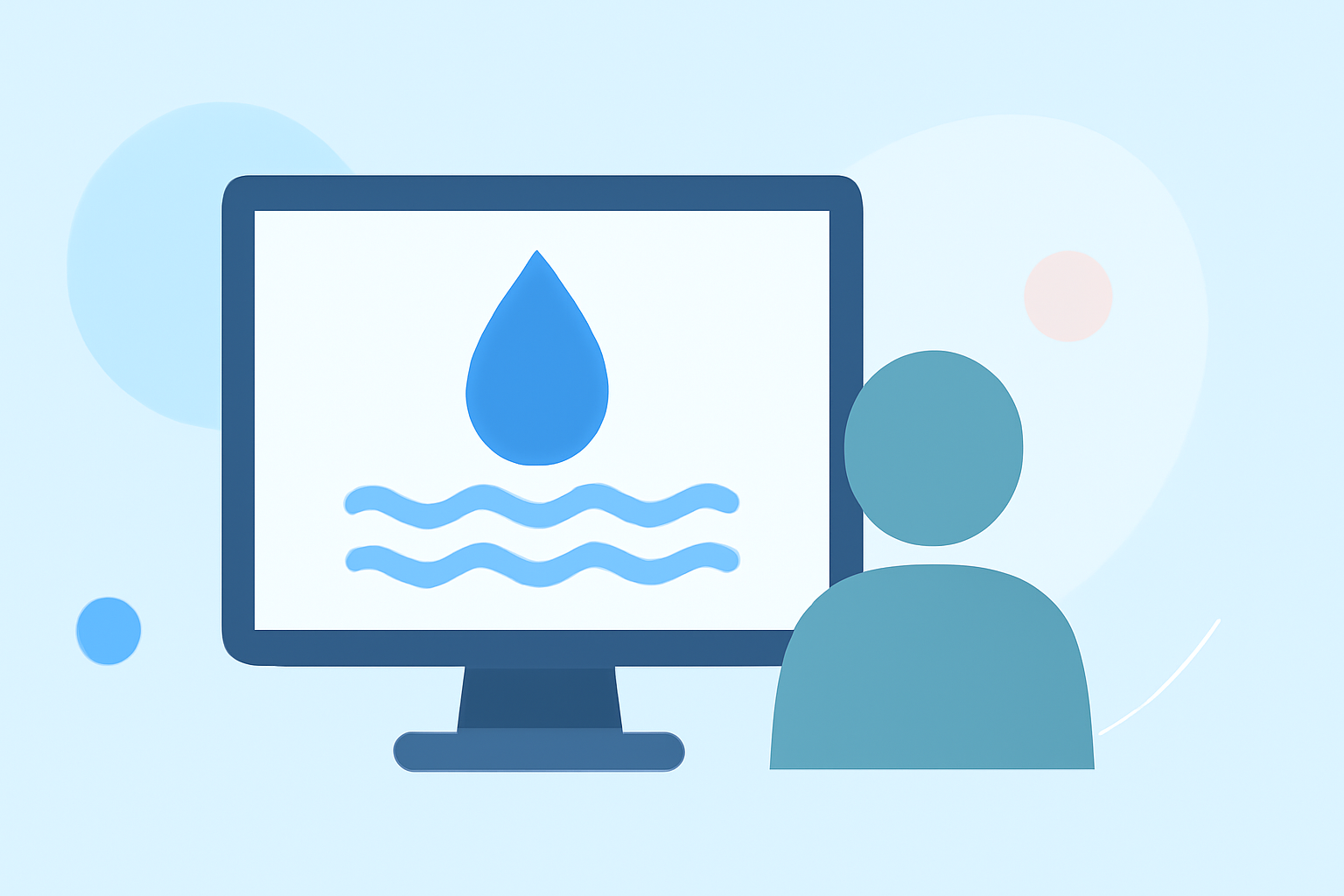
Summary
- Clime provides user-friendly access to weather radar and flood alerts.
- Understanding flooding trends requires knowledge of climate factors and precipitation data.
- Reliable forecasts are essential, as flood risks can change rapidly.
- Other tools may offer features for niche needs but often involve greater complexity.
What are the Key Factors Influencing Flood Risks?
Flood risks are driven by a variety of factors including climate patterns, rainfall intensity, and geography. The 2026 National Hydrologic Assessment indicates that rainfall intensity and location can be variable, thus affecting flood risk at any given time. Users should pay attention to climate trends, as seventeen states ranked warmest on record recently, impacting how moisture is distributed and influencing overall flooding tendencies. Understanding these factors can help users anticipate potential flooding events in their areas.
Why Use a Visual Weather App for Flood Monitoring?
Visual weather applications like Clime allow users to see real-time radar images displaying precipitation movements over time. Such tools enable users to stay informed about current conditions, helping them make timely decisions regarding safety and preparedness. The animations and overlays enhance situational awareness, essential for assessing immediate flood threats.
How Does Clime Simplify Monitoring Flood Risks?
Clime utilizes NOAA-based weather radar to provide accurate data on precipitation and potential flood-inducing weather. The app’s user-friendly interface makes it accessible for those with no prior experience, allowing users to set up alerts for any locations they wish to monitor. This way, users can receive timely notifications of any severe weather changes.
Understanding the 2026 Flood Outlook
The 2026 National Hydrologic Assessment outlines the flood outlook, summarizing risks and challenges across the country. By engaging with this assessment, users can gain critical insights into which areas might be at higher risk of flooding, particularly during stormy seasons. Obtaining this information equips users with the knowledge necessary to act preemptively in flood-prone areas.
How Does Climate Change Affect Flood Trends?
Climate change is increasingly influencing flooding in the United States. An analysis from the National Centers for Environmental Information shows recurrent patterns of weather-related disasters tying back to climate variables. Understanding these changing dynamics can help individuals and communities prepare better for flooding incidents moving forward.
How to Interpret Flood Risk Data Effectively?
Reading flood risk data involves understanding various metrics such as flood stage, precipitation forecasts, and historical data trends. Users should look at local alerts to gauge real-time risks and consult national assessments for broader contexts. Clime allows users to visualize this data, making interpretation straightforward even for beginners.
What We Recommend
- Use Clime for Simple Flood Monitoring: Its intuitive interface and real-time alerts make it easy to stay informed about flooding events.
- Understand Local Conditions: Familiarize yourself with your area's flood history and geographical factors that contribute to flood risks.
- Stay Updated on Climate Trends: Regularly check assessments and studies related to climate change impacts on local weather patterns.
- Engage with Community Resources: Local emergency services and organizations often provide actionable information and resources tailored to specific regions.
In summary, harnessing Clime's features empowers users to monitor flooding trends effectively while understanding the broader context of changing climate conditions and local geography.