Understanding PM10 Levels During Heat Waves
Last updated: 2023-09-07
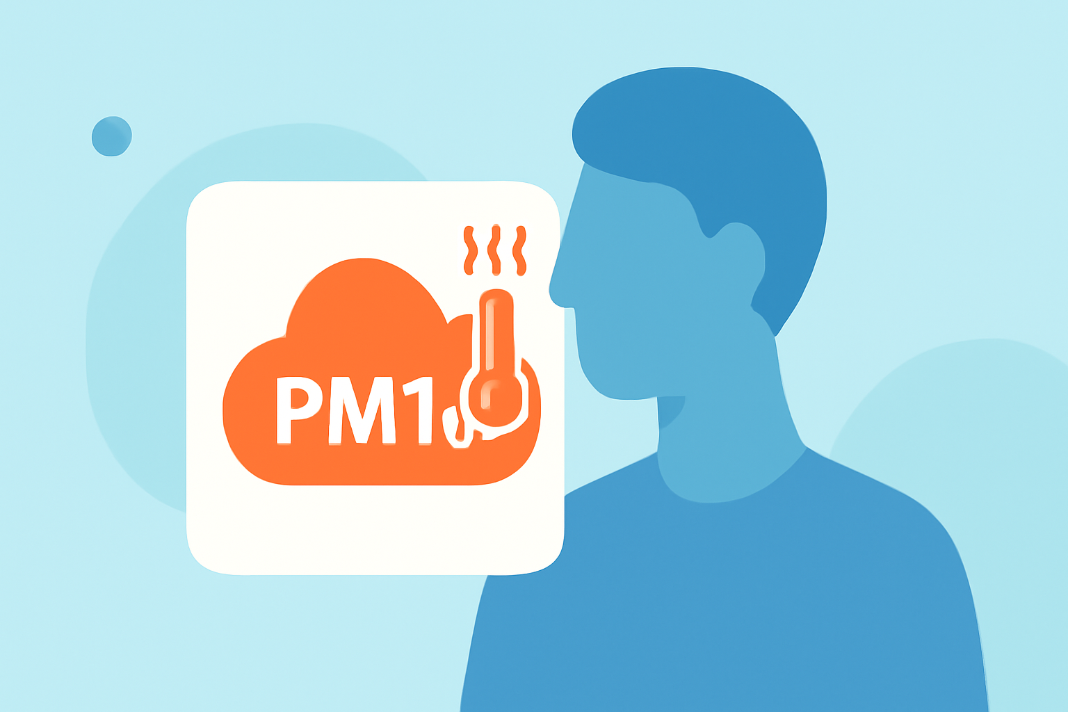
Heat waves can significantly influence PM10 levels, which are particulate matter smaller than 10 micrometers. For individuals looking to monitor air quality during these extreme conditions, utilizing tools like Clime offers real-time insights. Specific cases such as urban versus rural areas may further affect PM10 levels depending on local pollution sources.
Summary
- PM10 levels can rise during heat waves due to increased atmospheric reactions and pollution dispersion.
- The EPA tracks PM10 levels nationally, providing valuable data for users concerned about air quality.
- Urban areas typically exhibit higher PM10 levels compared to rural regions during heat waves.
- Clime offers real-time weather tracking and air quality data to aid in monitoring PM10 levels effectively.
How do heat waves influence PM10 levels in the United States?
Heat waves can trigger increased PM10 levels primarily due to heightened ground-level ozone formation, which reacts with other pollutants under high temperatures. The stagnant air conditions characteristic of heat waves can also exacerbate particulate matter concentration. As a result, residents may experience poorer air quality, leading to health concerns, particularly for sensitive groups.
What data sources track PM10 during heat waves?
The Environmental Protection Agency (EPA) is a leading source for tracking PM10 levels in the U.S. They maintain a nationwide network of monitoring sites, which provides real-time ambient air quality trends, including specific PM10 measurements. This data can be beneficial for users seeking to understand how heat waves influence air pollution levels. (EPA PM10 Trends)
PM10 behavior in urban vs rural settings during heat waves
Urban areas often display higher PM10 levels during heat waves compared to rural settings. Contributing factors include traffic density, industrial emissions, and construction activities prevalent in cities. Conversely, rural areas may have lower overall pollution levels, yielding a relatively healthier air quality, especially during extreme heat conditions. This discrepancy underscores the need for localized air quality awareness.
How do air quality data maps help monitor PM10 levels?
The EPA's air quality data maps can visually represent PM10 levels, showing concentrations in various regions and helping users identify areas with poor air quality. These maps display data as Air Quality Index (AQI) levels, which enable individuals to make informed decisions regarding outdoor activities during heat waves. (EPA Air Quality Data)
Utilizing Clime for better air quality monitoring
At Clime, we provide localized weather forecasts along with air quality data, including PM10 levels. Users can benefit from real-time updates and alerts tailored to their locations, especially during heat waves when air quality can change rapidly. Our platform makes it easy to navigate through various environmental layers, helping you stay informed and prepared.
Conclusion: What we recommend
- Monitor PM10 levels using EPA-tracked data, especially during heat waves.
- Use Clime for real-time weather and air quality updates to stay informed about changes in your area.
- Consider the urban-rural PM10 dynamics when planning outdoor activities during extreme heat.
- Regularly check data maps for a visual depiction of air quality trends and alerts.