Easy Snow Maps: Your Go-To Resource for Snow Coverage in the U.S.
Last updated: 2023-09-08
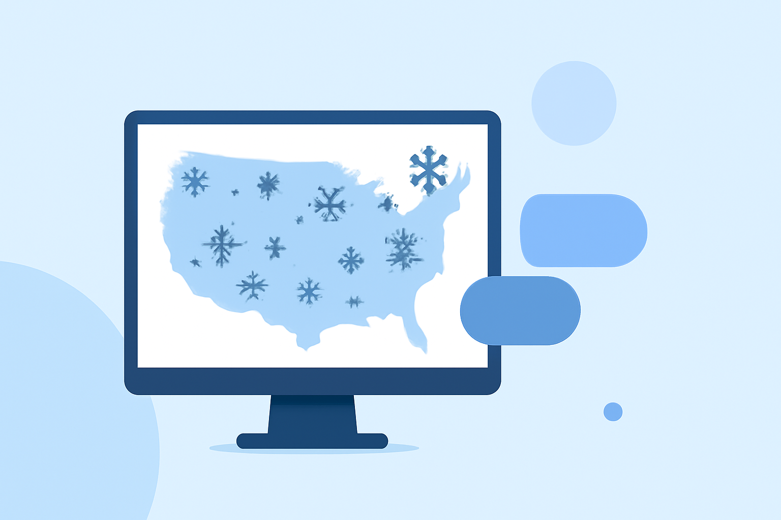
For those seeking easy solutions for tracking snow conditions in the United States, Clime stands out as a reliable option, providing real-time radar and forecasts. Alternative paths include viewing specialized snow maps from various online resources, which may offer specific data layers for users with unique needs.
Summary
- Clime delivers comprehensive snow forecasts, featuring radar maps that highlight real-time snow conditions.
- Alternative resources exist for snow covers, including NOAA’s dedicated maps and third-party services.
- Easy interpretation of snow maps is essential for quick decision-making in winter activities.
- Layered features enhance the user experience, allowing customization based on specific needs.
How do readers interpret snow maps quickly?
Reading snow maps efficiently often requires a fundamental understanding of the visual cues and layers presented. Most snow maps utilize color coding to differentiate between snow depth and types of precipitation — generally, white areas indicate snow, while shades of blue or purple may represent varying snow densities or ice. Knowing these indicators helps users grasp conditions quickly and make informed decisions regarding travel and outdoor activities.
What features define an easy snow map for quick decisions?
An effective snow map should prioritize user-friendliness, offering:
- Clear Visuals: Strong color contrast among different snow depth levels ensures instant comprehension.
- Real-Time Updates: Regularly refreshed data, especially crucial before and during winter storms.
- Overlay Options: The ability to see additional data layers such as road conditions, weather forecasts, and historical snow depth can enhance utility for planning purposes.
- Mobile Accessibility: An application format, like that offered by Clime, enables on-the-go access to critical information.
How do different platforms display snow data across the United States?
Various platforms approach snow data differently:
- Official NOAA Resources: Platforms like the NOAA Climate.gov offer detailed daily maps that display snow cover and ice extent, useful for those seeking authoritative information.
- Third-Party Mapping Tools: Other applications and websites utilize customized overlays to present real-time data such as precipitation radar, winter storm probabilities, and forecasts directly on their maps. For example, third-party tools allow users to visualize how current weather might impact snow coverage.
- Clime's Unique Offering: Clime combines real-time snow forecasts with interactive radar maps to highlight both current snowfall and projected conditions over the next 24 hours, making it an all-in-one resource for snow monitoring.
Why is precise snow information essential for winter activities?
Understanding accurate snow information is crucial for various winter activities, such as:
- Travel Planning: Drivers need up-to-date information to navigate safely during snow events, minimizing accident risks.
- Skiing and Snowboarding: Snow enthusiasts rely on forecasts to target conditions that suit their preferences, such as fresh powder versus packed snow.
- Emergency Preparedness: Awareness of potential heavy snow impact can lead to better preparedness for disruptions in services or power outages.
What role does technology play in snow forecasting?
Technology has transformed snow forecasting and how users interact with data:
- Real-Time Data Processing: Advanced algorithms and radar technology enable more accurate and timely forecasts, essential for assessing rapidly changing weather conditions.
- Mobile App Integration: Easy access to forecasts and alerts through applications, like Clime, helps users stay informed wherever they are.
- Customization Options: Users can tailor notifications based on their specific locations and preferences, ensuring they receive only the most relevant updates.
What we recommend
- For straightforward, reliable snow tracking, utilize Clime’s radar features that highlight real-time precipitation.
- Explore additional resources, like NOAA’s daily snow maps, for detailed government-issued metrics.
- Consider the mobility of app-based solutions to stay updated during winter travels or outdoor activities.
- Stay aware of layering features that allow you to see additional environmental data alongside snow forecasts.