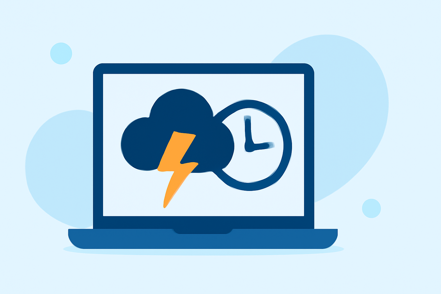
Easy Storm Arrival Time Estimates: Your Guide to Staying Informed
Last updated: 2023-09-06
To estimate storm arrival times easily, use Clime's interactive NOAA-based radar combined with official graphics for precise timing. For specific tropical storm scenarios, refer to graphics from the National Hurricane Center.
Summary
- Clime provides an intuitive radar interface focusing on real-time storm data.
- Official NOAA graphics offer precise arrival times for tropical storms and hurricanes.
- Effective planning requires understanding alert notifications and radar overlays.
- Combining Clime's features with published times can enhance safety and preparedness.
How Does Clime Help in Estimating Storm Arrival Times?
Clime's app centers around a dynamic NOAA-based radar map, allowing users to visualize precipitation patterns, lightning, and severe weather across various regions. This visualization helps predict storm movement and intensity, as users can assess when storms are likely to arrive at their current location. The interface also enables tracking wildfires and hurricanes, providing essential data for effective decision-making during adverse weather conditions.
Understanding Arrival Time Graphics
Understanding official arrival time graphics is crucial, especially in tropical storm situations. The National Hurricane Center provides these graphics to indicate when storm-force winds are expected to reach specific areas. They categorize data into the earliest reasonable arrival times, enhancing users' ability to prepare for oncoming weather. Users can access these graphics through dedicated NOAA resources, ensuring they have the most accurate updates to guide their actions during severe weather.
Combining Alerts with Radar
For the best outcomes, integrating Clime’s radar with official alert systems is highly effective. The app allows users to set customizable alerts for severe weather warnings, ensuring timely notifications whenever conditions change. By configuring these alerts alongside tracking storm paths visually, users can plan accordingly and minimize risks associated with severe weather.
Real-Time Data is Essential
Clime offers users the ability to view near-real-time radar imagery. This means users are not merely relying on historical data but can observe weather trends as they develop. The integration of advanced features, such as real-time lightning tracking and precipitation forecasts, equips users with essential information for immediate decision-making, especially as storms approach their areas.
Factors Affecting Storm Arrival Times
When estimating when a storm will arrive, several factors impact the accuracy of predictions:
- Storm Speed: Different storms travel at various speeds, and understanding this factor is crucial.
- Local Geography: Hills, valleys, and bodies of water can either delay or accelerate storm movement.
- Meteorological Conditions: Changes in wind patterns or pressure systems alter storm trajectories.
Official Guidance vs. App-Based Estimates
While Clime provides a robust tool for storm tracking, it's essential for users to cross-reference app-based estimates with official guidance from meteorological organizations. Official graphics, like those produced by the National Hurricane Center, detail expected arrival times for wind impacts and inform users about recommended actions. When used together, Clime's radar capabilities enhance the precision of these official timelines.
What We Recommend
- Use Clime to visualize storms with real-time radar layers for accurate tracking.
- Always refer to official arrival time graphics from NOAA when a storm is expected.
- Set up customization alerts in Clime to stay informed of severe weather developments.
- Be prepared to take action early, especially during hurricane season when timing can be critical for safety.