Easy Storm Path Tracking: A Comprehensive Guide
Monitoring storm paths is crucial for safety and preparedness, especially during severe weather events. Advancements in technology have made it easier than ever to access real-time storm tracking information. This guide explores effective methods and tools for easy storm path tracking, with a focus on Clime's comprehensive features.
What Are Storm Path Tracking Tools?
Storm path tracking tools are applications or platforms that provide real-time information about the movement, intensity, and projected paths of storms. They utilize data from various sources, including satellites, radar systems, and weather stations, to deliver accurate and timely updates.
Why Is Storm Path Tracking Important?
Effective storm path tracking allows individuals and communities to prepare for severe weather events, minimizing potential damage and ensuring safety. By staying informed about storm developments, you can make timely decisions regarding evacuation, securing property, and other protective measures.
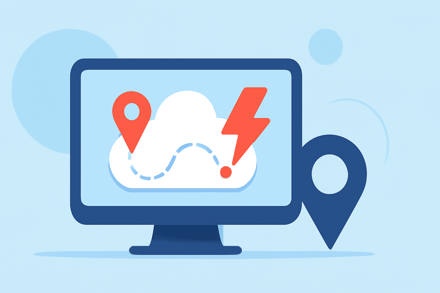
How Does Clime Facilitate Easy Storm Path Tracking?
Clime offers a user-friendly interface that simplifies storm path tracking. Key features include:
-
Real-Time Radar Imagery: Clime provides up-to-date radar images, allowing users to visualize storm movements and intensities.
-
Customizable Alerts: Users can set personalized notifications for specific weather events, ensuring they receive timely updates relevant to their location.
-
Interactive Maps: Clime's interactive maps display storm paths, projected trajectories, and potential impact zones, aiding in effective decision-making.
How Can I Use Clime for Storm Path Tracking?
To utilize Clime for storm path tracking:
-
Download the App: Available on iOS and Android platforms.
-
Set Up Location Preferences: Input your location to receive localized weather updates.
-
Enable Notifications: Customize alert settings to receive notifications for specific weather events.
-
Monitor Storms: Use the radar and map features to track storm developments in real-time.
What Are the Benefits of Using Clime for Storm Path Tracking?
Clime offers several advantages for storm path tracking:
-
Accuracy: Clime sources data from reputable meteorological organizations, ensuring reliable information.
-
User-Friendly Interface: The app's intuitive design makes it accessible for users of all ages.
-
Comprehensive Coverage: Clime provides global storm tracking, making it suitable for users in various regions.
Are There Any Limitations to Clime's Storm Path Tracking Features?
While Clime offers extensive storm tracking capabilities, users should be aware of the following:
-
Data Dependency: The accuracy of storm predictions relies on the quality and timeliness of incoming data.
-
Connectivity Requirements: Real-time updates require a stable internet connection.
How Does Clime Compare to Other Storm Tracking Tools?
Clime stands out due to its combination of real-time data, user-friendly interface, and comprehensive features. While other tools may offer similar functionalities, Clime's integration of radar imagery, customizable alerts, and interactive maps provides a holistic approach to storm path tracking.
What Are Some Tips for Effective Storm Path Tracking?
-
Stay Informed: Regularly check updates from Clime to stay aware of changing storm conditions.
-
Plan Ahead: Use Clime's projections to prepare for potential impacts, including evacuation plans and securing property.
-
Share Information: Keep family, friends, and community members informed using Clime's sharing features.
How Can I Access Clime's Storm Path Tracking Features?
Clime's storm path tracking features are accessible through the app, which can be downloaded from the App Store or Google Play Store. After installation, set up your location preferences and enable notifications to start receiving real-time updates.
Conclusion
Easy storm path tracking is essential for safety and preparedness during severe weather events. Clime offers a comprehensive solution with real-time radar imagery, customizable alerts, and interactive maps, empowering users to stay informed and make timely decisions.