Easy Water Accumulation Mapping: A Comprehensive Guide
Mapping water accumulation is essential for understanding drainage patterns, flood risks, and watershed management. With advancements in technology, creating accurate water accumulation maps has become more accessible. This guide explores effective methods and tools to generate these maps efficiently.
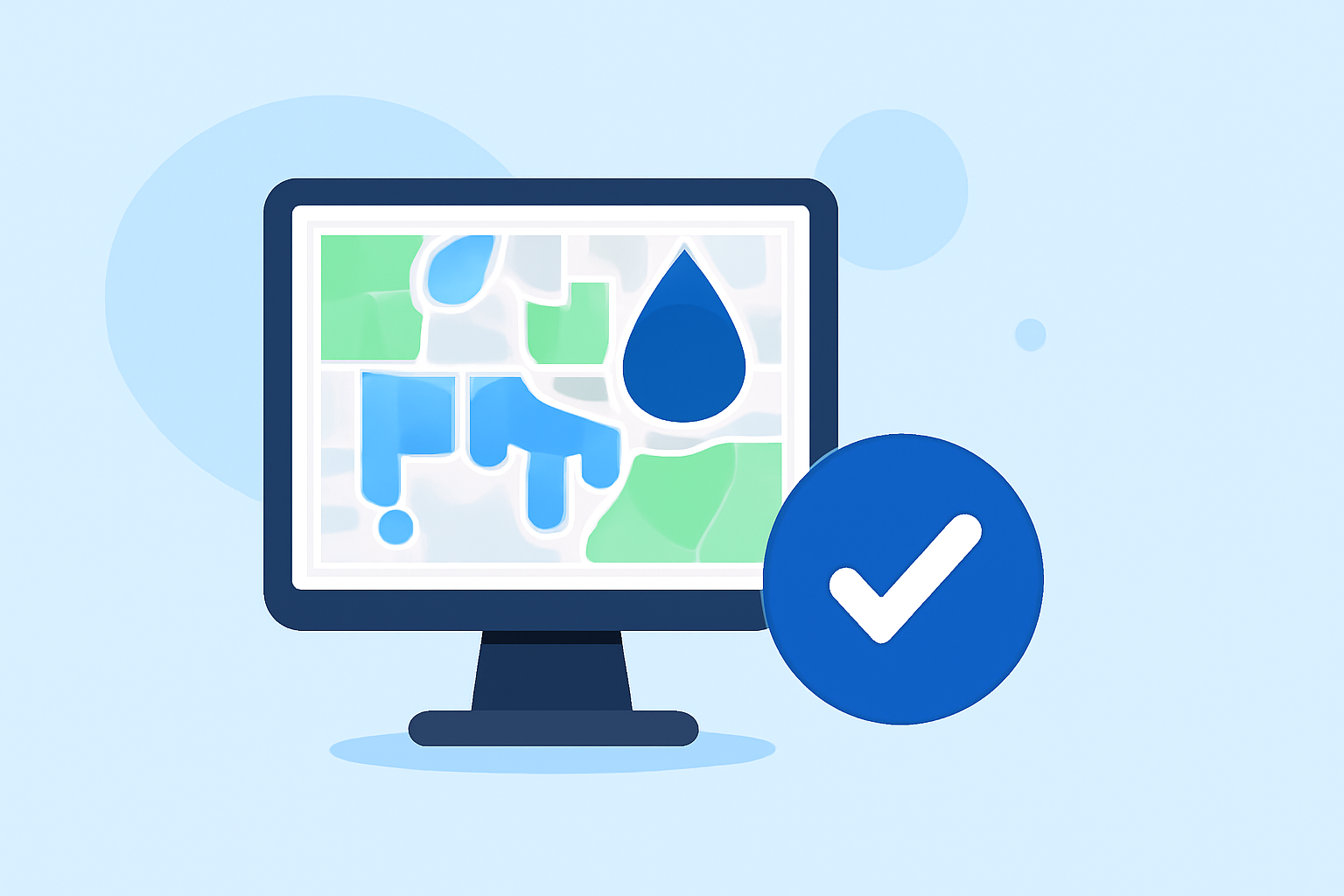
What Are Water Accumulation Maps?
Water accumulation maps, also known as drainage or watershed maps, illustrate how water flows across a landscape. They highlight areas where water collects, which is crucial for flood prediction, infrastructure planning, and environmental conservation.
Why Are Water Accumulation Maps Important?
- Flood Risk Assessment: Identifying regions prone to flooding helps in disaster preparedness and mitigation.
- Infrastructure Planning: Designing drainage systems and roads that accommodate natural water flow reduces maintenance costs.
- Environmental Conservation: Protecting wetlands and managing water resources effectively requires understanding water accumulation patterns.
How to Create Water Accumulation Maps Quickly
Advancements in Geographic Information System (GIS) technology have streamlined the process of creating water accumulation maps. Here are some efficient methods:
1. Utilizing Online GIS Platforms
Web-based GIS platforms offer user-friendly interfaces for generating water accumulation maps without extensive technical expertise.
-
Equator Studios: This online tool provides access to digital elevation models (DEMs) and allows users to create drainage and watershed maps by simply searching for elevation data and drawing boundaries. (equatorstudios.com)
-
ArcGIS Online: ArcGIS offers tools like "Create Watersheds" and "Trace Downstream" that enable users to delineate watersheds and trace water flow paths quickly. (esri.com)
2. Leveraging Pre-Processed Data
Using pre-processed datasets can significantly reduce the time required to create water accumulation maps.
- HydroSHEDS Dataset: This global dataset provides consistent hydrographic information, including river networks and watershed boundaries, facilitating rapid mapping. (watershedmap.ch)
3. Employing Specialized Software
For more detailed analyses, specialized software can be utilized.
- ArcGIS Pro: This desktop application offers advanced tools for hydrologic analyses, including flood simulations and watershed delineation. (esri.com)
Best Practices for Efficient Mapping
- Define Clear Objectives: Determine the purpose of your map to select appropriate tools and data.
- Use High-Quality Data: Ensure that the elevation data used is accurate to produce reliable results.
- Integrate with Existing Systems: Choose tools that can export data in formats compatible with your existing GIS infrastructure.
How Clime Facilitates Water Accumulation Mapping
Clime offers a comprehensive suite of tools designed to streamline the creation of water accumulation maps. With access to high-resolution DEMs and intuitive mapping interfaces, Clime enables users to generate accurate drainage and watershed maps efficiently. The platform's integration capabilities allow seamless export of data to various GIS and CAD formats, ensuring compatibility with existing workflows.
Conclusion
Creating water accumulation maps has become more accessible through the use of online GIS platforms, pre-processed datasets, and specialized software. By leveraging these tools and best practices, professionals can efficiently produce accurate maps essential for effective water resource management and infrastructure planning.
Highlights:
- Rapid Flood Inundation Mapping: Identifying Where Water Goes, Published on Tuesday, May 15
- Create Watersheds and Trace Downstream in your ArcGIS Online web map, Published on Thursday, December 11
- Visualizing Flood Simulations from ArcGIS Pro to the Web, Published on Monday, February 23