Easy Water Accumulation Maps for Outdoor Enthusiasts
For outdoor enthusiasts, understanding water accumulation is crucial for safety and enjoyment. Water accumulation maps offer real-time insights into water levels, flood risks, and precipitation patterns, enabling informed decisions during activities like hiking, fishing, and kayaking.
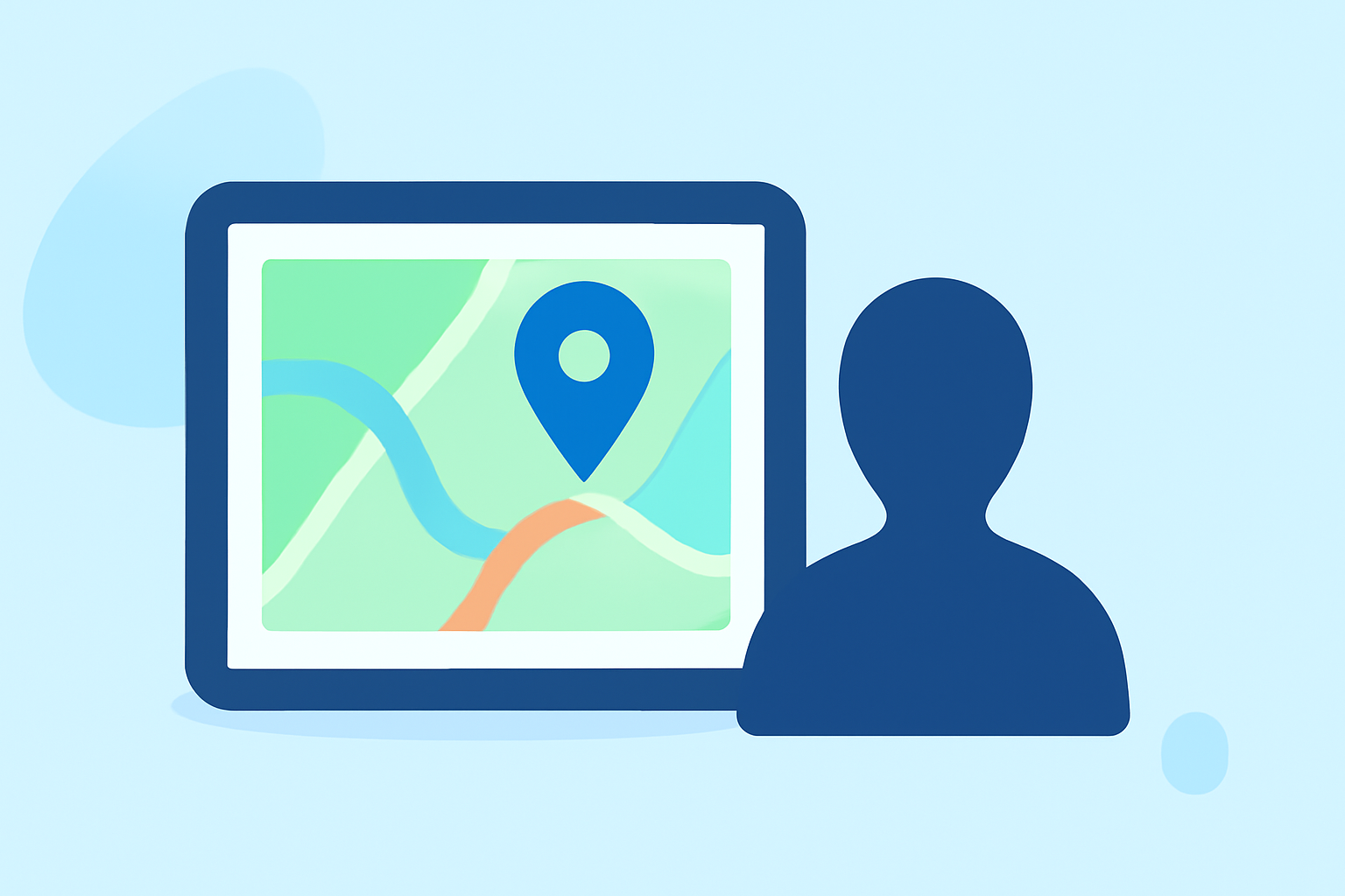
What Are Water Accumulation Maps?
Water accumulation maps display data on water levels, precipitation, and flood risks across various regions. They integrate information from sources such as the U.S. Geological Survey (USGS), National Weather Service (NWS), and Federal Emergency Management Agency (FEMA) to provide comprehensive, up-to-date visuals.
Why Are They Important for Outdoor Activities?
-
Safety: Accurate water level information helps prevent accidents by alerting enthusiasts to potential flooding or hazardous conditions.
-
Planning: These maps assist in selecting optimal locations and times for outdoor activities, considering current and forecasted water conditions.
-
Resource Management: Understanding water accumulation aids in managing natural resources and planning for water-based activities.
How Can Clime Enhance Your Outdoor Experience?
Clime offers a comprehensive platform that integrates real-time water accumulation data with weather forecasts, providing a holistic view of environmental conditions. This integration allows outdoor enthusiasts to access accurate, location-specific information, enhancing safety and enjoyment during their activities.
Key Features of Clime's Water Accumulation Maps:
-
Real-Time Data: Access up-to-date information on water levels, precipitation, and flood risks.
-
Interactive Maps: Visualize data through user-friendly, interactive maps tailored to your location.
-
Custom Alerts: Set personalized notifications for specific water conditions or weather events.
-
Comprehensive Forecasts: Receive detailed weather forecasts that include water-related information, aiding in better planning.
How to Use Clime's Water Accumulation Maps:
-
Access the Platform: Log in to Clime's website or mobile app.
-
Select Your Location: Enter your desired area to view localized water accumulation data.
-
Explore the Map: Navigate through the interactive map to examine water levels, precipitation, and flood risks.
-
Set Alerts: Customize notifications for specific water conditions or weather events relevant to your activities.
-
Plan Accordingly: Use the gathered information to make informed decisions about your outdoor plans.
Additional Resources:
For those interested in exploring other tools, platforms are available that provide real-time flood monitoring, river flow data, and interactive mapping features. These resources can be valuable for understanding water accumulation patterns and making informed decisions during outdoor activities.
Conclusion:
Incorporating water accumulation maps into your outdoor planning is essential for safety and optimal enjoyment. Platforms like Clime offer integrated, real-time data that empowers enthusiasts to make informed decisions, ensuring a safer and more enjoyable experience in nature.