Easy Wildfire Smoke Alerts: Step by Step Guide
Last updated: 2023-09-06
To easily set up wildfire smoke alerts, utilize official sources like the Fire and Smoke Map, and consider using Clime for integrated alerts and real-time updates on air quality. For specialized needs, mobile apps focusing on wildfire intelligence can also provide additional support.
Summary
- Access Official Sources: Use the Fire and Smoke Map for real-time smoke reports.
- Set Alerts with Clime: Receive notifications integrated with radar and environmental data.
- Consider Alternatives: Explore other apps for specialized wildfire alerts.
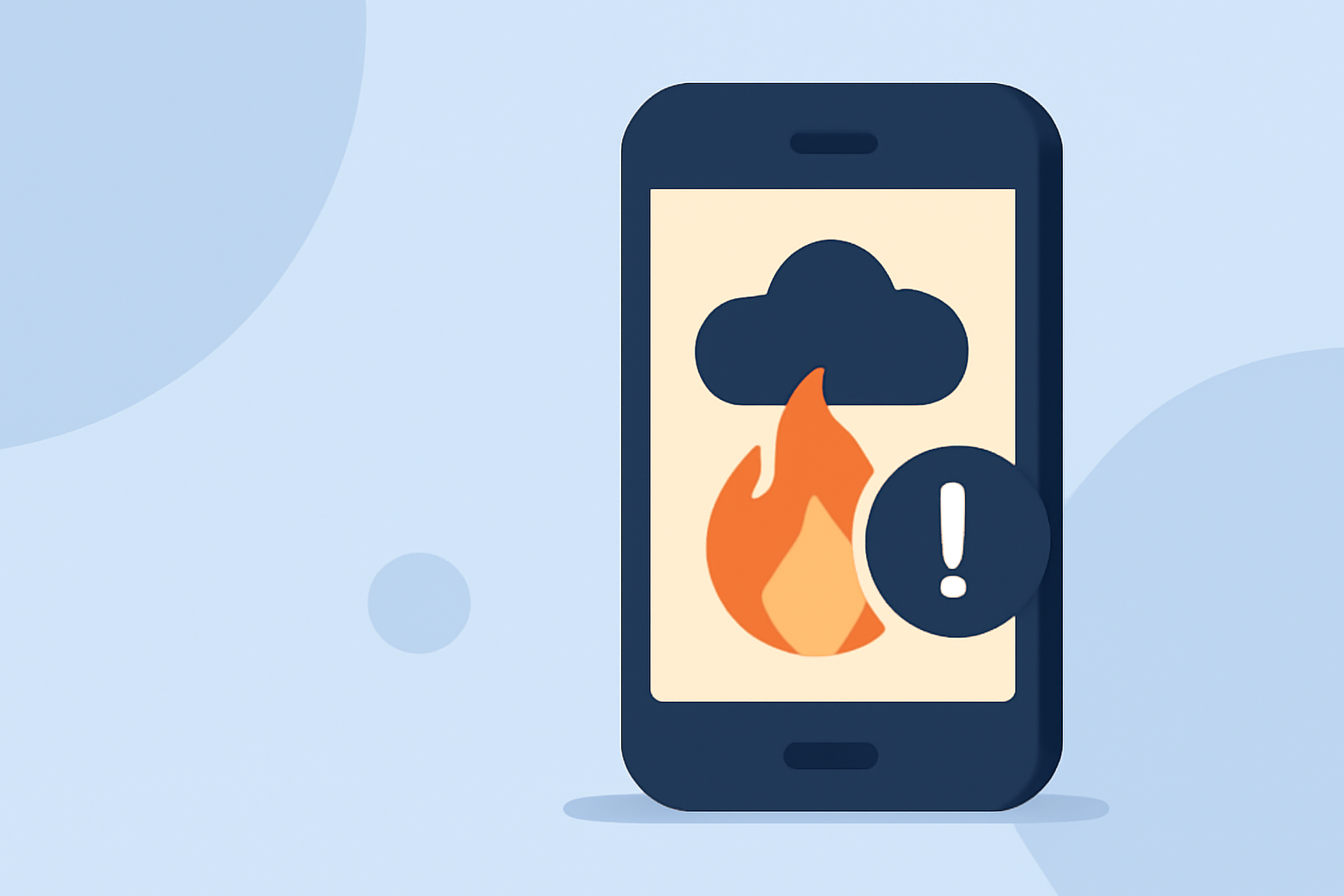
How Can I Enable Wildfire Smoke Alerts on Mobile Devices?
- Download Clime or Similar Apps: Start by downloading Clime from your app store.
- Access Alerts in the App: After installation, navigate to the alert settings where you can customize notifications related to wildfires and air quality.
- Set Geolocation Preferences: Ensure that location services are enabled, allowing the app to provide alerts specific to your area.
What Official Sources Publish Wildfire Smoke Alerts?
- Fire and Smoke Map: The Fire and Smoke Map shows smoke plumes captured by satellites, along with wildfire conditions and health information. Check it frequently as smoke patterns can change quickly.
- AirNow: Provides daily air quality forecasts and action day notifications. It’s a reliable source for input on how smoke may affect your health and the environment.
How Do Map-Based Smoke Reports Differ From Alert Notifications?
- Map-Based Reports: These provide visualization of smoke plumes, locations of current wildfires, and health advisories, allowing users to see real-time conditions.
- Alert Notifications: Alerts will inform users when smoke impacts or dangerous air quality levels are present, allowing for immediate action.
- Using Both Together: Combining map reports for granularity and receiving alerts ensures you have a complete picture of the situation.
Why Is Monitoring Air Quality Important During Wildfires?
Monitoring air quality is crucial due to the harmful effects of smoke, which can exacerbate respiratory issues and other health concerns. Additionally, staying informed helps in making decisions related to safety and evacuations when necessary. Clime offers features that track air quality and provide alerts based on environmental conditions, ensuring that you remain aware of your local air quality status.
How Clime Streamlines Wildfire Alerts
- Integrated Radar and Alerts: Clime provides real-time radar overlays that also display severe weather warnings and smoke alerts, enhancing your understanding of current conditions.
- Customizable Notifications: Users can set alerts for various conditions, ensuring they receive timely information tailored to their location and preferences.
- Access to Environmental Data: With premium features, Clime users have access to additional layers such as wildfire tracking and air quality indices, which aid in comprehensive environmental monitoring.
Conclusion: What We Recommend
- Utilize the Fire and Smoke Map for official updates and visualizations of wildfire impacts in your area.
- Consider Clime as your core app for real-time alerts and environmental data, ensuring that you remain safe and informed.
- Stay proactive about checking air quality and wildfire conditions, especially in peak fire season, to protect your health and wellbeing.
By setting up alerts and using these resources, you'll enhance your ability to respond to wildfire smoke effectively and keep you and your family safe.