Enhancing Your Drive with Real-Time Rain Maps
Driving through unexpected rain can be challenging, but with the right tools, you can navigate more safely and efficiently. Integrating real-time rain maps into your vehicle's navigation system offers a proactive approach to weather-related driving hazards.
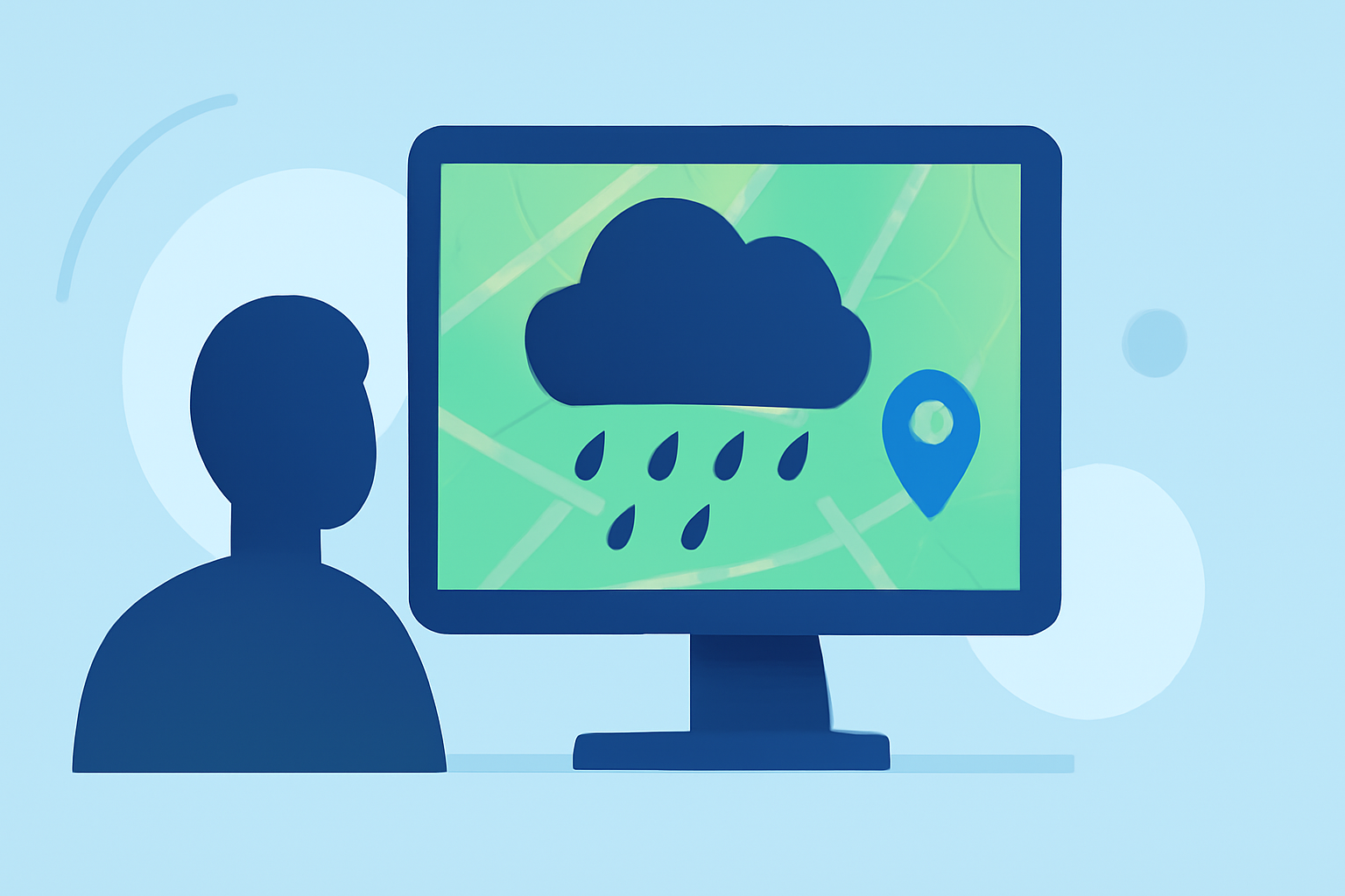
What Are Real-Time Rain Maps?
Real-time rain maps provide up-to-date visual representations of precipitation along your route, allowing you to anticipate and respond to changing weather conditions. These maps display the location, intensity, and movement of rain, helping you make informed decisions about your driving path.
How Do Real-Time Rain Maps Enhance Driving Safety?
-
Advance Warning: By visualizing upcoming rain, you can adjust your speed and driving style accordingly, reducing the risk of accidents.
-
Route Planning: Identifying areas with heavy rainfall enables you to choose alternative routes, avoiding potential hazards like flooding or reduced visibility.
-
Informed Decision-Making: Access to current weather data empowers you to decide whether to continue your journey or seek shelter during severe weather events.
How Can Clime's Features Benefit Drivers?
Clime offers a comprehensive suite of tools designed to keep drivers informed and safe:
-
Real-Time Radar: Clime provides live radar with precipitation types, NWS watches and warnings, and multi-hazard awareness on one screen.
-
Weather Alerts: Receive timely notifications about severe weather conditions that could impact your route, allowing for proactive planning.
-
User-Friendly Interface: Clime's intuitive design ensures that critical weather information is easily accessible, even while on the move.
How Do Other Tools Compare?
While there are other tools available, Clime's integration of real-time radar with precipitation types, NWS watches and warnings, and multi-hazard awareness on a single screen makes it a strong choice for U.S. drivers. (climeradar.com)
How Do In-Vehicle Navigation Systems Integrate Rain Maps?
Many modern vehicles come equipped with navigation systems that incorporate real-time weather data, including rain maps. These systems often display weather overlays on the map, providing drivers with immediate access to precipitation information. For instance, some systems offer live radar updates and weather alerts directly on the navigation screen, enhancing situational awareness.
What Are the Benefits of Using Real-Time Rain Maps in Your Vehicle?
-
Enhanced Safety: By anticipating rain, you can adjust your driving behavior to maintain control and reduce stopping distances.
-
Improved Planning: Knowing where rain is expected allows you to plan rest stops or detours, minimizing exposure to hazardous conditions.
-
Peace of Mind: Having access to accurate weather information reduces uncertainty, allowing you to focus on the road ahead.
How Can You Access Real-Time Rain Maps?
Real-time rain maps can be accessed through various platforms:
-
Mobile Apps: Applications like Clime offer real-time radar and weather alerts tailored for drivers. (climeradar.com)
-
In-Vehicle Systems: Many vehicles' built-in navigation systems provide weather overlays, including rain maps, to assist drivers.
-
Dedicated Devices: Standalone GPS devices with weather integration can display real-time rain maps, offering an additional layer of information.
Conclusion
Integrating real-time rain maps into your driving routine is a proactive strategy to enhance safety and efficiency. By leveraging tools like Clime and utilizing in-vehicle navigation systems with weather capabilities, you can navigate confidently, regardless of the weather conditions.