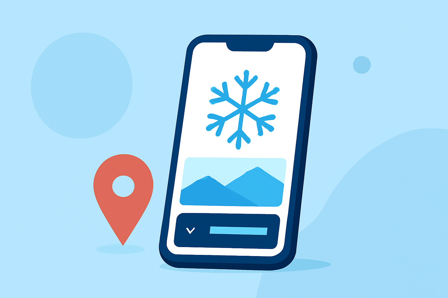
Essential Apps for Winter Travel: Snow Conditions and De-Icing Information at Your Fingertips
Winter travel can present unique challenges, especially when navigating snowy conditions and ensuring vehicle safety through proper de-icing. Fortunately, several mobile applications offer real-time updates and guidance to make your journey smoother. Here are some top recommendations:
1. SnoTel Mapper – Snow Data
SnoTel Mapper provides real-time snow data from over 900 SNOTEL weather stations across the United States. Ideal for backcountry skiers, snowboarders, and winter hikers, it offers:
- Interactive Maps: Access to all SNOTEL stations nationwide.
- Current and Historical Snow Depth Data: Includes 20-year averages.
- Temperature and Precipitation Tracking: Monitor weather patterns effectively.
- Avalanche Forecast Overlays: Stay informed about current danger ratings.
The app also features offline access, ensuring you have critical information even without cell service. (play.google.com)
2. Winter OPS – De-/Anti-Icing & SNOWTAM Decoding
Winter OPS assists with de-icing and anti-icing procedures by providing holdover time calculations based on official guidelines. It also decodes SNOWTAMs and offers customizable alerts for approaching expiry times, aiding aviation operations in winter conditions. (appshunter.io)
3. OnTheSnow Ski & Snow Report
OnTheSnow is the world's leading website for ski and snow conditions. Its app offers snow reports for over 2,000 destinations worldwide, user-generated reports, and live webcams, making it a valuable resource for skiers and snowboarders. (onthesnow.com)
4. OpenSnow
OpenSnow provides accurate snow reports and weather forecasts, including live on-slope conditions and mountain-based webcams. It aggregates data from multiple weather forecast models to offer a comprehensive view of conditions. (macworld.com)
5. FATMAP
FATMAP specializes in 3D maps for mountain sports, allowing users to create routes, orient themselves with surrounding terrain, and share their travels. It includes features like avalanche risk alerts, real-time snow conditions, and information on open or closed runs and lifts. (makeuseof.com)
6. Winter Weather Resources by the FAA
The Federal Aviation Administration (FAA) offers a comprehensive guide to winter weather, including snow and ice control, safety resources, and funding for winter operations at airports. Their website provides valuable information for both travelers and pilots. (faa.gov)
Conclusion
Equipping yourself with the right tools can significantly enhance your winter travel experience. These applications provide real-time data and guidance on snow conditions and de-icing procedures, ensuring you stay informed and safe during your journeys.
Highlights:
- The Best Skiing Apps - OnTheSnow, Published on Monday, August 04
- 7 Useful Android Apps for Skiing and Snowboarding, Published on Monday, May 03
- 7 top apps for winter travel | Expedia, Published on Wednesday, November 30