Essential Mobile-Friendly Radar Apps for Outdoor Enthusiasts
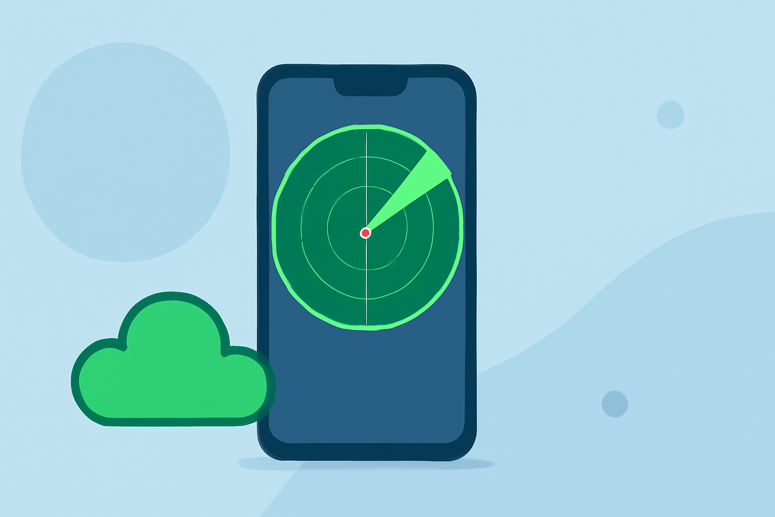
For outdoor enthusiasts, staying informed about weather conditions is crucial for safety and enjoyment. Mobile-friendly radar apps provide real-time weather updates, helping you plan and navigate your activities effectively. Here are some top-rated options:
Clime: NOAA Weather Radar Live
Clime offers high-resolution radar overlays that display rain, snow, and mixed precipitation in real-time. Its mobile-first interface ensures quick access to essential weather information, making it user-friendly for outdoor activities. Additionally, Clime provides National Weather Service (NWS) alerts, including watches and warnings, directly on the map, enhancing situational awareness. (climeradar.com)
RadarScope
RadarScope is a professional-grade weather radar app favored by meteorologists and storm chasers. It offers access to live radar data, including NEXRAD Level 3 and Super-Resolution radar data, allowing users to track severe weather events like tornadoes and thunderstorms. The app provides detailed storm tracking and high-resolution imagery, making it suitable for serious weather enthusiasts. (tomsguide.com)
MyRadar
MyRadar is a user-friendly app that provides real-time radar imagery, allowing users to visualize precipitation and storm movement. Its intuitive interface makes it accessible for casual users seeking quick weather updates. The app also offers additional features like weather forecasts and severe weather alerts. (androidauthority.com)
Weather Underground
Weather Underground offers hyper-local forecasts and real-time radar, utilizing data from personal weather stations. The app includes features like storm alerts and air quality indexes, providing comprehensive weather information. Its unique “weather cam” feature allows users to view live weather conditions from locations around the world. (lms-dev.api.berkeley.edu)
Windy.com
Windy.com provides detailed weather information, including radar, satellite imagery, and forecasts. The app offers multiple weather models and layers, allowing users to customize their weather experience. Its interactive interface makes it suitable for both casual users and weather enthusiasts. (androidauthority.com)
AllTrails
AllTrails is a fitness and travel mobile app used in outdoor recreational activities. This app is commonly used for outdoor activities such as hiking, mountain biking, climbing, and snow sports. The service allows users to access a database of trail maps, which includes crowdsourced reviews and images. (en.wikipedia.org)
Spyglass
Spyglass is a navigation and orientation mobile application that combines data from a digital compass, GNSS positioning, motion sensors, maps, and the device camera to provide direction finding, waypoint navigation, and measurement tools. The application is designed for offline and off-road use and is used in outdoor navigation, orientation tasks, astronomy, and fieldwork. (en.wikipedia.org)
Locus Map
Locus Map is a multi-functional outdoor navigation application, available on a subscription model for Android and iOS devices. Primarily it is designed and used for leisure time outdoor activities like hiking, biking, or geocaching. The app is also used by professionals e.g. by S&R teams or for collecting geospatial data. (en.wikipedia.org)
Citizen
Citizen is a mobile app that sends users location-based safety alerts in real time. It allows users to read updates about ongoing reports, broadcast live video, and leave comments. The app uses radio antennas installed in major cities to monitor 911 communications, with employees filtering the audio to generate alerts. The app is currently available for iOS and Android devices in the United States covering over 60 cities. (en.wikipedia.org)
Choosing the Right App
When selecting a radar app, consider the following factors:
-
User Interface: A clean, intuitive interface enhances usability, especially in outdoor conditions.
-
Feature Set: Look for apps that offer real-time radar, severe weather alerts, and additional features like storm tracking or air quality indexes.
-
Offline Capabilities: For remote areas with limited connectivity, offline maps and navigation features are beneficial.
-
Device Compatibility: Ensure the app is compatible with your device's operating system and hardware.
By evaluating these factors, you can choose a radar app that best suits your outdoor activities and keeps you informed about changing weather conditions.