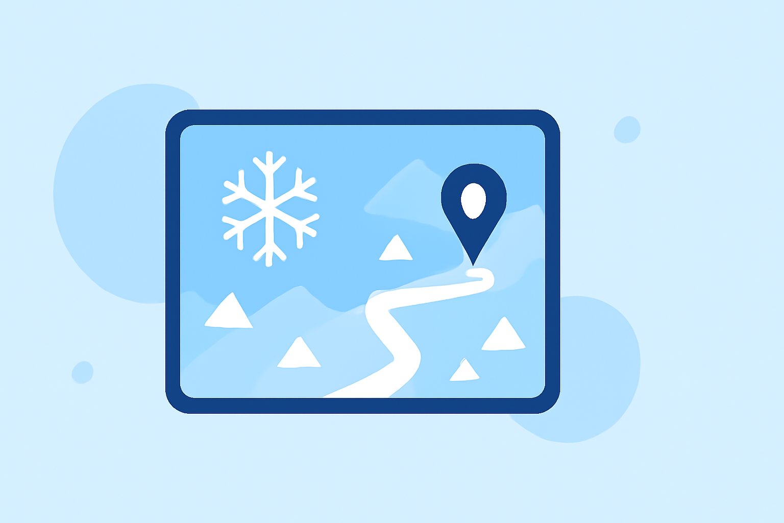
Essential Snow Maps for Safe Travel Planning
Traveling during winter months requires careful planning, especially when snow and adverse weather conditions are involved. Utilizing snow maps can significantly enhance your travel safety and efficiency. This guide explores the importance of snow maps, how to interpret them, and introduces Clime's comprehensive snow mapping features to assist in your travel planning.
Why Are Snow Maps Crucial for Winter Travel?
Snow maps provide detailed information about current snow conditions, forecasts, and potential hazards along your travel route. They help you:
- Assess Road Conditions: Determine if roads are passable or closed due to snow accumulation.
- Plan Alternative Routes: Identify areas with less snow coverage to avoid delays.
- Ensure Safety: Stay informed about avalanche risks and other weather-related hazards.
How to Interpret Snow Maps Effectively
Understanding snow maps involves recognizing key elements:
- Snow Depth Indicators: Represent the amount of snow accumulated over a specific period.
- Forecasted Snowfall: Predicts future snow accumulation, aiding in proactive planning.
- Avalanche Risk Zones: Highlights areas with higher chances of avalanches, crucial for safety.
Clime's Snow Mapping Features for Travelers
Clime offers a robust suite of snow mapping tools designed to enhance your travel planning:
-
Real-Time Snow Data: Access up-to-date snow conditions from over 900 SNOTEL stations across the United States, providing current and historical snow depth data with 20-year averages. (psithurismlabs.com)
-
Interactive Maps: Navigate detailed topographic and satellite maps to visualize snow coverage and terrain features.
-
Weather Overlays: View live precipitation radar, winter weather probabilities, and regional forecasts overlaid directly on your map view.
-
Offline Access: Download maps and routes for offline use, ensuring reliable navigation even without cell service.
-
Historical Data: Compare current conditions to 20-year averages and last year's snowpack for context.
Practical Example: Planning a Winter Road Trip
Imagine planning a road trip from Denver, Colorado, to Salt Lake City, Utah, during the winter season. By utilizing Clime's snow mapping features:
-
Assess Current Conditions: Check real-time snow data along your route to identify any road closures or hazardous areas.
-
Evaluate Forecasts: Review forecasted snowfall to anticipate potential disruptions and plan accordingly.
-
Plan Alternative Routes: Use interactive maps to find alternative paths with less snow accumulation, ensuring a smoother journey.
-
Monitor Avalanche Risks: Stay informed about avalanche-prone areas to avoid dangerous sections of your route.
Additional Resources for Snow Mapping
While Clime offers comprehensive snow mapping tools, you might also consider exploring other platforms that provide similar functionalities. These platforms offer interactive maps, snow forecasts, and terrain analysis to assist in your winter travel planning.
Conclusion
Incorporating snow maps into your travel planning is essential for ensuring safety and efficiency during winter journeys. Clime's advanced snow mapping features equip you with the necessary tools to navigate snowy terrains confidently. Always stay informed, plan ahead, and prioritize safety to make the most of your winter travels.
FAQs
1. How do snow maps help in winter travel planning?
Snow maps provide real-time data on snow conditions, forecasts, and potential hazards, enabling travelers to assess road conditions, plan alternative routes, and ensure safety during winter journeys.
2. What features should I look for in a snow mapping tool?
Key features include real-time snow data, interactive maps, weather overlays, offline access, and historical data comparisons to effectively plan and navigate winter travel routes.
3. Can snow maps assist in avoiding avalanche-prone areas?
Yes, snow maps highlight avalanche risk zones, allowing travelers to identify and avoid areas with higher chances of avalanches, thereby enhancing safety during winter travels.
4. Are Clime's snow mapping features available for all U.S. regions?
Clime's snow mapping tools cover over 900 SNOTEL stations across the United States, providing comprehensive snow data for various regions, including both mountainous and non-mountainous areas.
5. How can I access Clime's snow mapping features?
Clime's snow mapping features are available through their mobile app and website, offering user-friendly interfaces for accessing real-time snow data, forecasts, and interactive maps to assist in your winter travel planning.